All Airstrip Reports
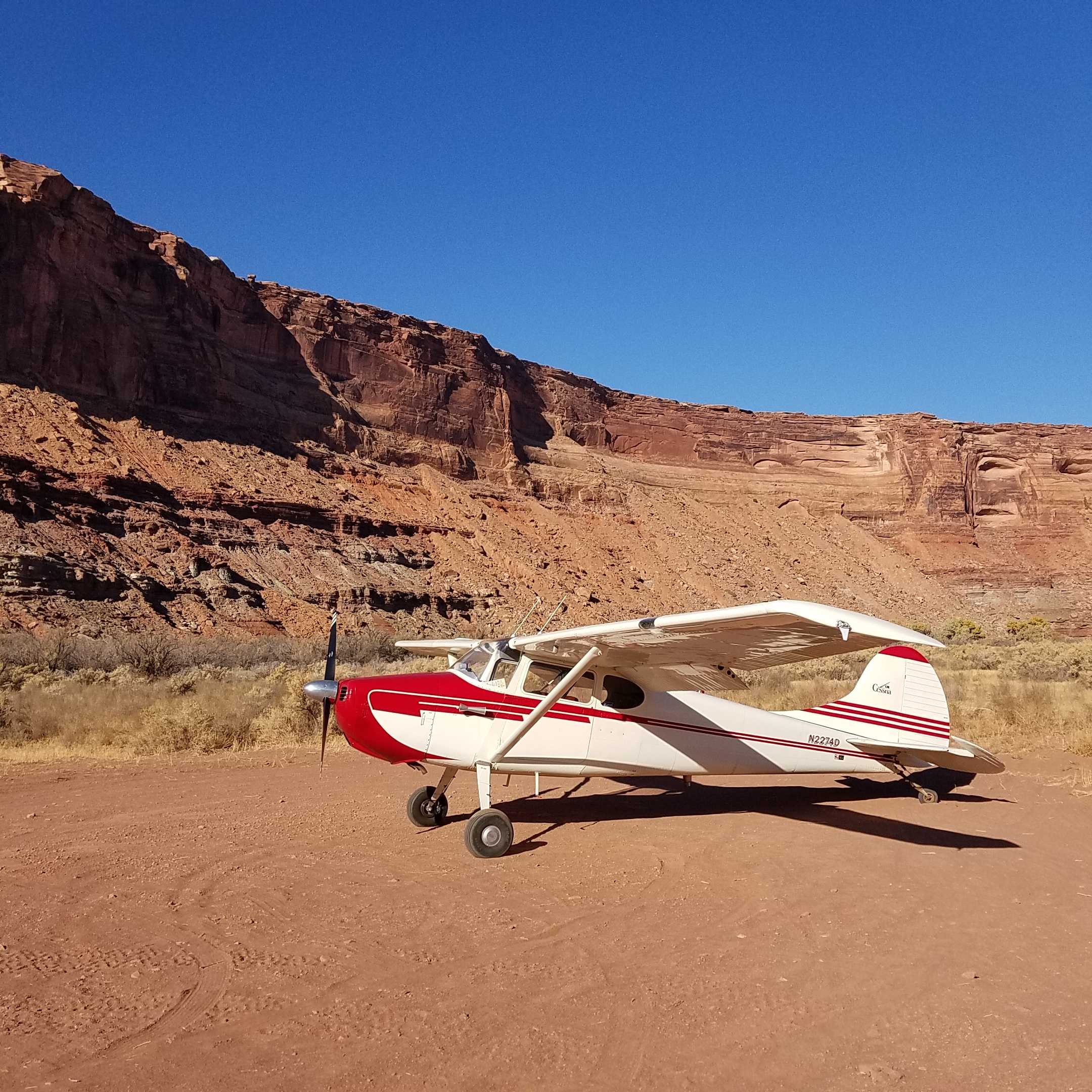
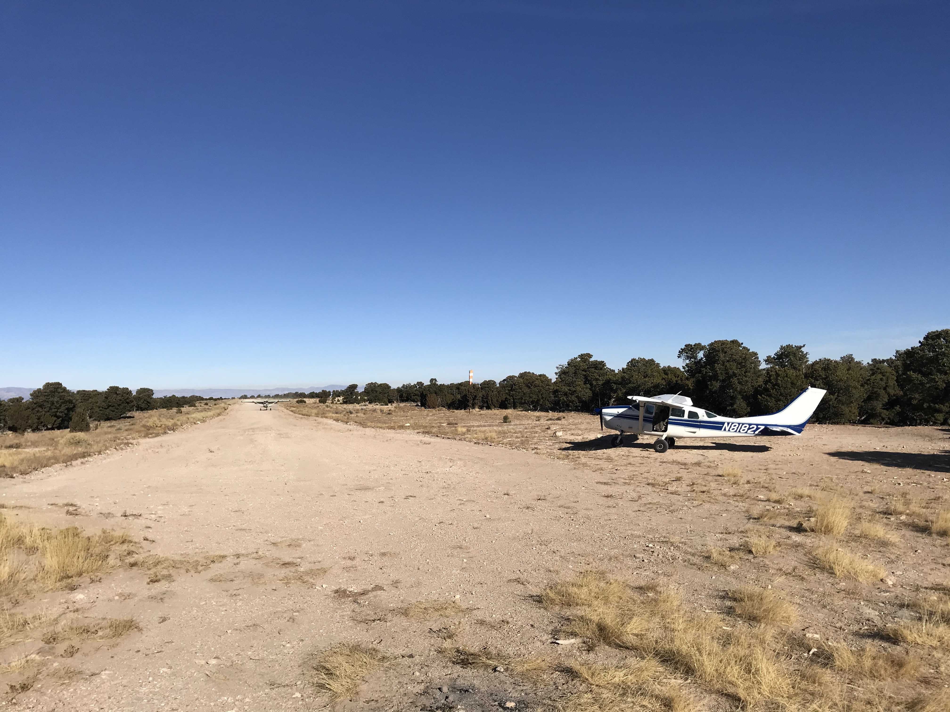
As our last stop, we landed here with one of the rec planners from the Price District on our survey flight of the strips in his district. The strip is in great shape. We weren't happy to see that some one had ridden their mountain bike in from the trailhead all the way to the Sheriff Tuttle plaque. So just a reminder to anyone visiting the strip that it is in a wilderness study area and things like bikes aren't allowed. Also, no new fire rings are allowed.
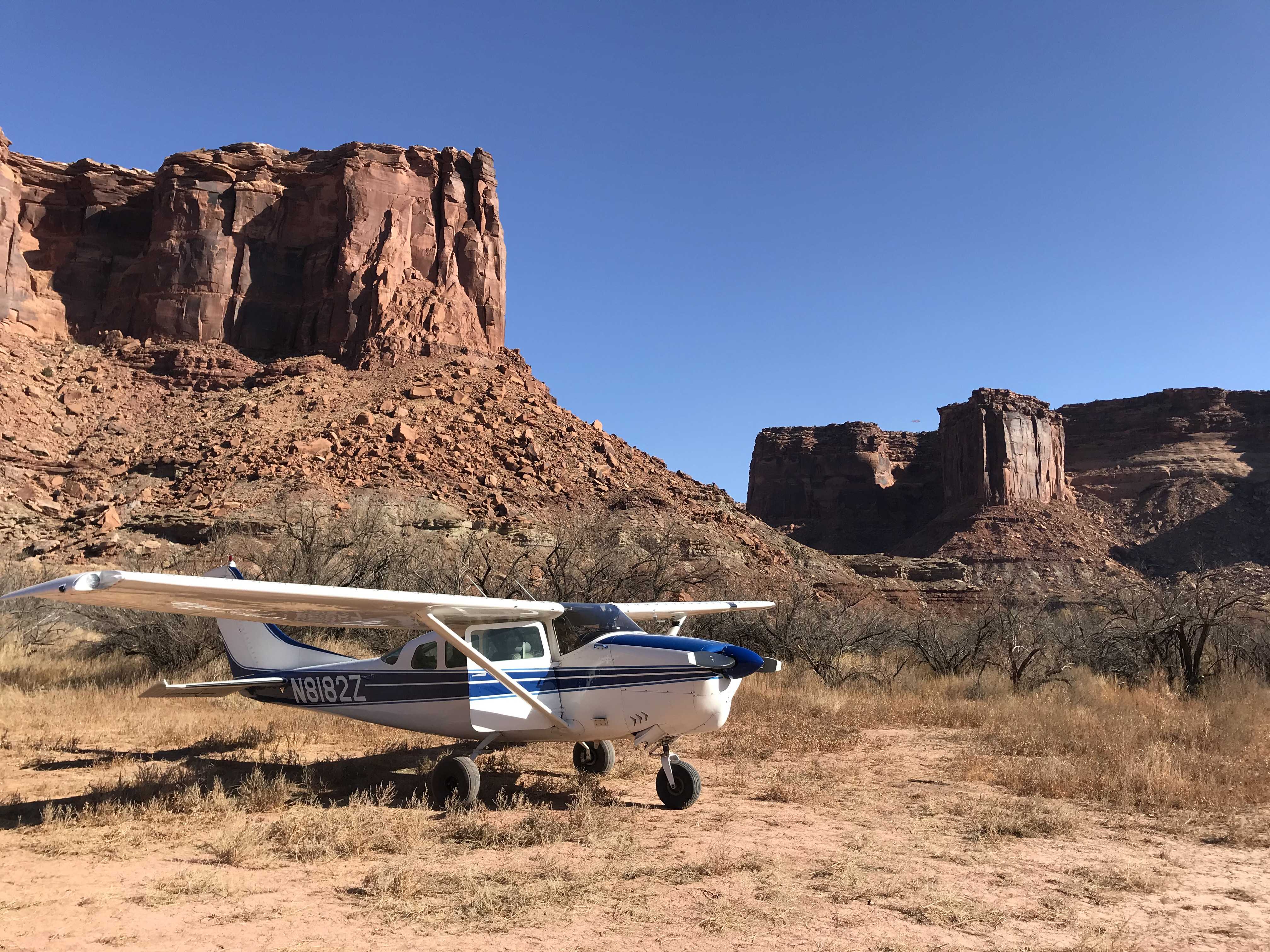
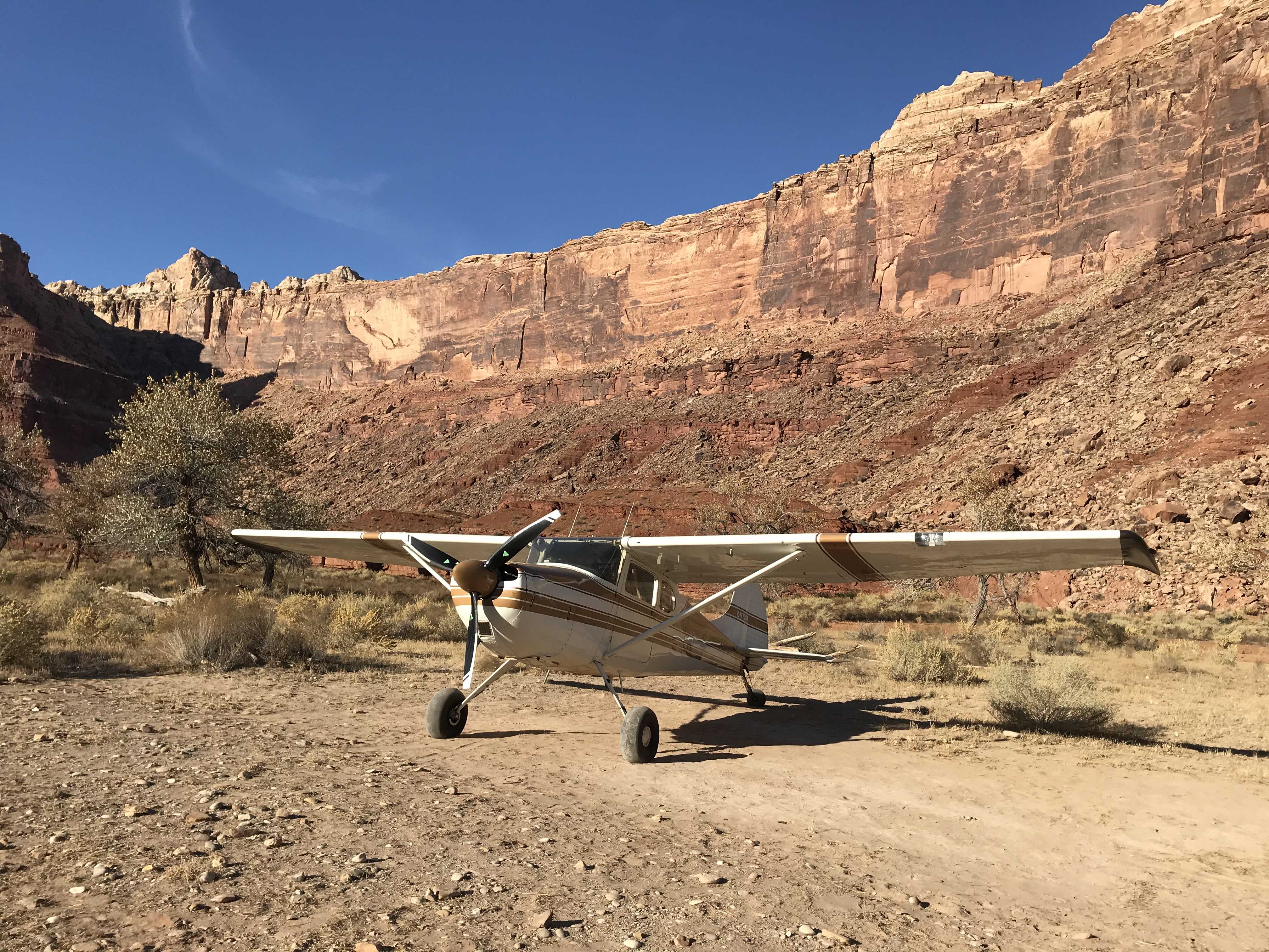
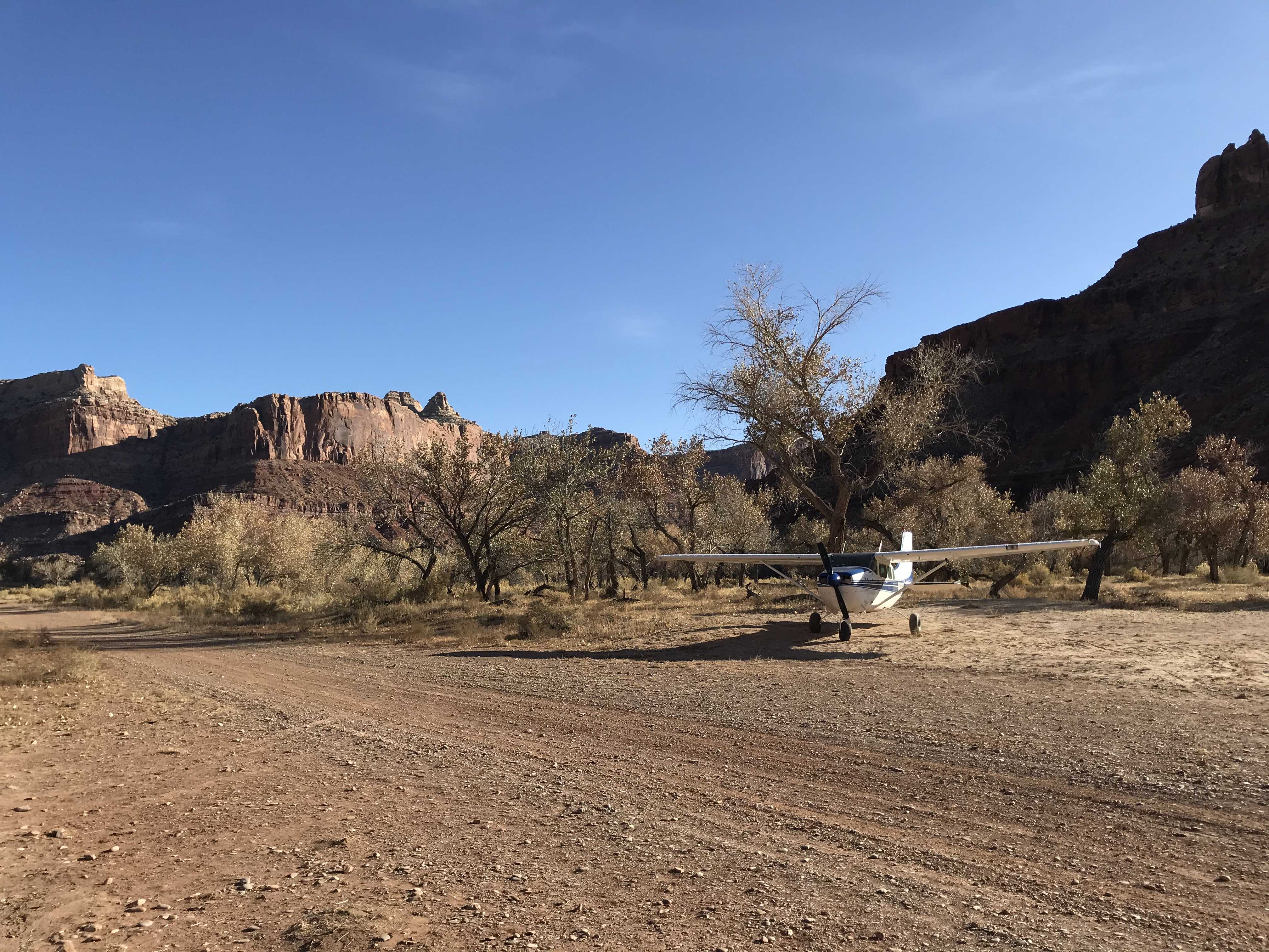
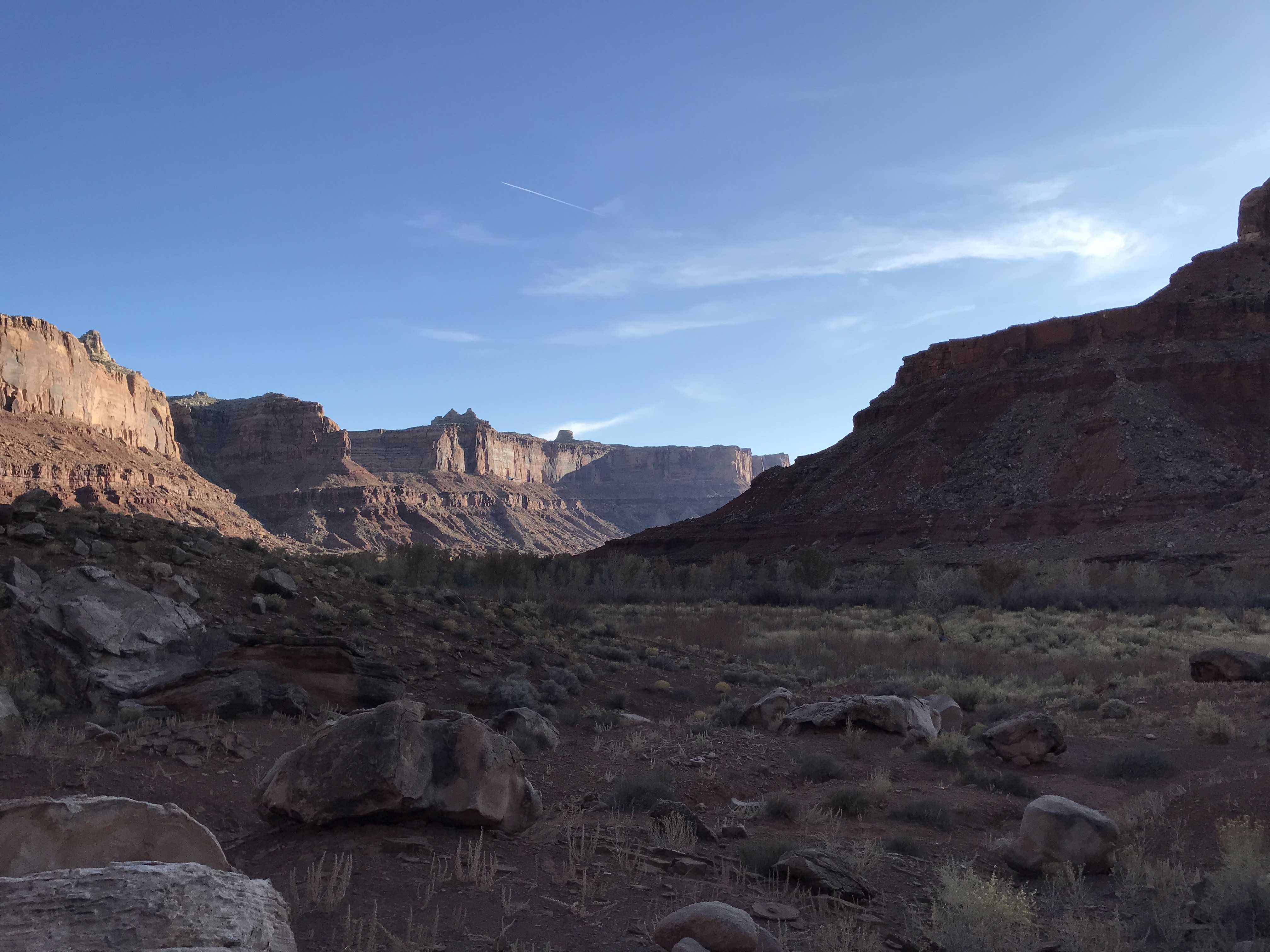
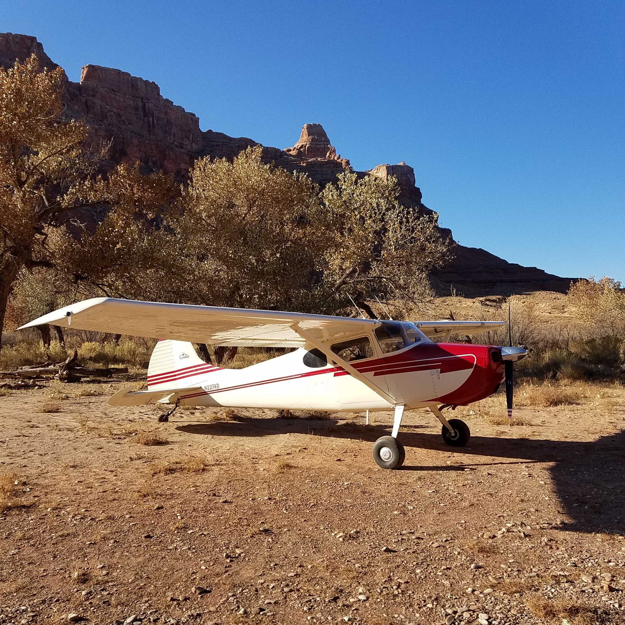
We over flew this strip as part of the survey flight we did with one of the rec planners from the Price District. The strip has seen recent use and looks to be in decent shape (reference the other recent reports). This airstrip is going to be affected by the Dingle Act and, according to the rec planner, will be one that is in danger of being lost as it will fall in the new wilderness area. So PLEASE, if you visit, make sure to file a report so that we can use the data to show that it is being used. That data will be invaluable when it comes time to argue for including it in the wilderness plan. In addition to the arch, there is also a hike to the Green River, the cowboy cave (Tibbits cave) and with a 5 mile bike ride, you can reach the trailhead to the Great Gallery.
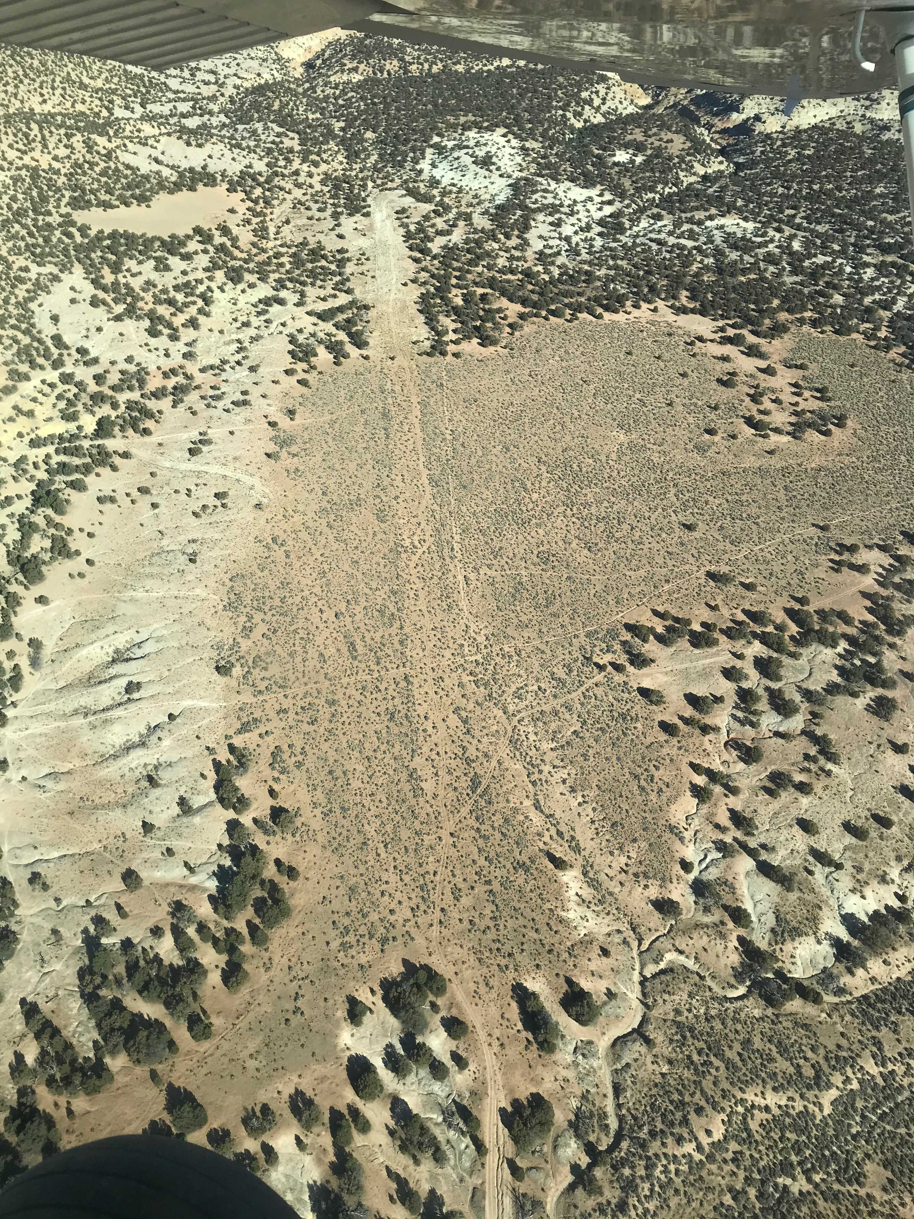
We went out this day with one of the recreational planners from the Price district to asses airstrips. I'd not been over this strip before and was surprised to find it in pretty good shape. Note that we did NOT land but made several passes. There is a two track road going down it and there are some watering troughs between the middle and the east end. However, it is very long with enough room to land on either side of the troughs. I'm guessing that the troughs would impede landing in that area either. West of the troughs looks to be the best and definitely looks landable. Watch out for the wild burros. We saw several along the strip. The rec planner says that Eardley Canyon is nearby and offers some great hiking. Looks like about a mile bike ride to where you can drop off the rim and start making your way down to an access point to the canyon.
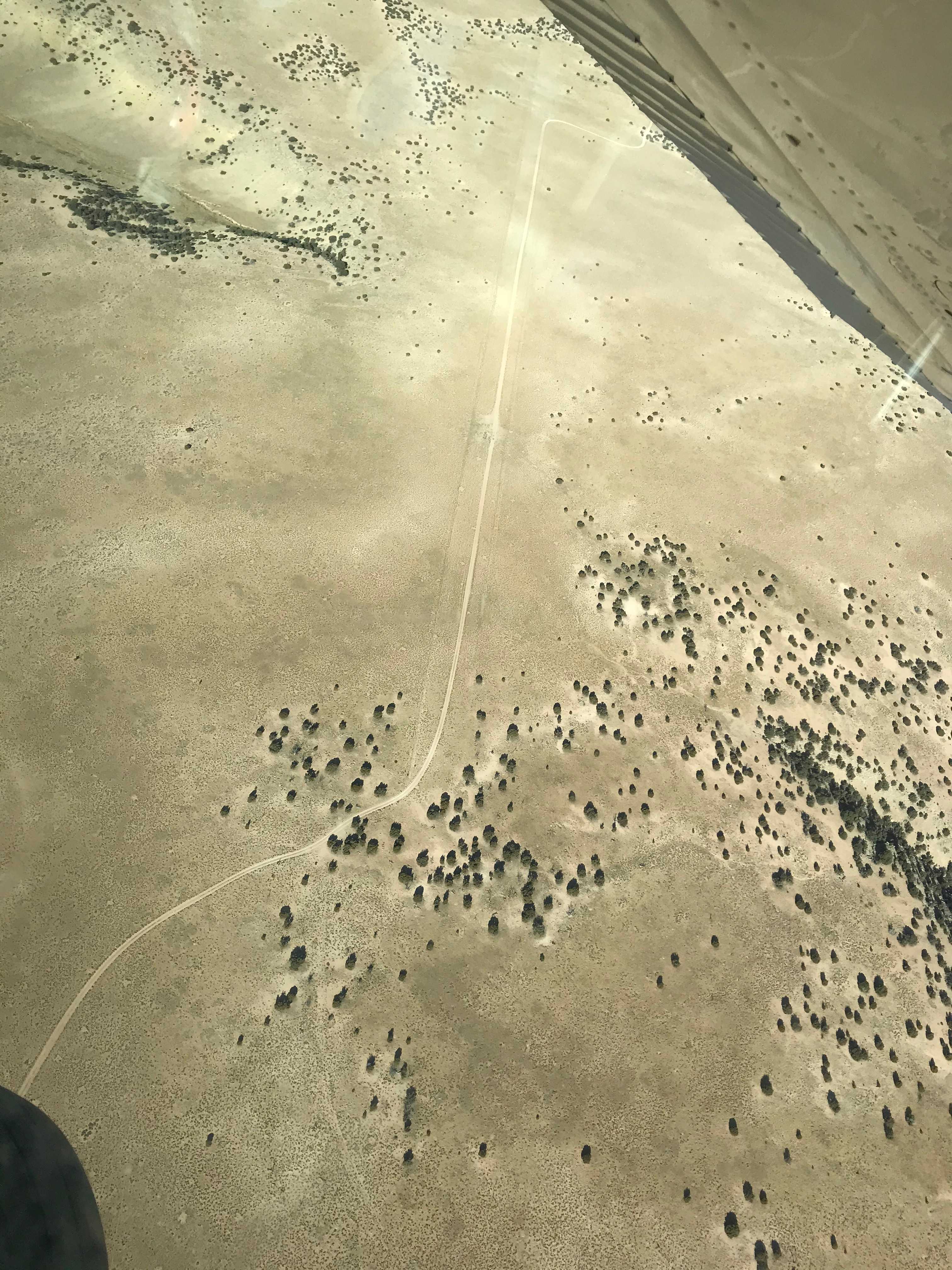
On this day we flew over the airstrip as part of an airstrip survey trip with one of the rec planners from the Price District. We did NOT land. The airstrip doesn't appear to be in too bad of condition, but we need to get on the ground, or have someone with big tires on a cub type aircraft to go check it out and report back to us. The road next to it is in great shape and regularly gets graded. My plan is to get down there and land on the road to go and walk the strip. Watch out of wild horses. There was a large herd hanging out on the south end of the strip. From the road at the north end of the strip that leads off to the southeast you can reach a point to access the Baptist Slot, the deepest slot in the San Rafael Swell. It would take about a 3-4 mile hike/bike ride to the access point.
On this day we were flying one of the rec planners for the Price District around to survey the airstrips in their district. I don't know any history of this airstrip other than a name and a location. It is overgrown and looks very rough. The rec planner said that he had heard of an unofficial ATV trail in the area and thinks that the two track down the strip may be part of it. Obviously we did not land.