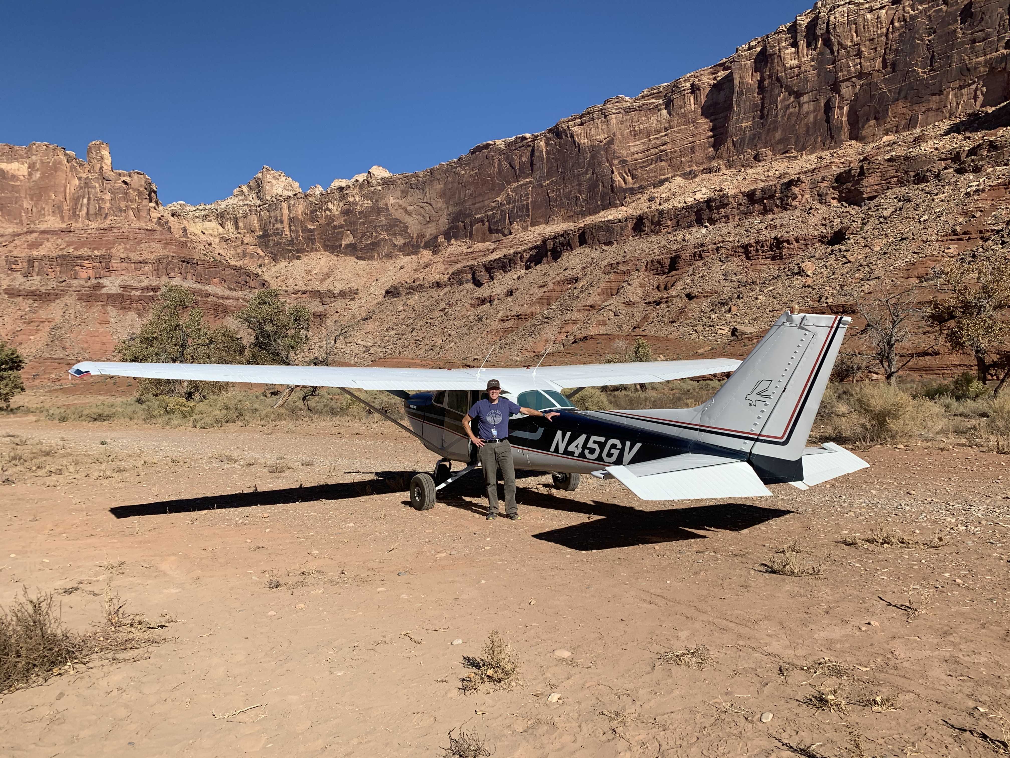
Airstrip Info
| Frequency | 122.90 |
|---|---|
| Elevation | 4461 ft |
| Lat/Long |
39.0188, -110.4504 39° 1.128' , -110° 27.024' |
| Runway 11/29 |
1900 ft
x 40 ft
Dirt |
| Ownership | BLM WSA |
Amenities
Weather
See more at the National Weather Center
Information updated April 13, 2020 @ 8:12pm
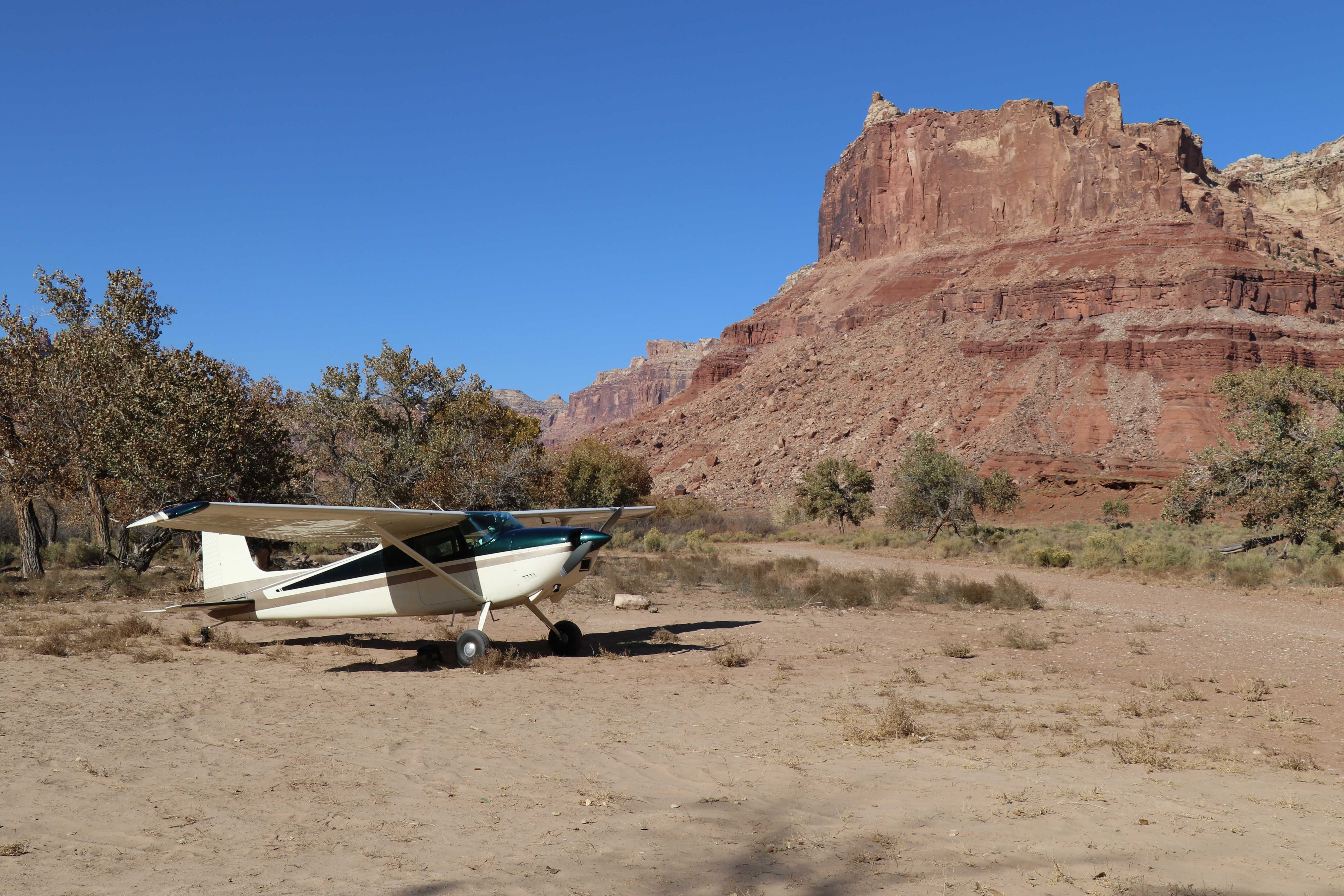
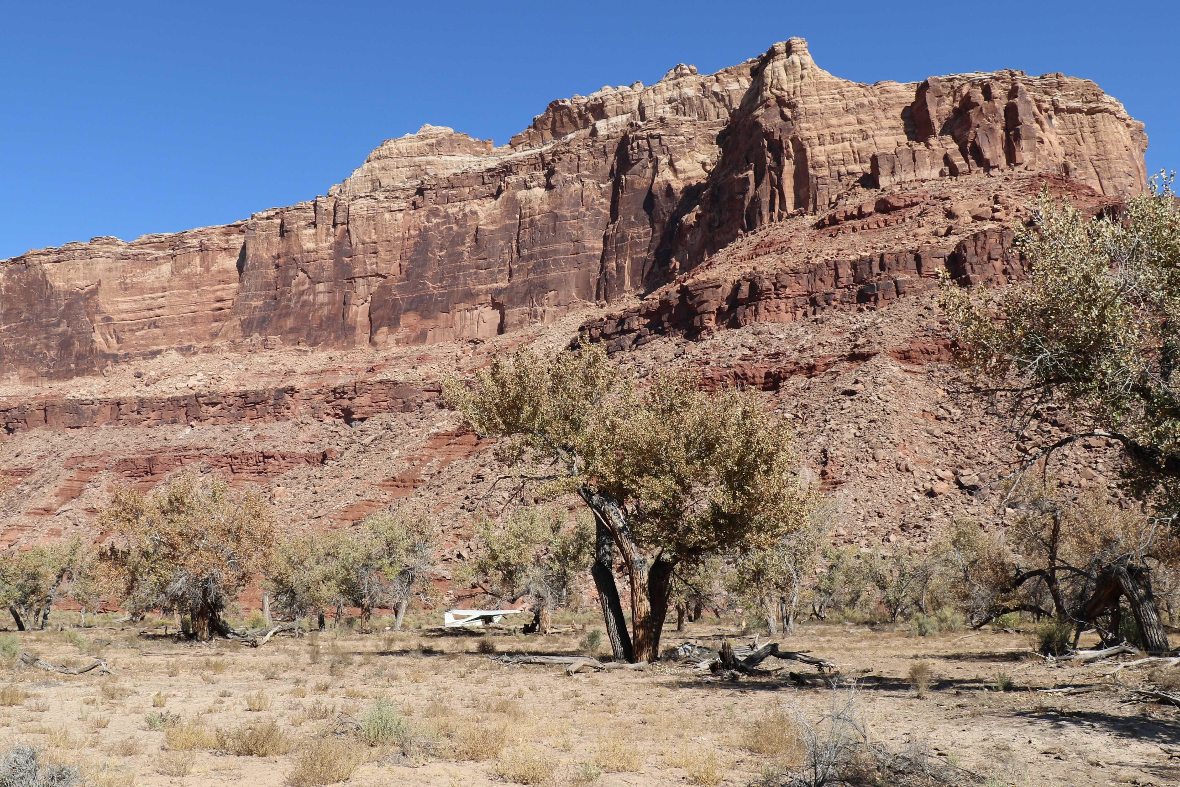
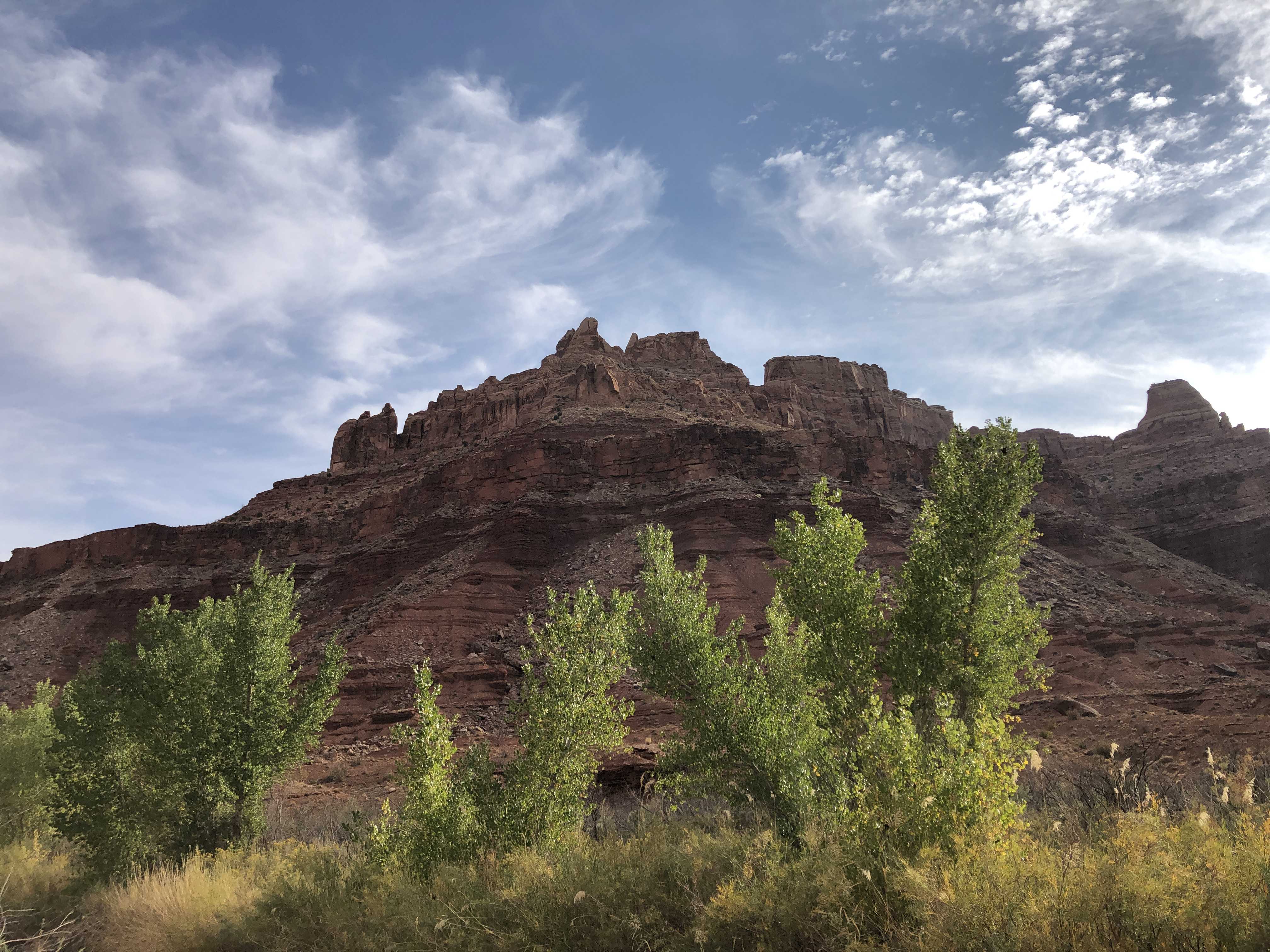
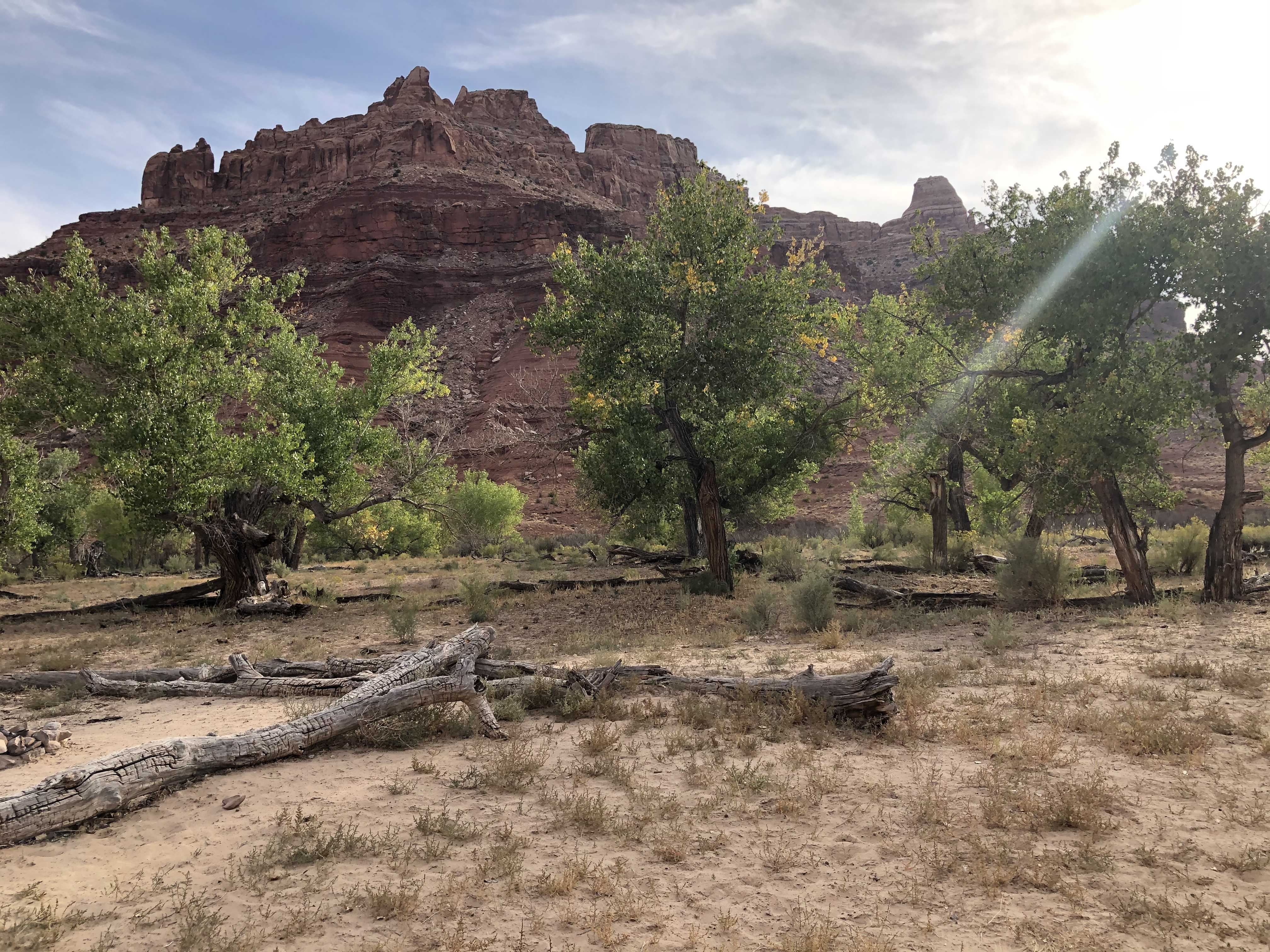
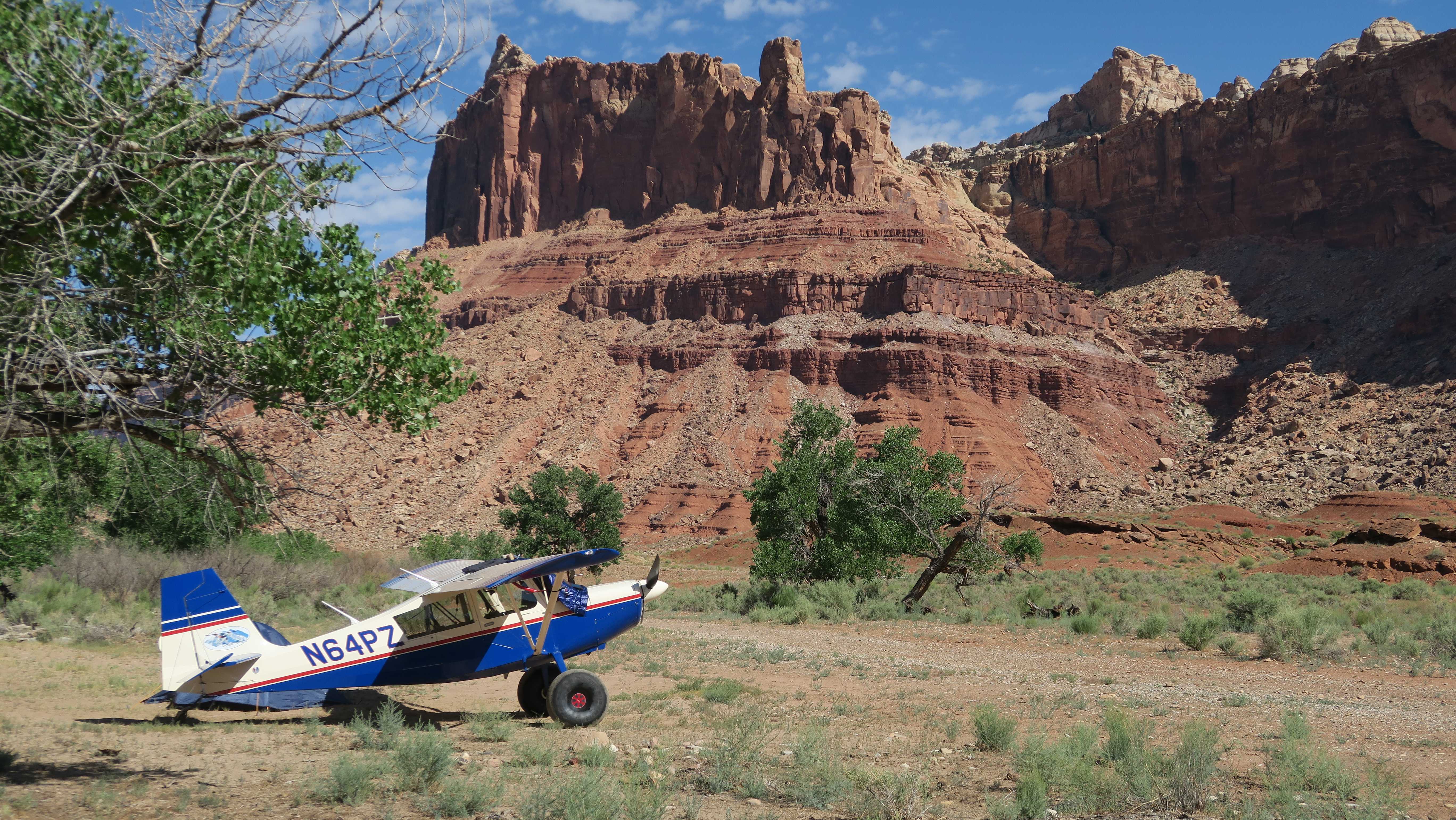
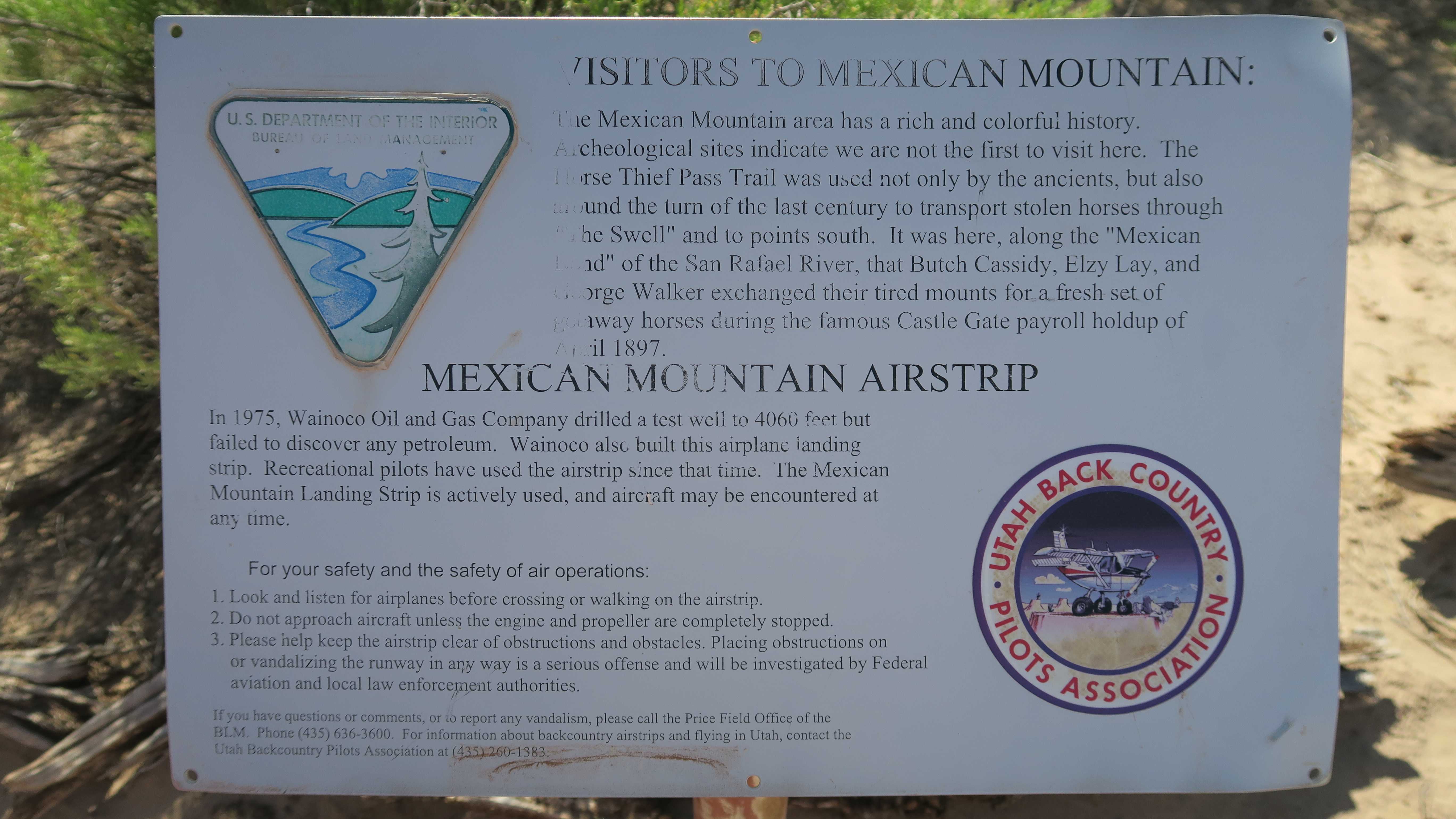
Description: Mexican Mountain's runway is oriented west/east alongside the San Rafael River inside the Mexican Mountain Wilderness Study Area. Due to the sensitive nature of the location, pilots are requested to adhere to the UBCP's Code of Conduct to help us maintain our strong working agreements with the BLM. Reminder to all pilots this airstrip exists within a Wilderness Study Area. Motorized or wheeled conveyances are not to be used on the airstrip or surrounding areas.
Runway: 1900 ft long x 40 ft wide dirt runway in good condition. Slopes uphill slightly to the west. First 500' from the east is soft and has a "dark spot" that appears wet throughout the year.
Approach Considerations: Tall trees (30+ ft) on both sides of the runway present a hazard when landing to the east (downhill). Typically land to the west and depart to the east.
Amenities: Campgrounds and fire rings (please use already established camping\/parking areas and fire rings).
Windsock: Yes, located east of the runway.
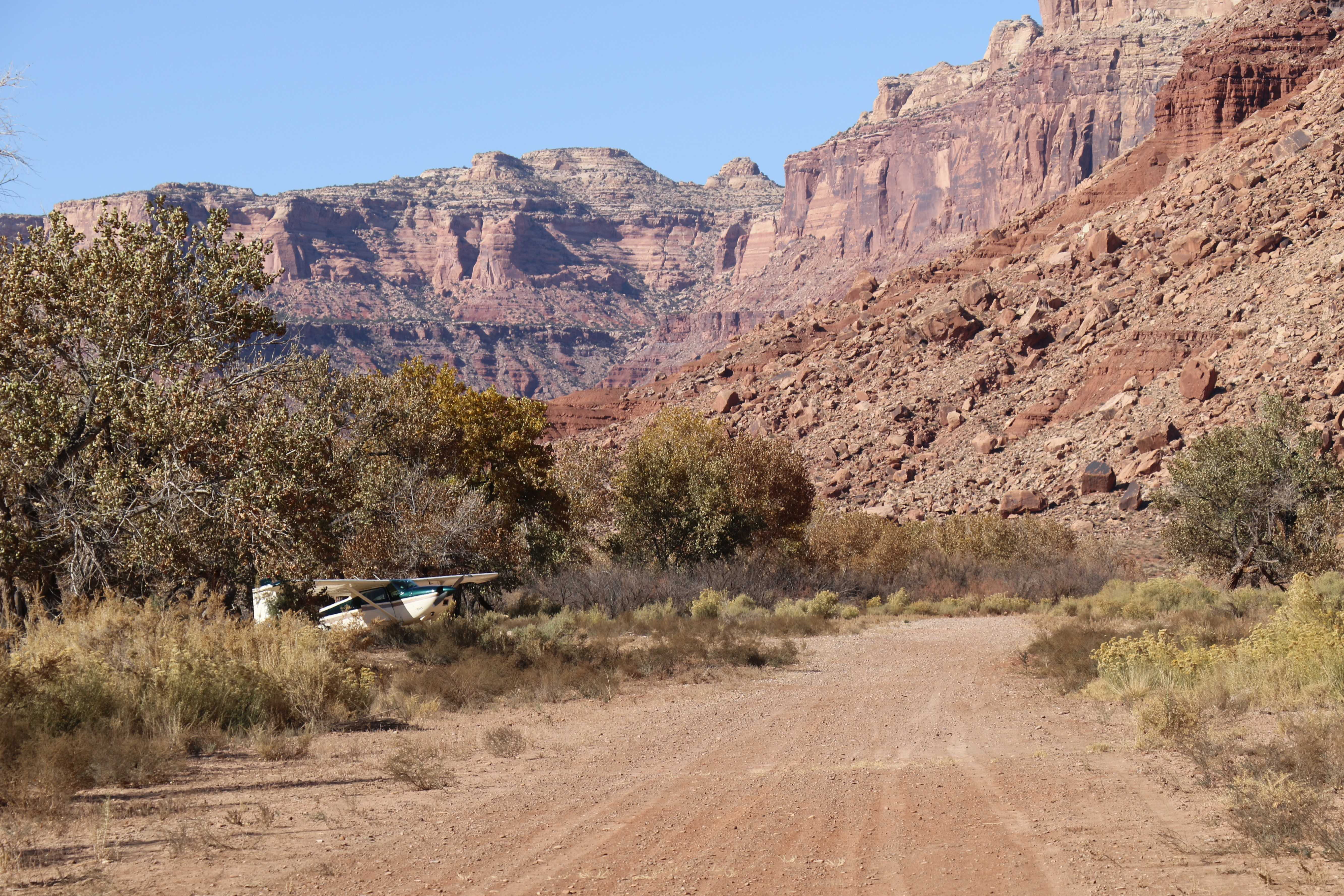
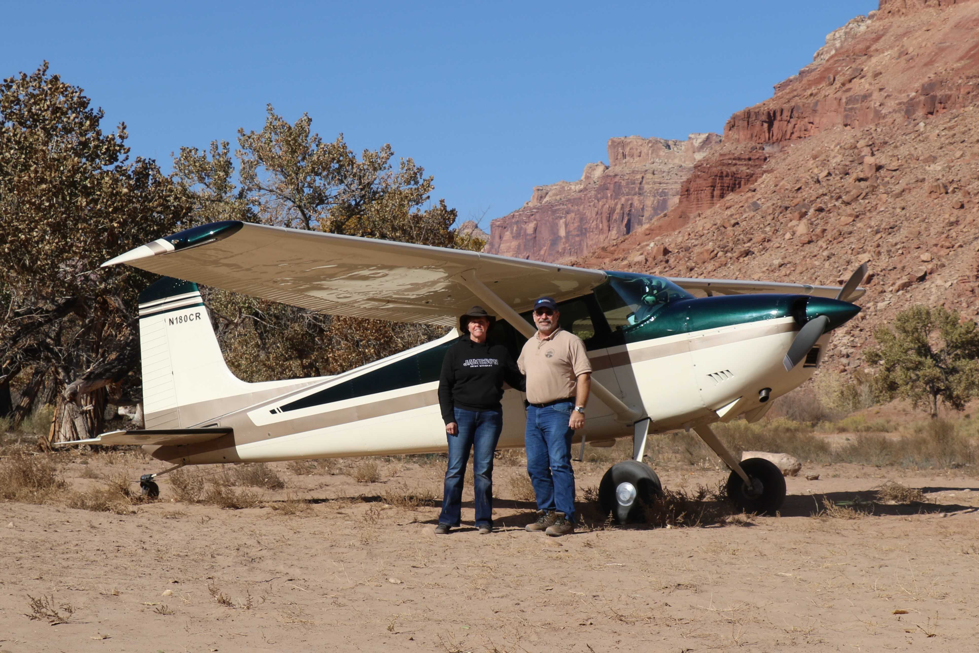
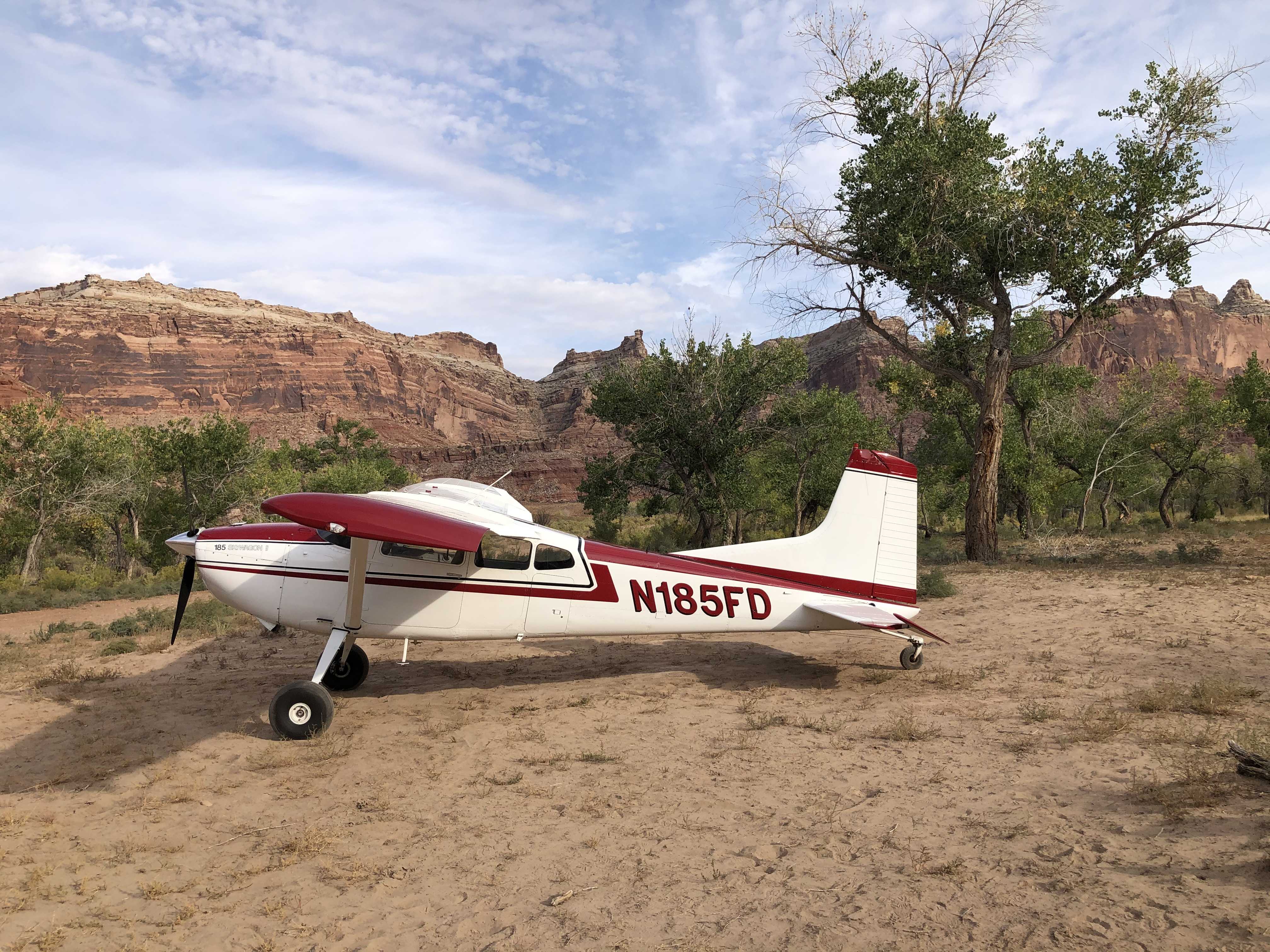
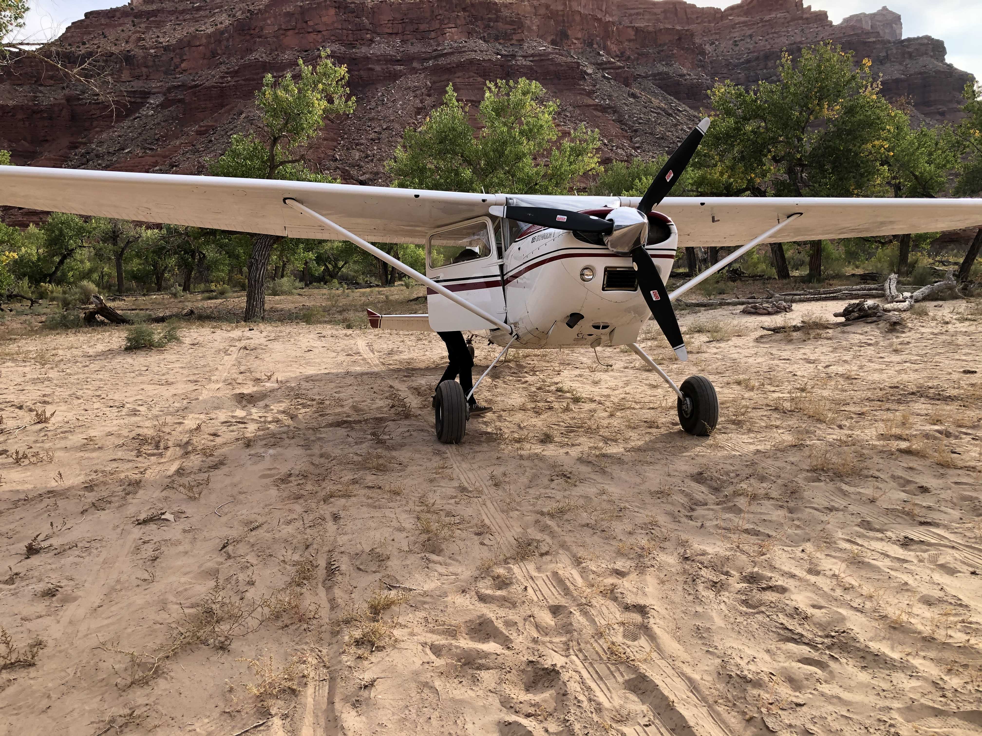
Runway width about 20ft (wheel area) with shrubs cleared a good 50+ ft. (wing area). Landed E to W (nicer approach). Departed W to E (lower trees/terrane). Cows seem to visit often...they leave their mark. Overall nice strip and great place to camp. Easier stream access just east of the east end of the runway. Bring bug spray and hiking boots. Had to pick up trash left behind (I always bring a large trash bag-some just have trouble packing their junk out). Beautiful scenery, enjoyed our visit.
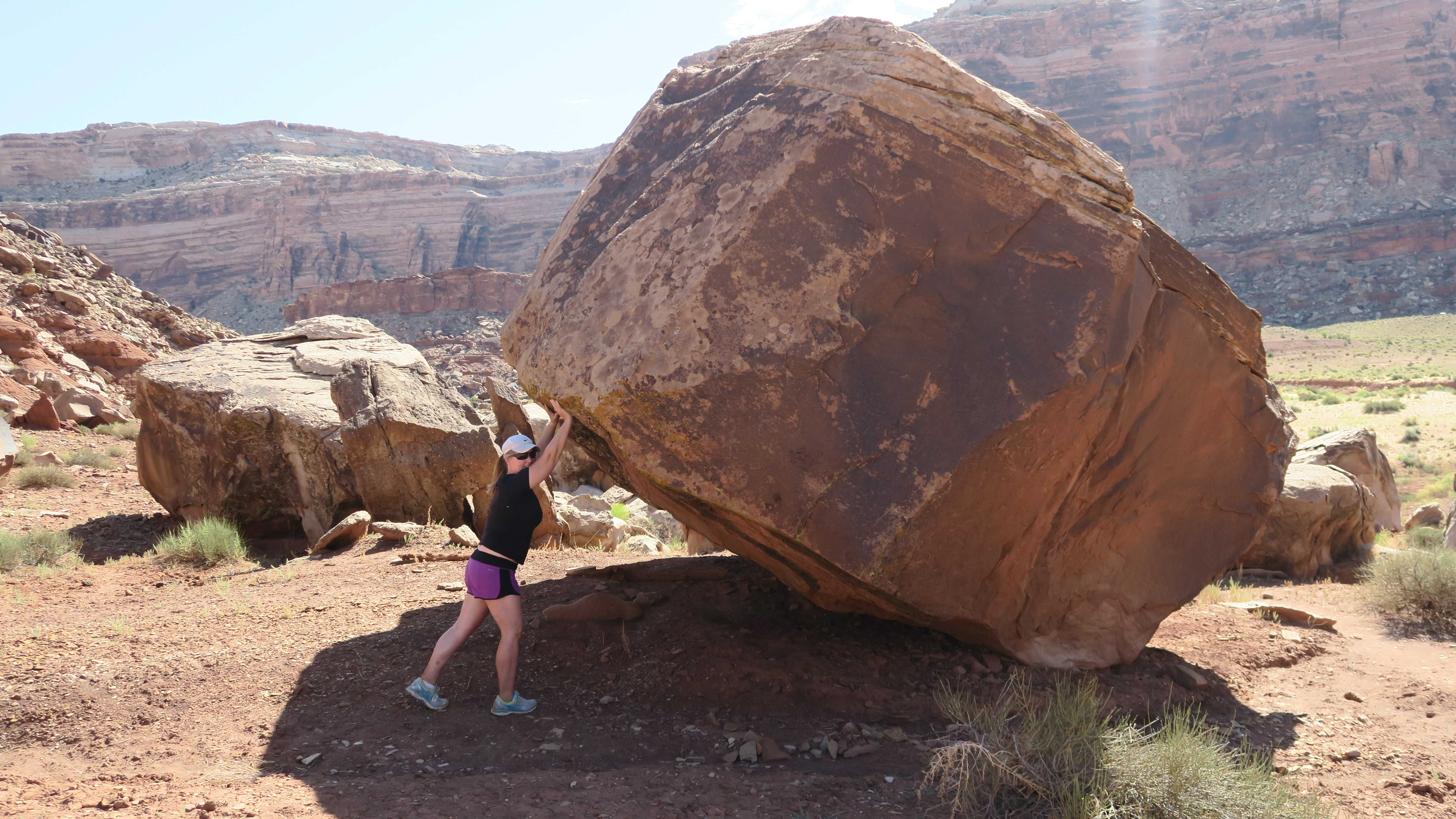
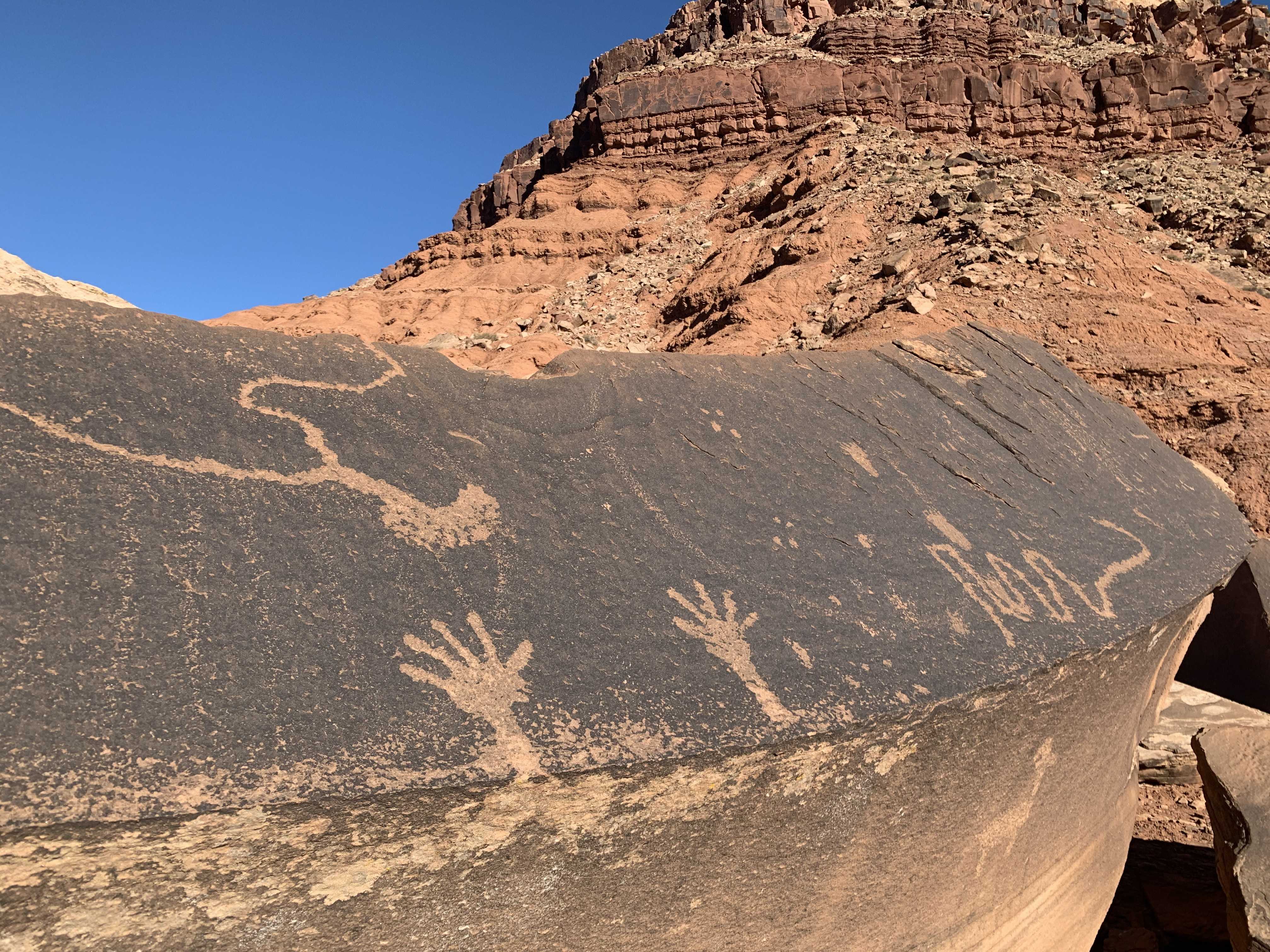
An 18 mile loop featuring spectacular views of the Mexican Mountain Wilderness Study Area (WSA). You'll want a GPS and track to help navigate route finding, including locating down climbs that will be required.
https://www.alltrails.com/explore/trail/us/utah/san-rafael-river
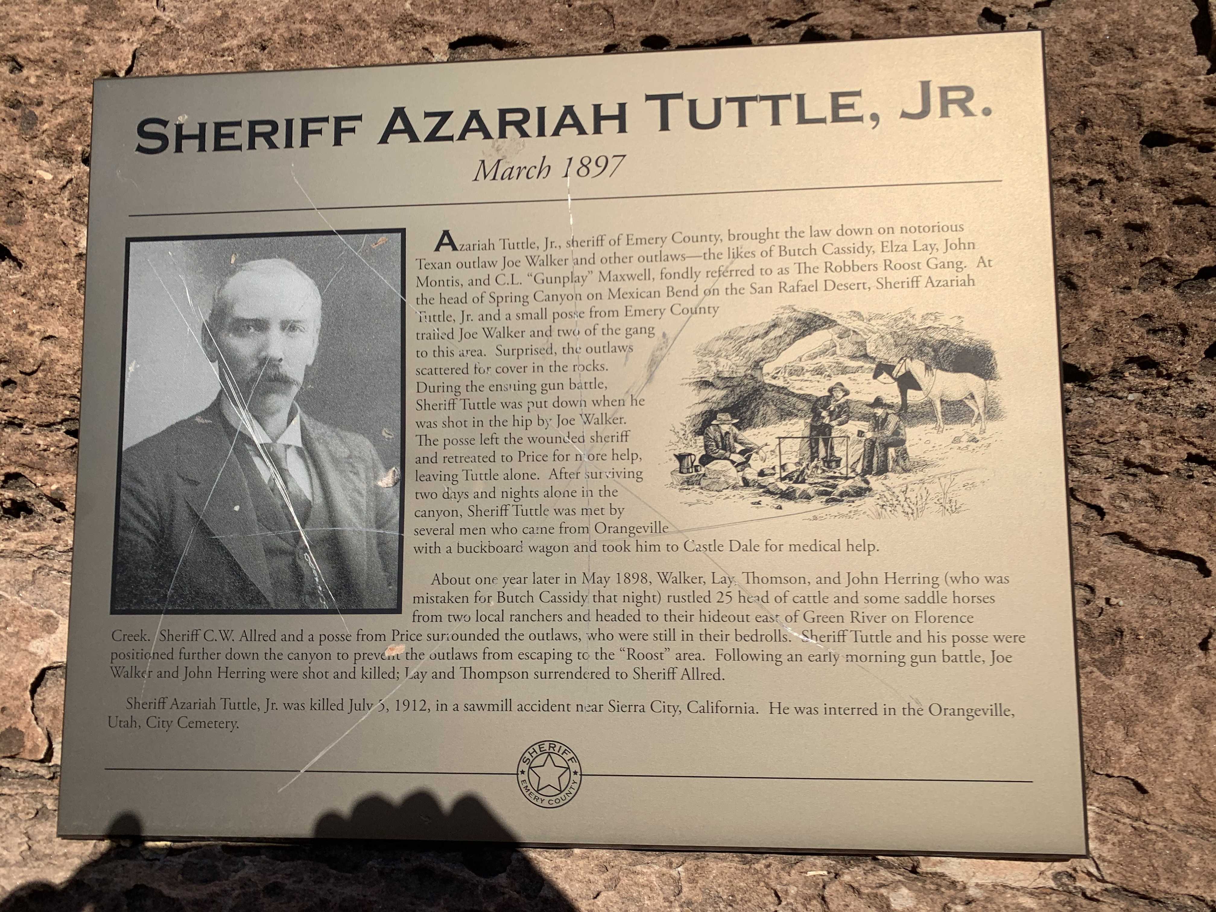
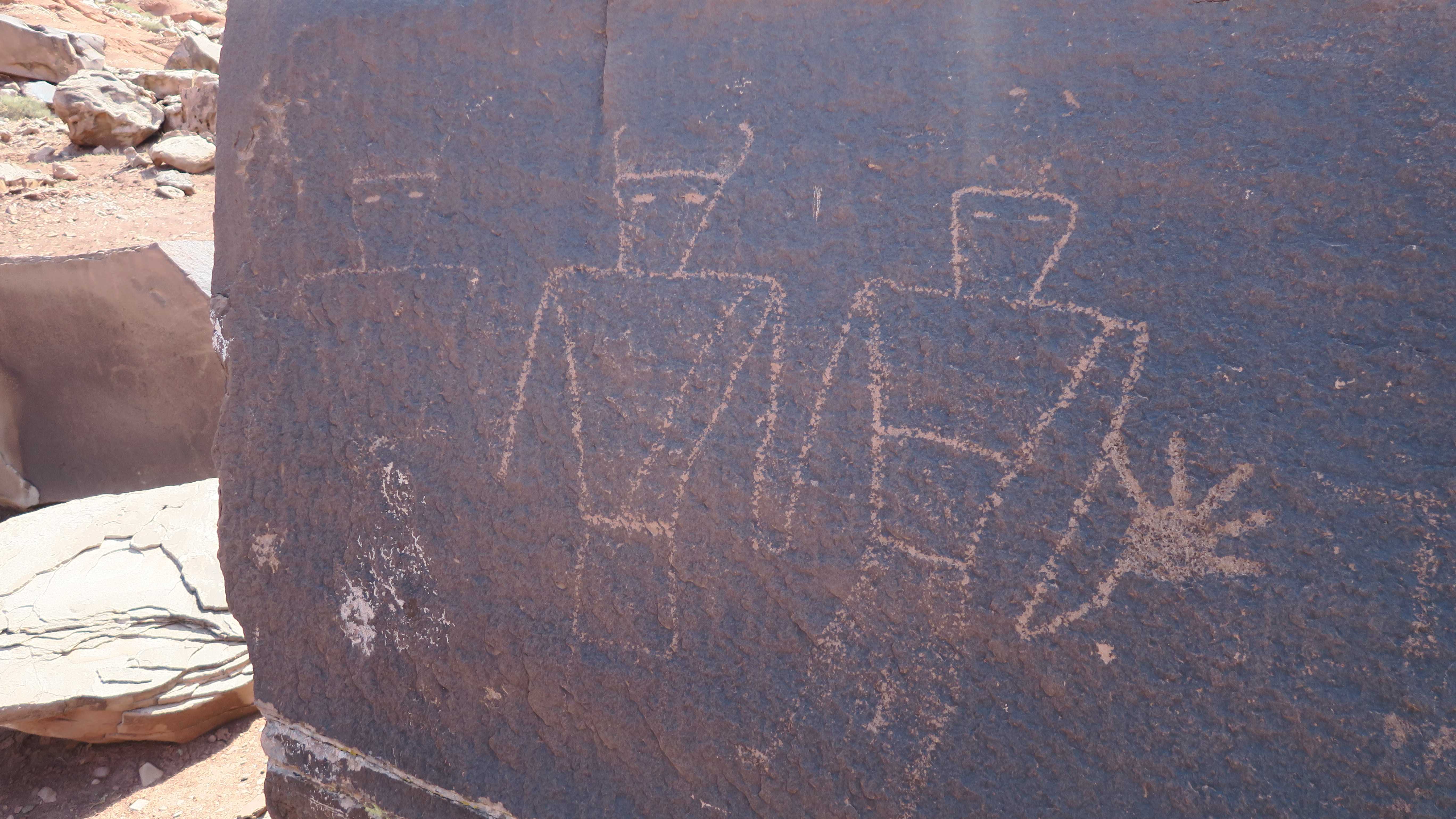
Historical marker for Sheriff Azariah Tuttle, Jr. From the plaque: Azariah Tuttle, Jr., sheriff of Emery County, brought the law down on notorious Texan outlaw Joe Walker and other outlaws--the likes of Butch Casidy, Elza Lay, John Montis, and C.L. Gunplay Maxwell"
We haven't written a history for this airstrip yet. If you would like to provide us with some information about this strip, please contact us today!