Airstrip Info
| Frequency | 122.90 |
|---|---|
| Elevation | 4461 ft |
| Lat/Long |
39.0188, -110.4504 39° 1.128' , -110° 27.024' |
| Runway 11/29 |
1900 ft
x 40 ft
Dirt |
| Ownership | BLM WSA |
Amenities
Weather
See more at the National Weather Center
Information updated April 13, 2020 @ 8:12pm
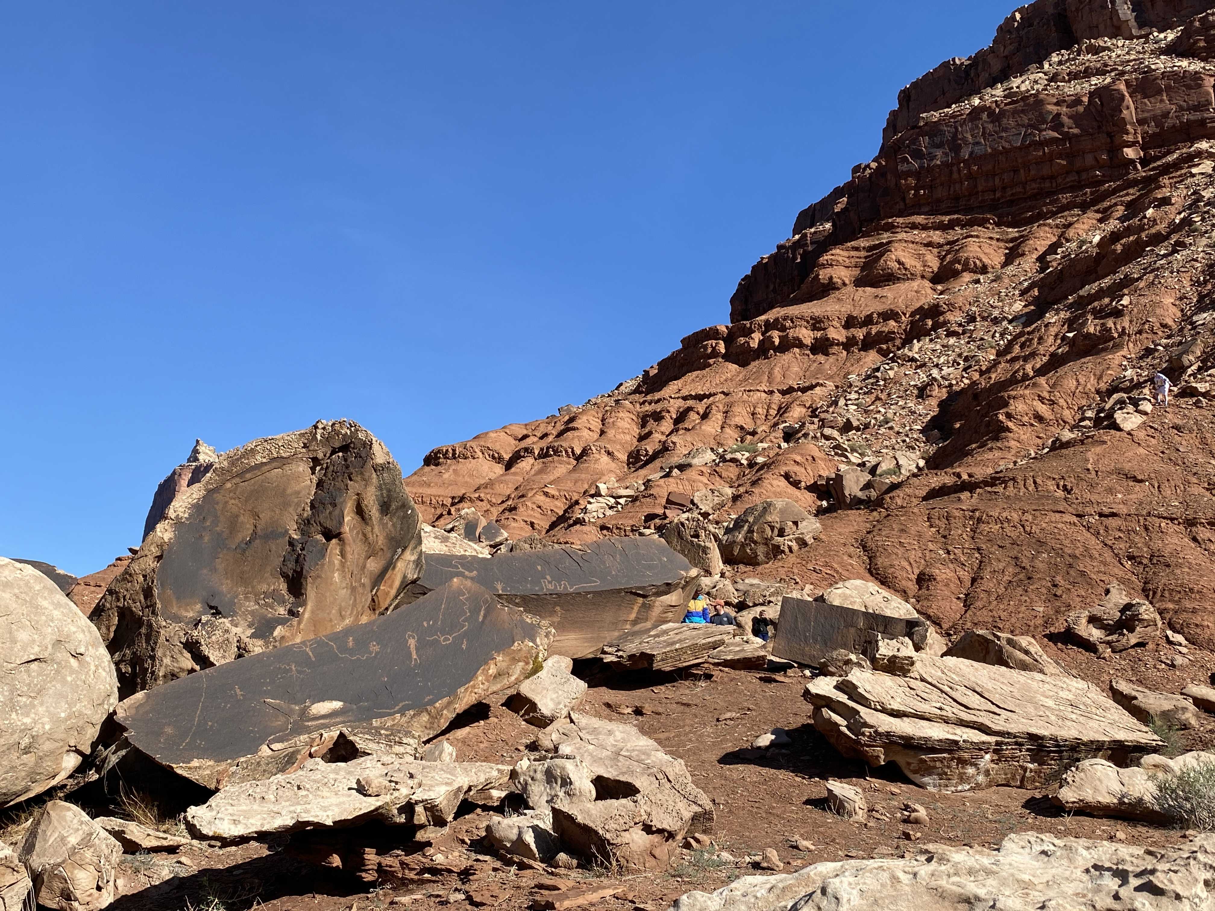
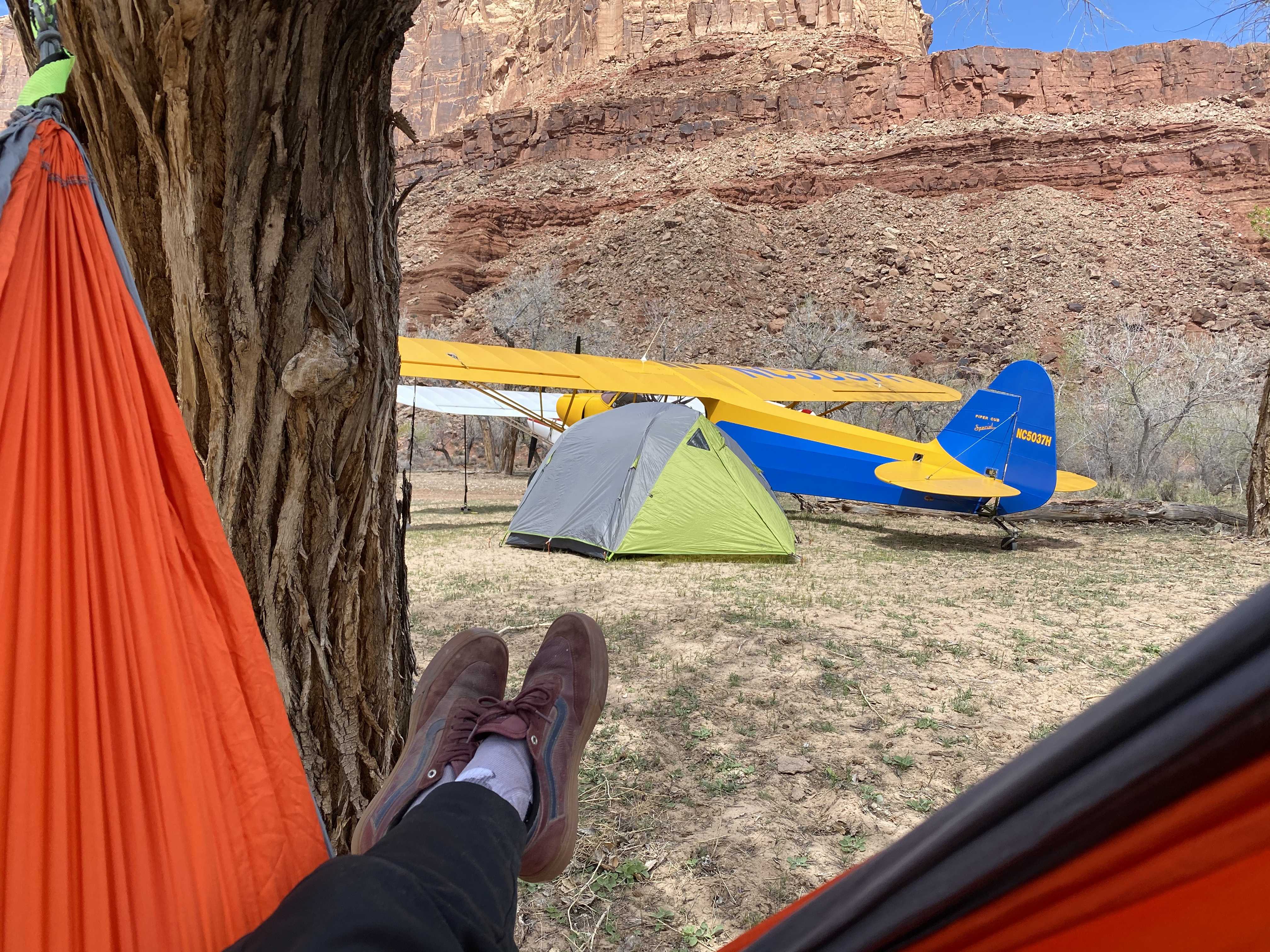
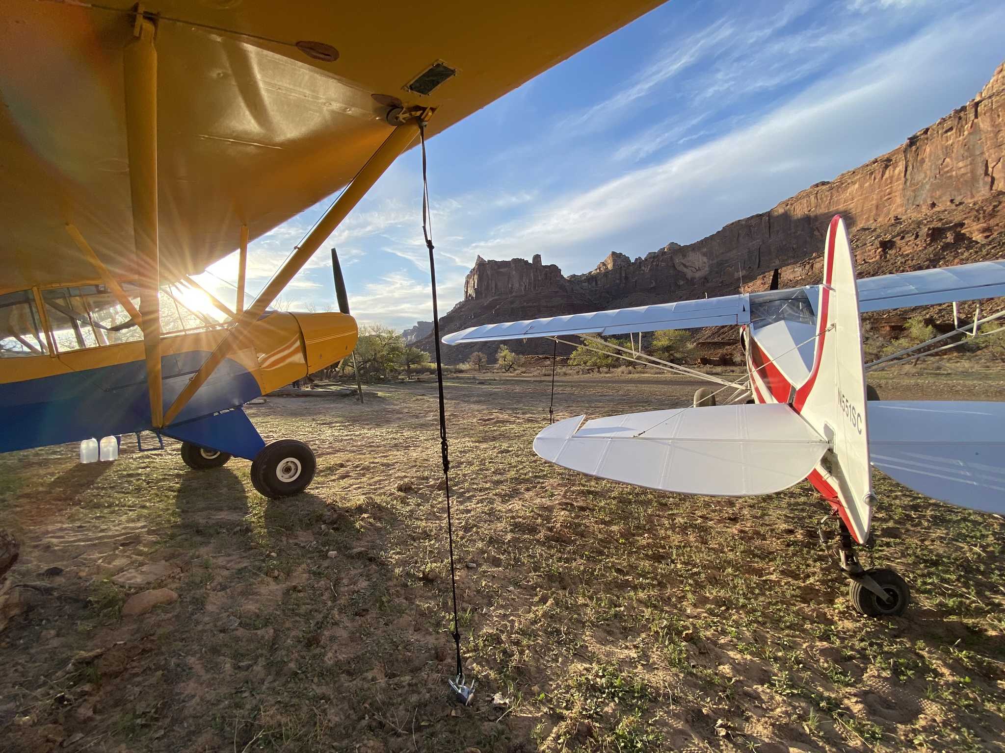
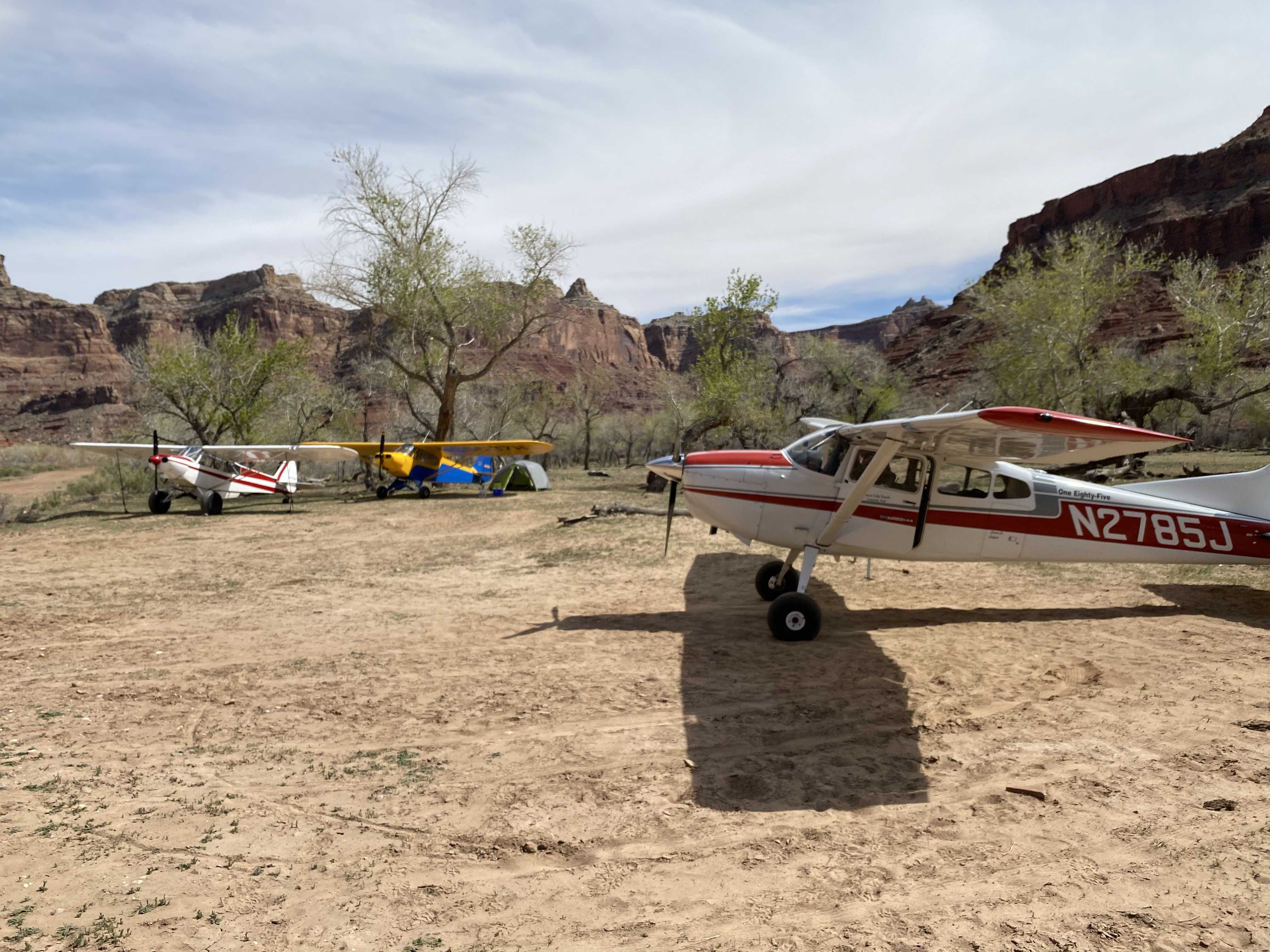
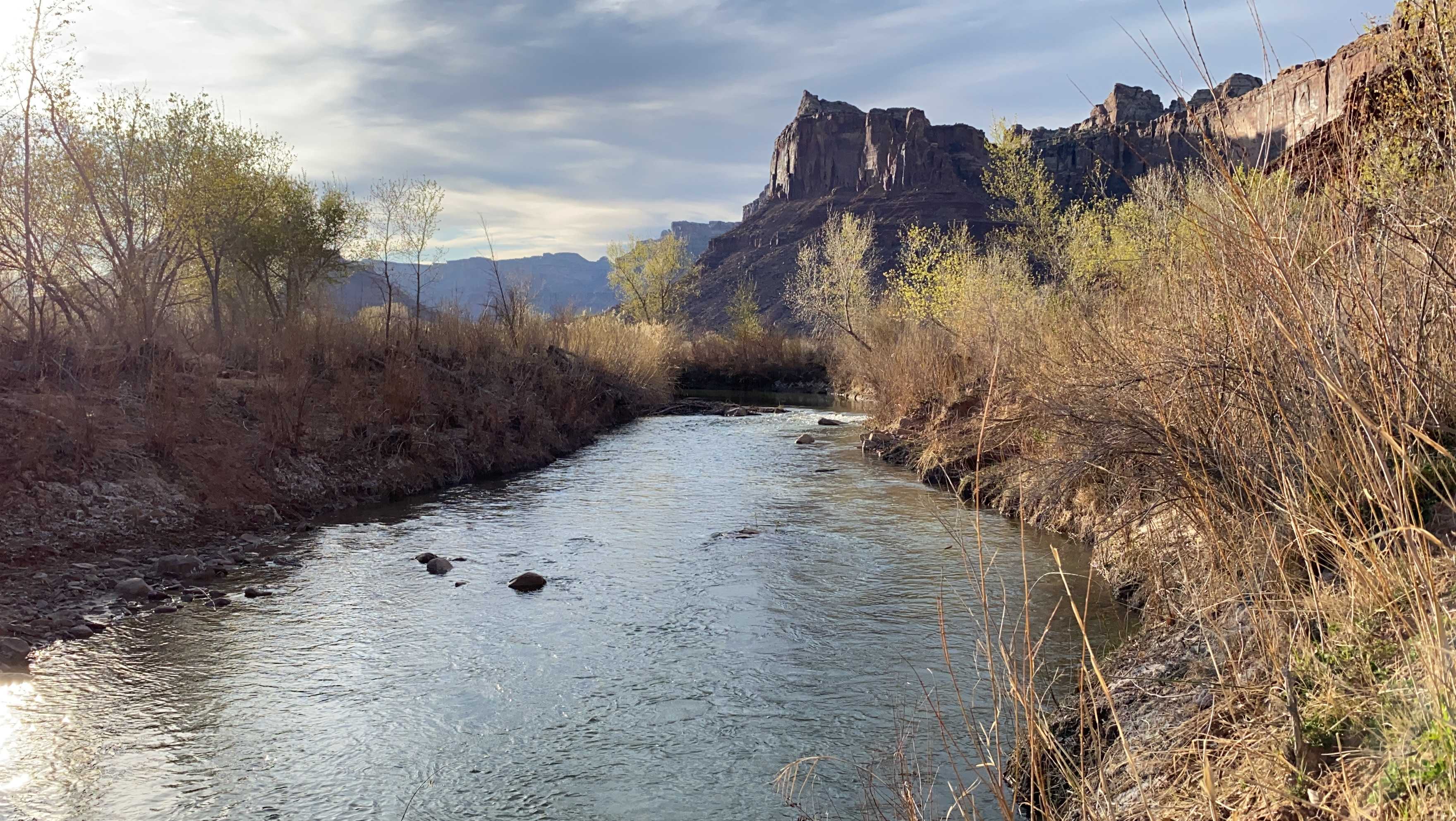
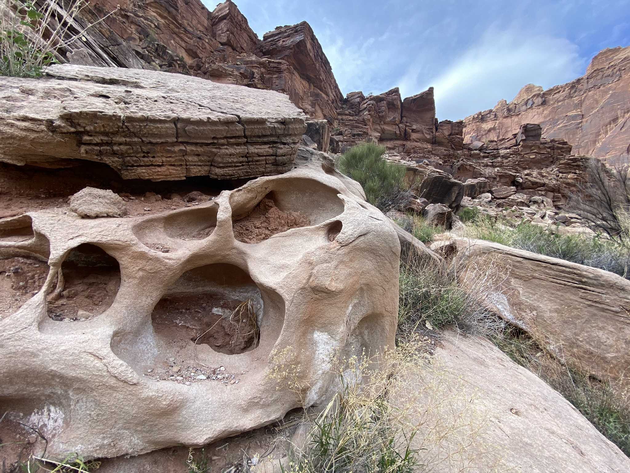
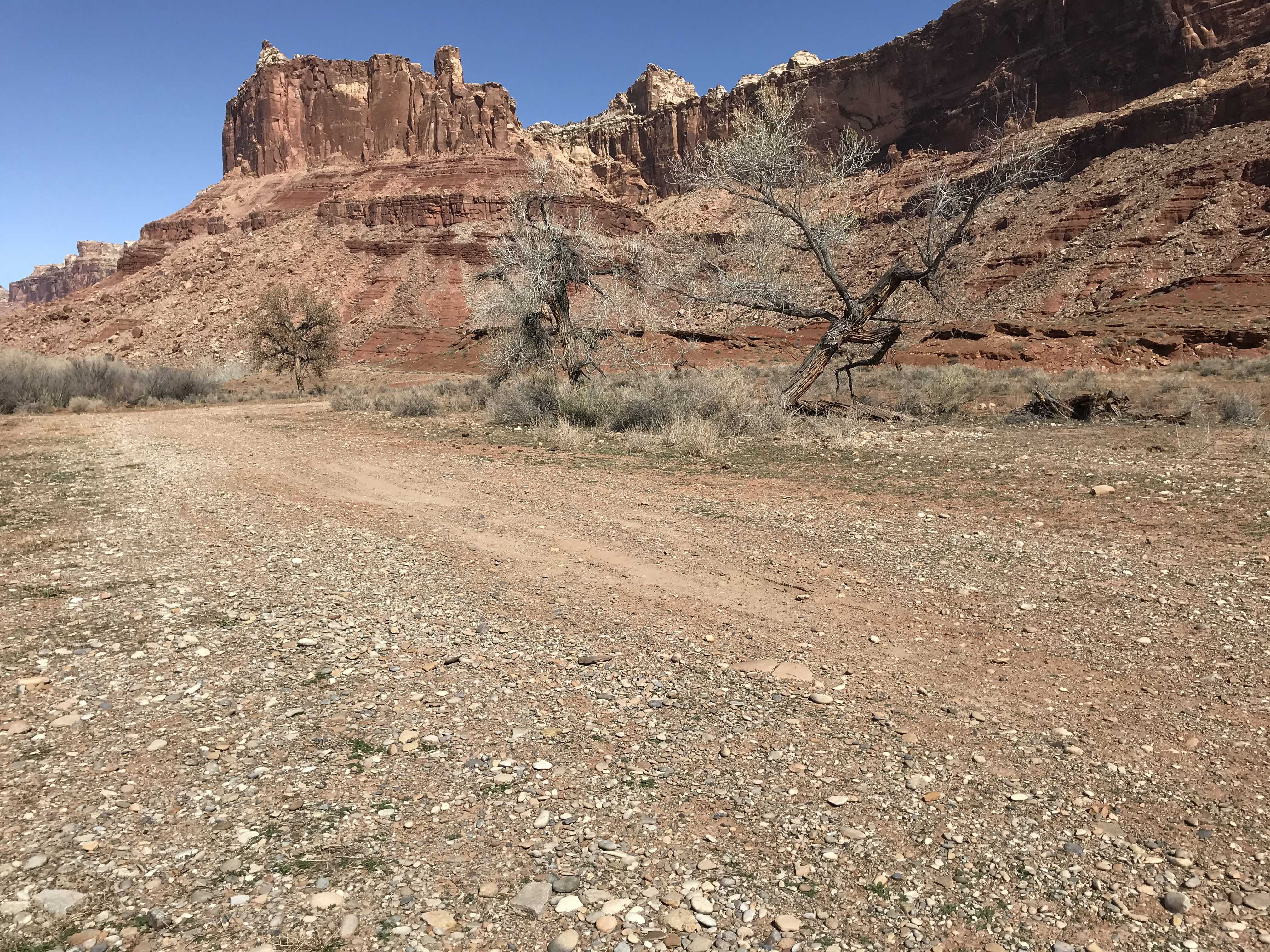
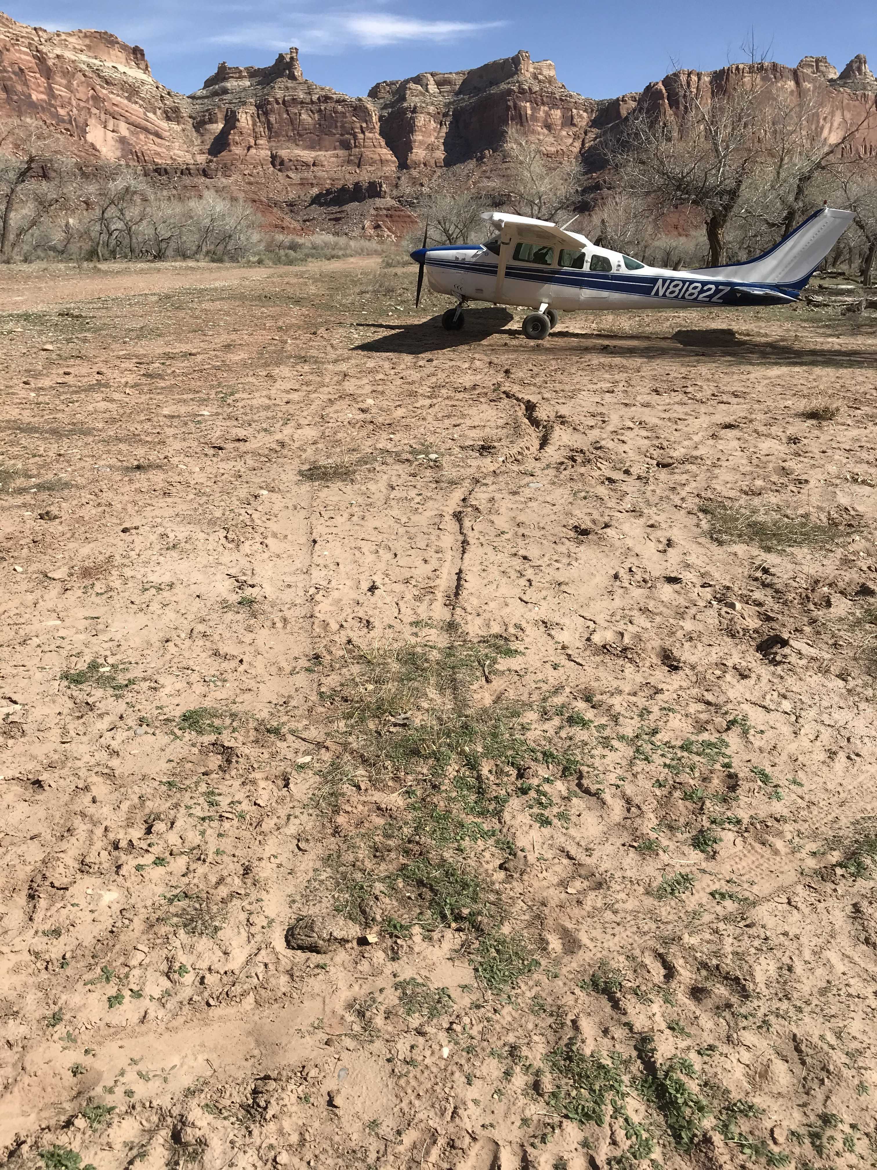
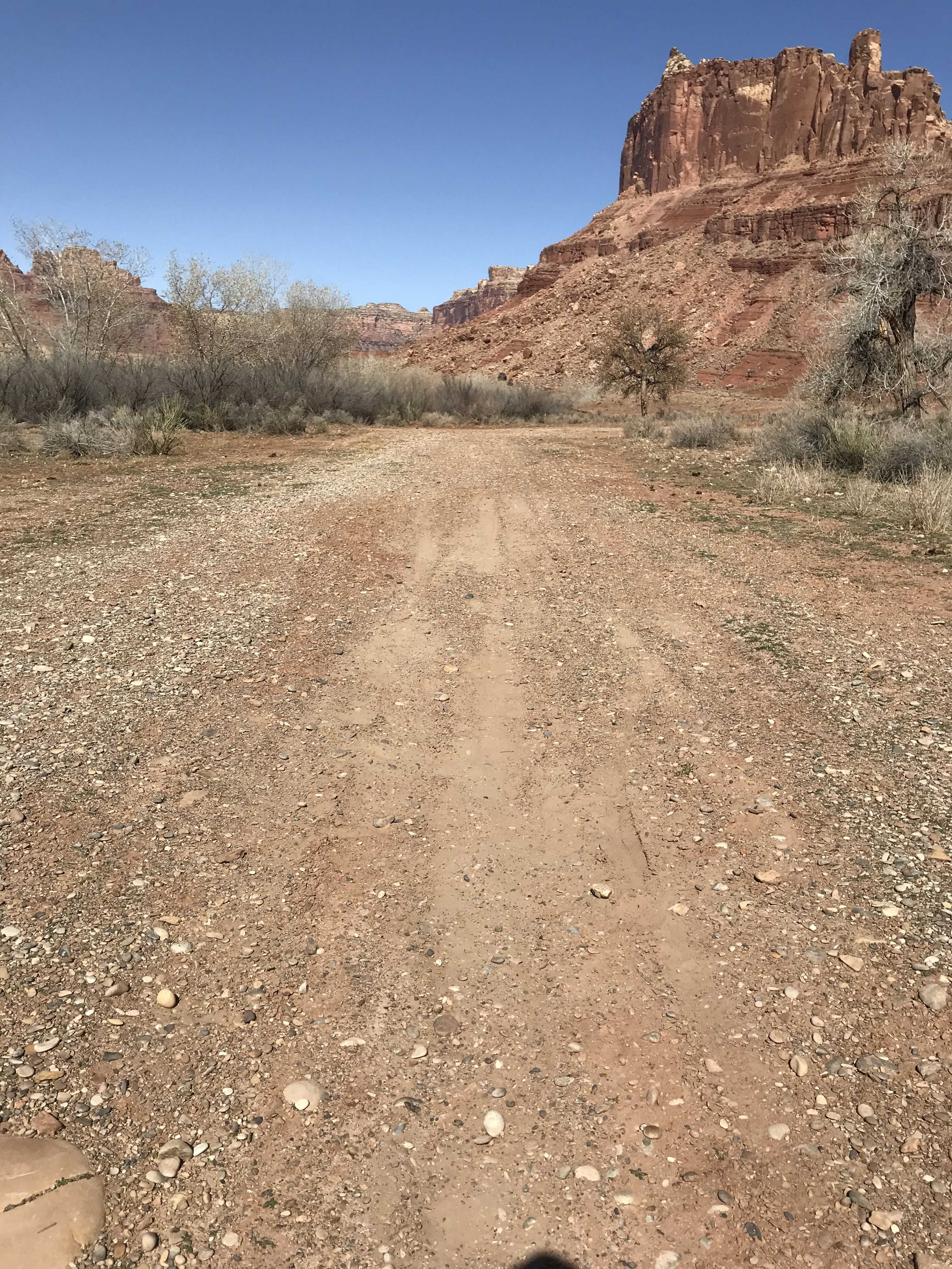
Description: Mexican Mountain's runway is oriented west/east alongside the San Rafael River inside the Mexican Mountain Wilderness Study Area. Due to the sensitive nature of the location, pilots are requested to adhere to the UBCP's Code of Conduct to help us maintain our strong working agreements with the BLM. Reminder to all pilots this airstrip exists within a Wilderness Study Area. Motorized or wheeled conveyances are not to be used on the airstrip or surrounding areas.
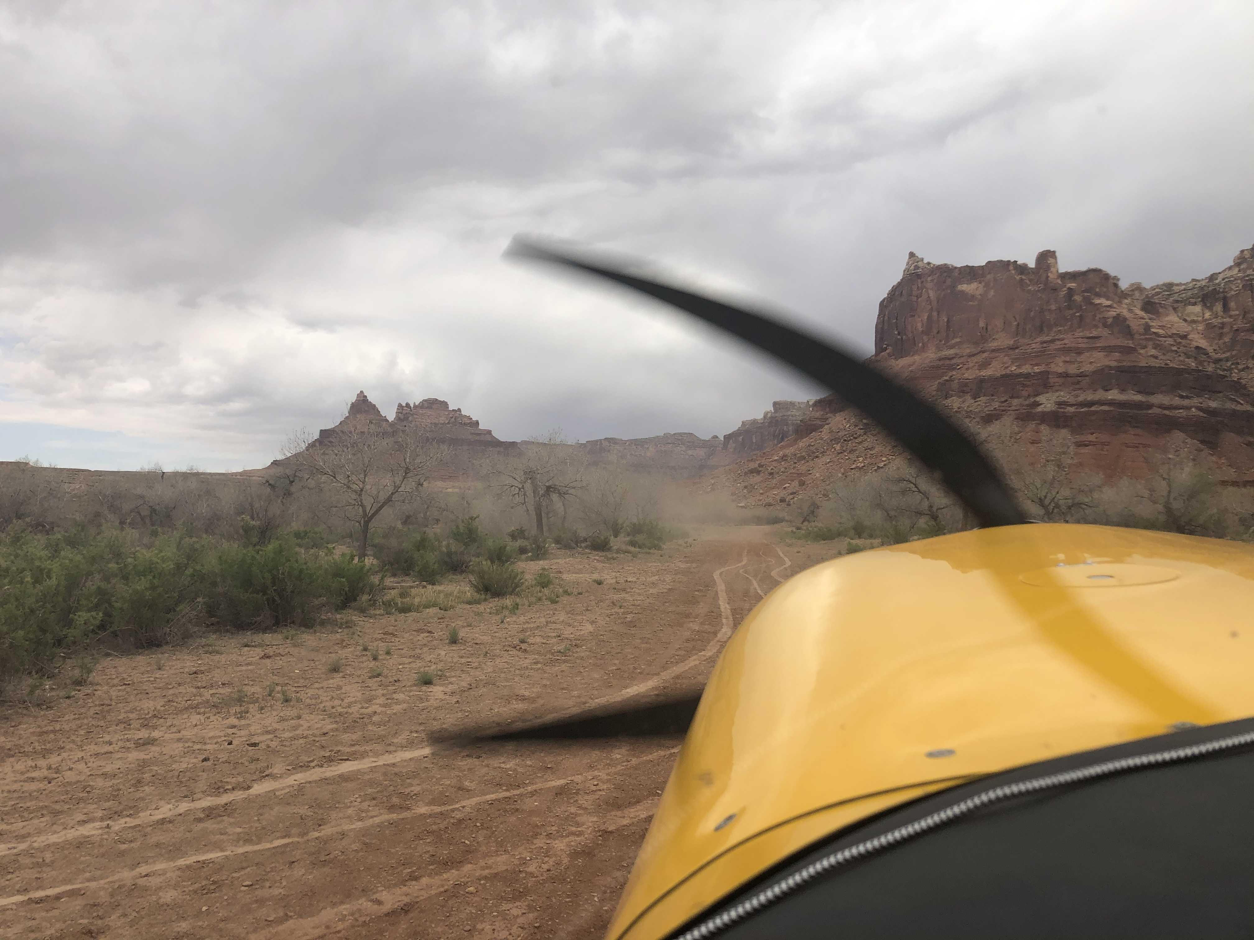
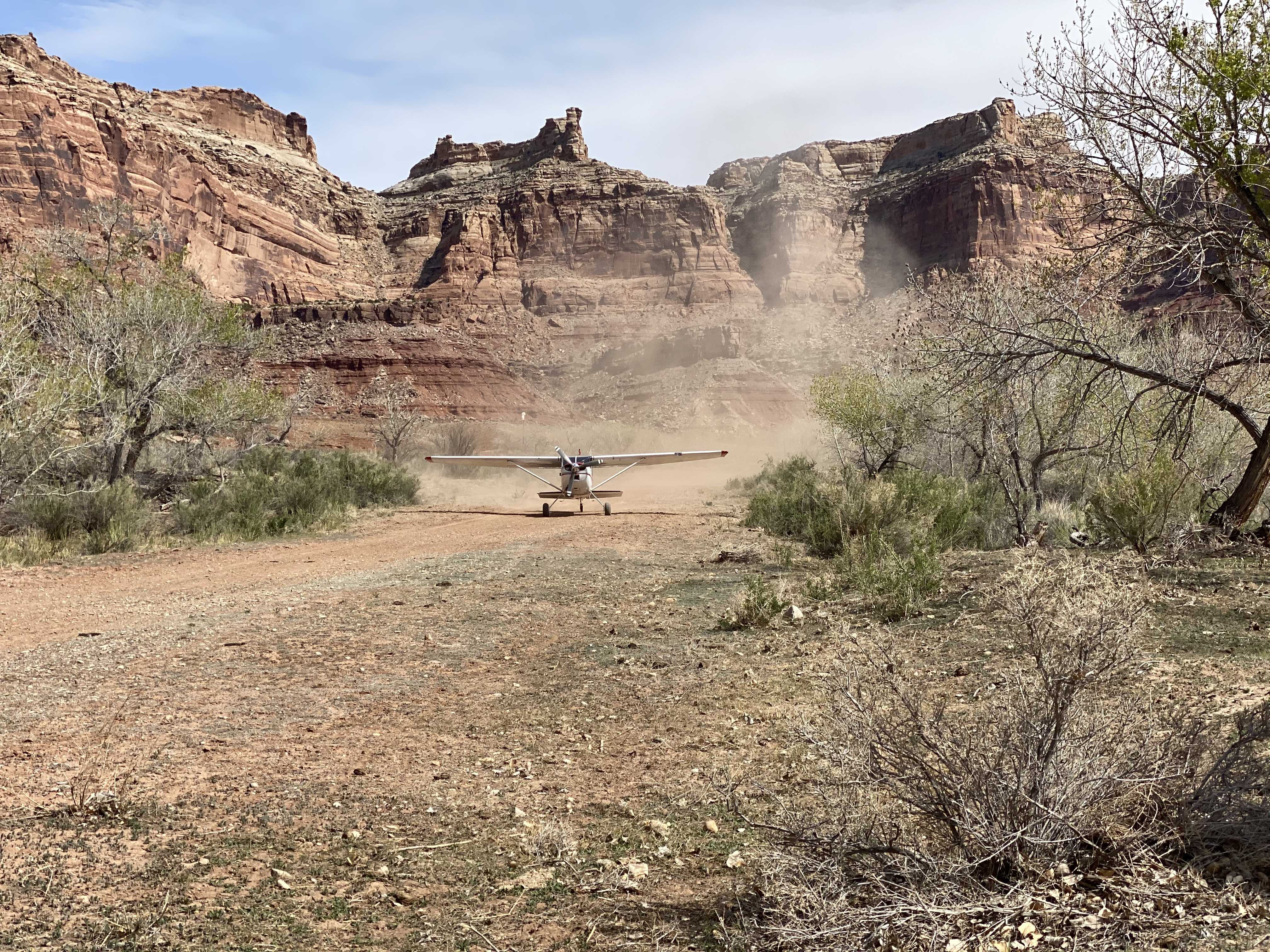
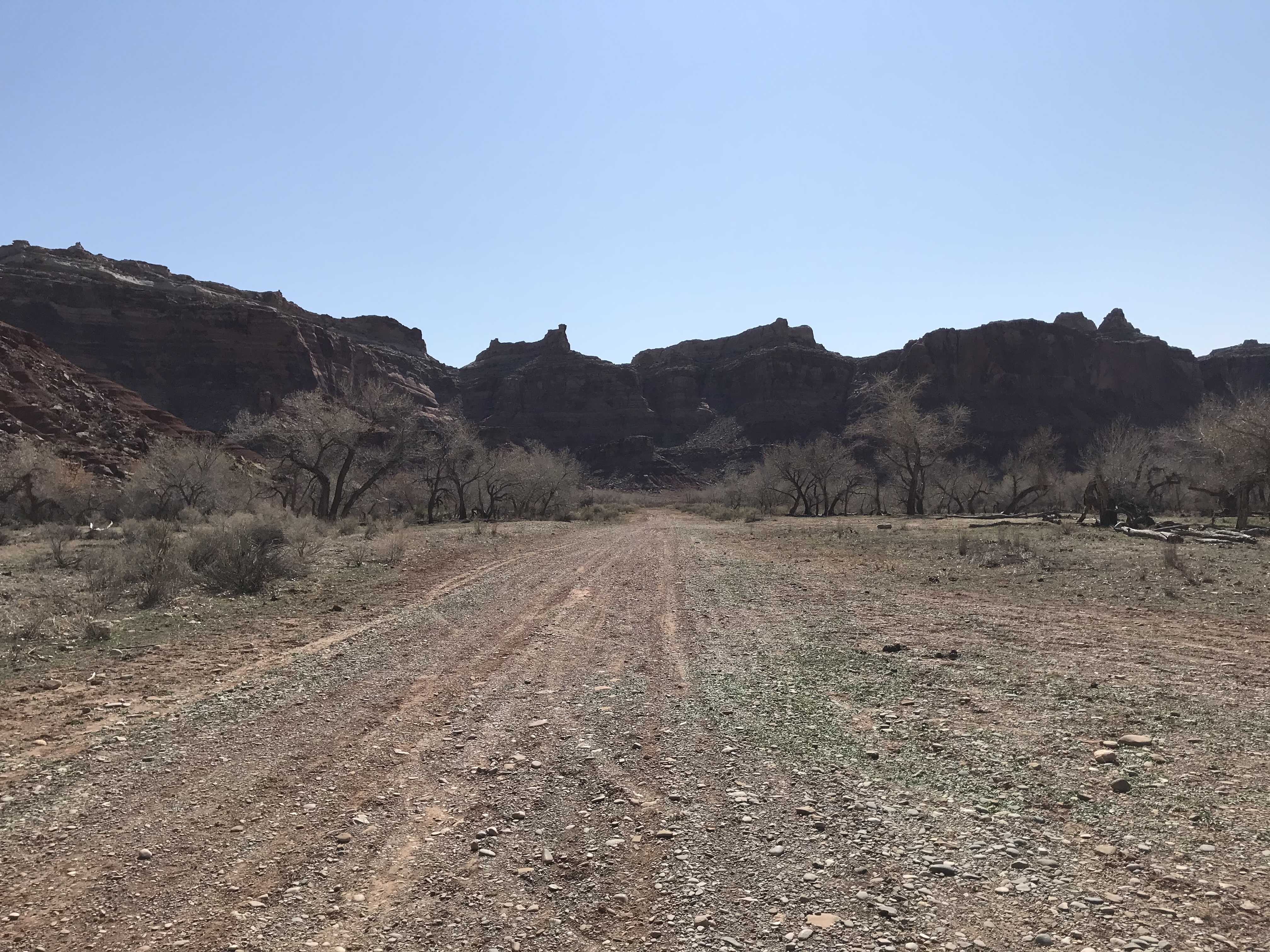
Runway: 1900 ft long x 40 ft wide dirt runway in good condition. Slopes uphill slightly to the west. First 500' from the east is soft and has a "dark spot" that appears wet throughout the year.
Approach Considerations: Tall trees (30+ ft) on both sides of the runway present a hazard when landing to the east (downhill). Typically land to the west and depart to the east.
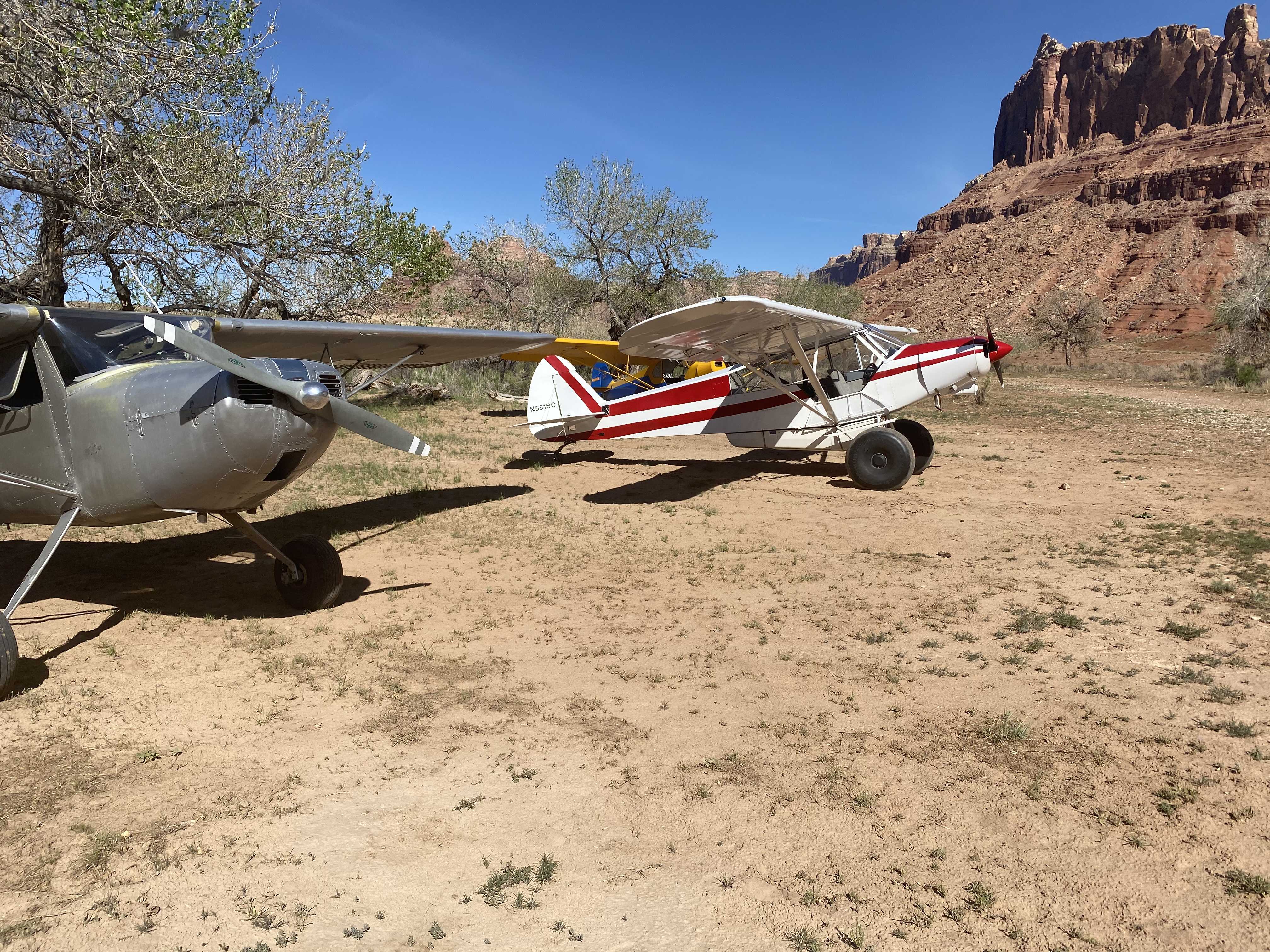
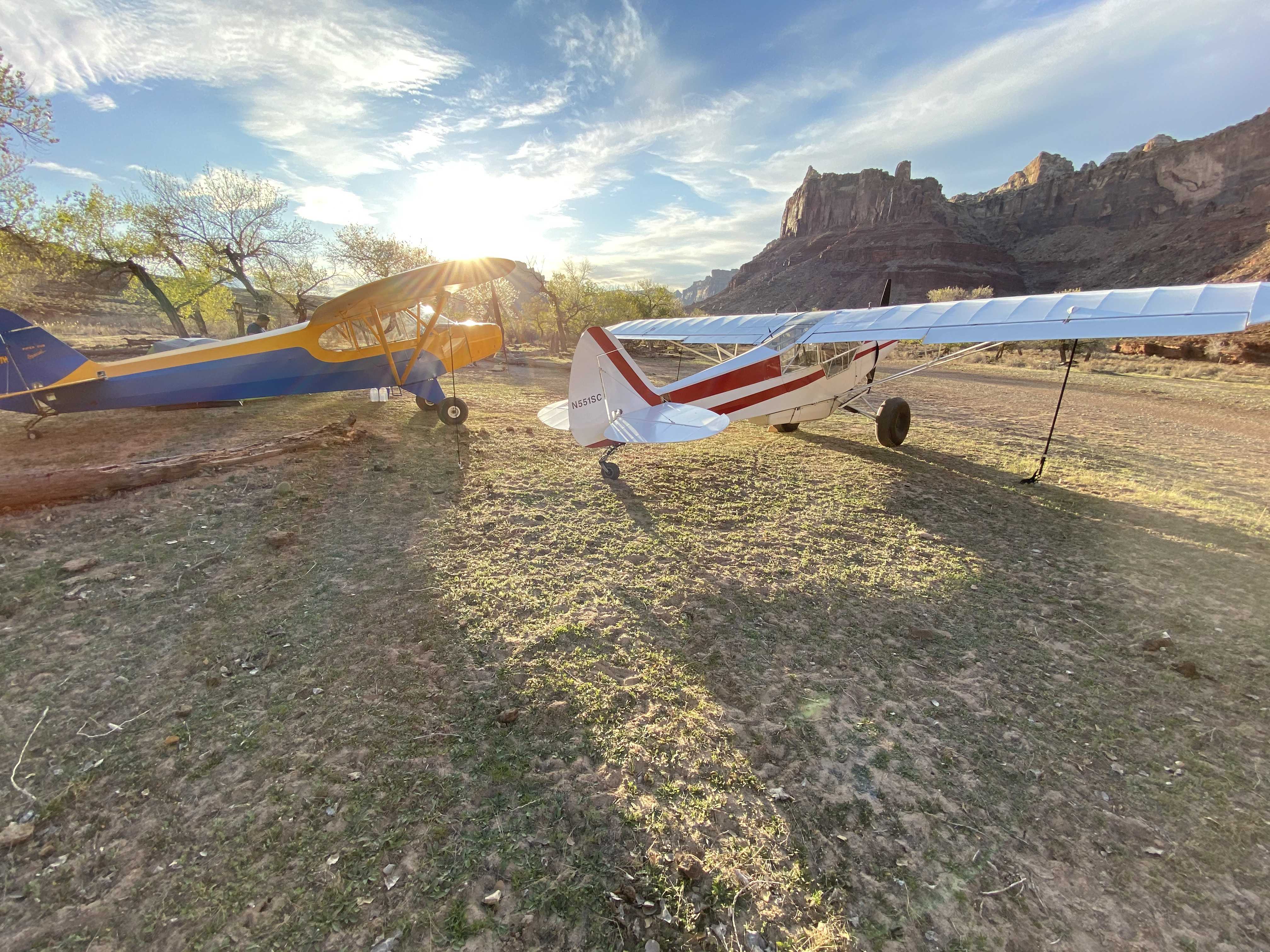
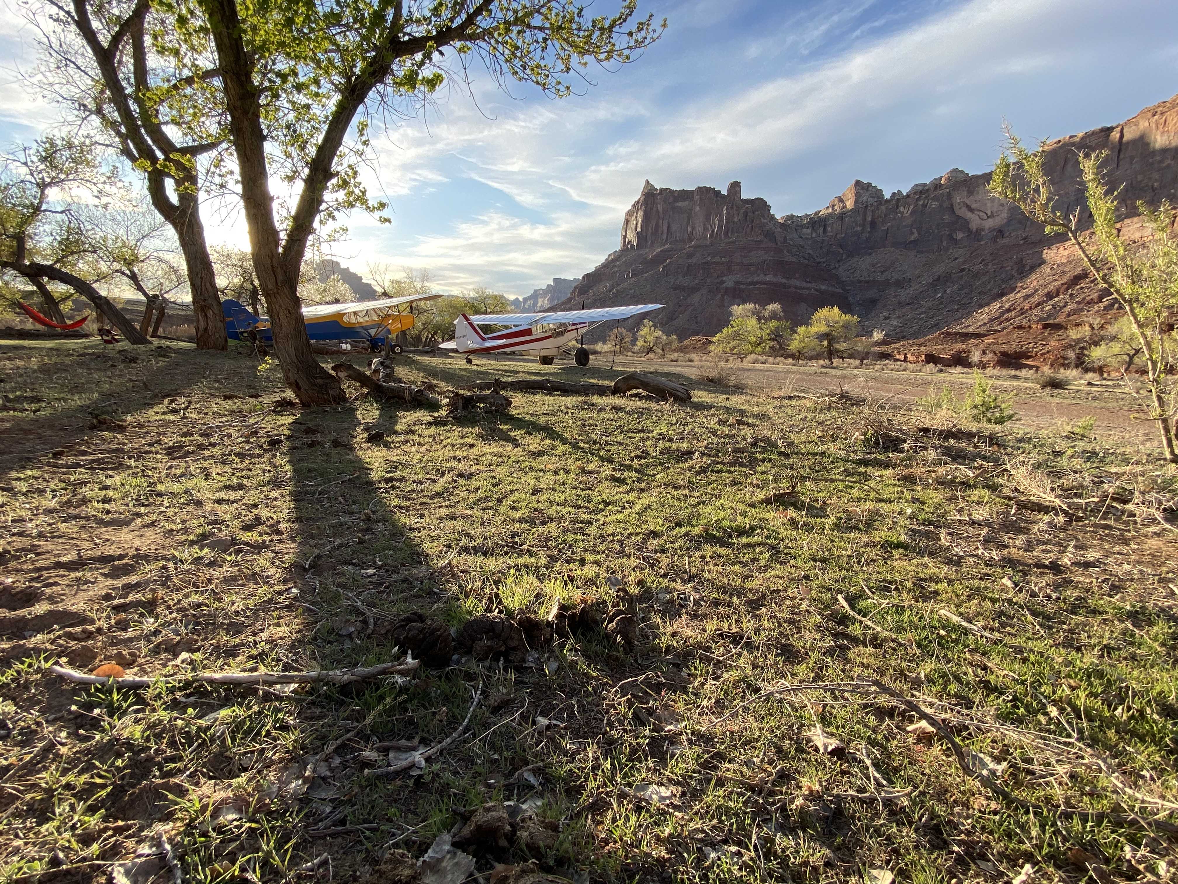
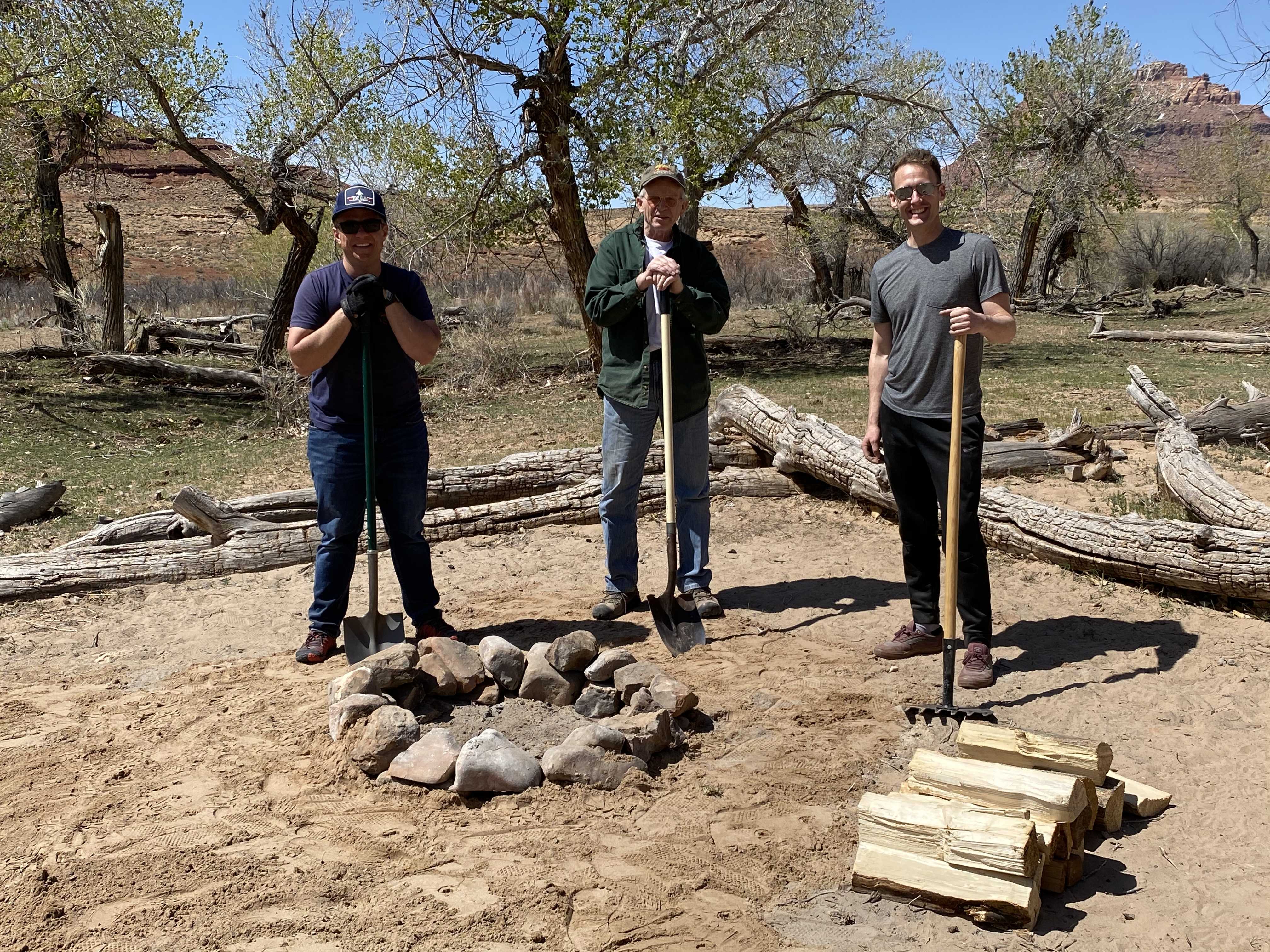
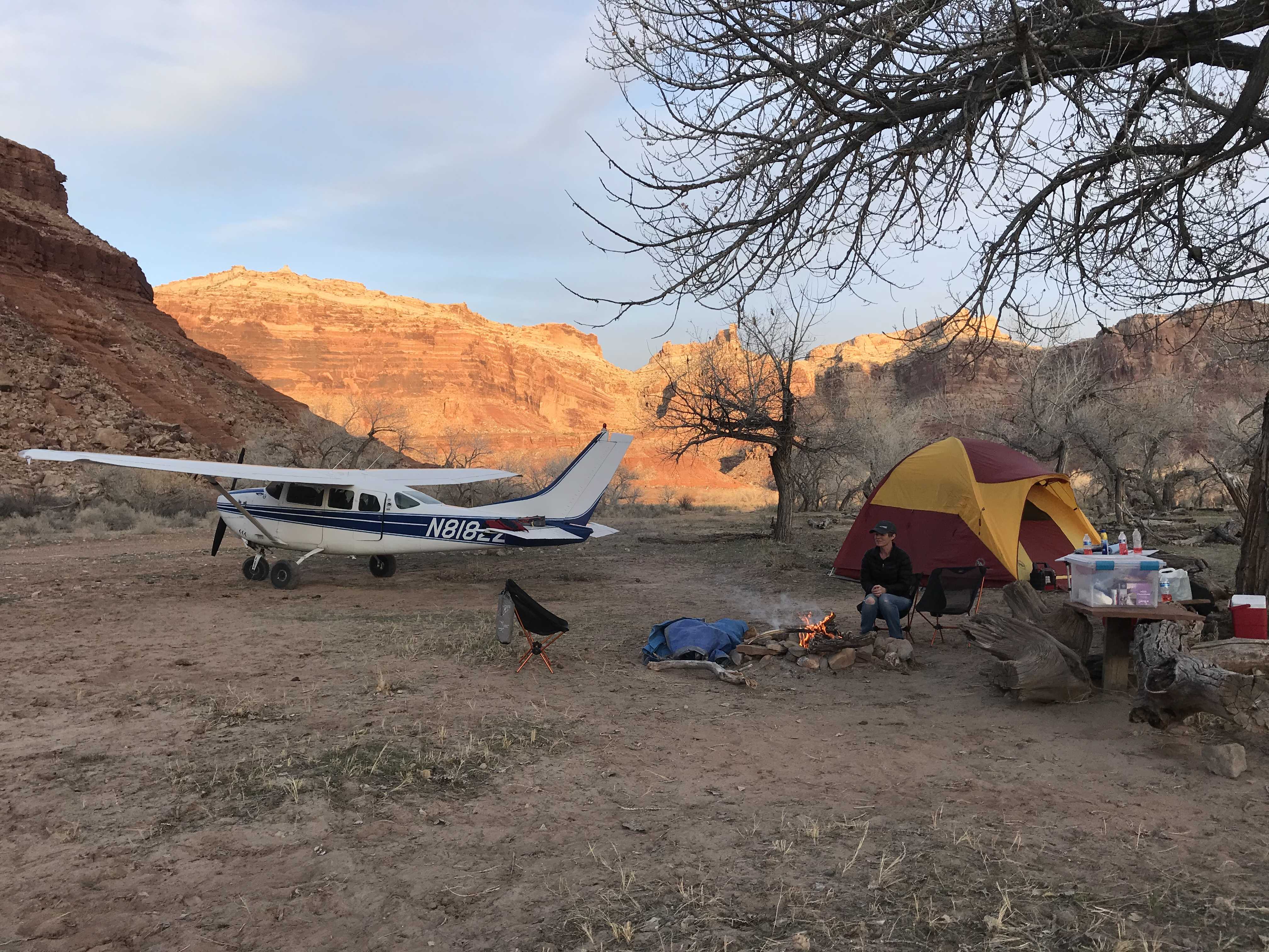
Amenities: Campgrounds and fire rings (please use already established camping\/parking areas and fire rings).
Windsock: Yes, located east of the runway.
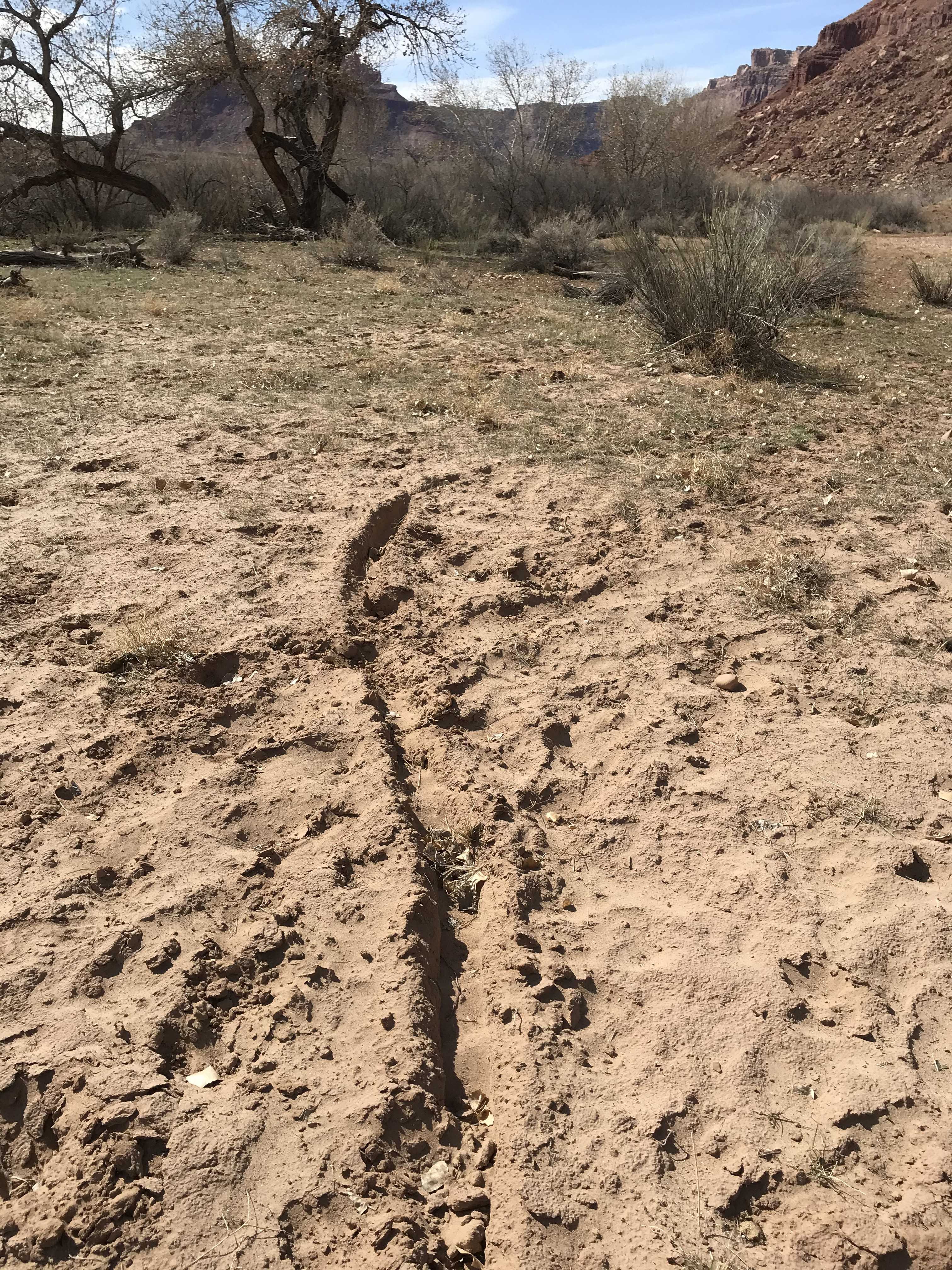
Runway in good condition although there is a low/soft spot developing near west end. Could potentially be a wet/muddy spot after a significant rain event. The entire area is being devastated by Tent Caterpillars. They were even floating down the river by the thousands... We had to move our tent to out in the open, away from being under any trees. Don’t bother bringing a hammock !!
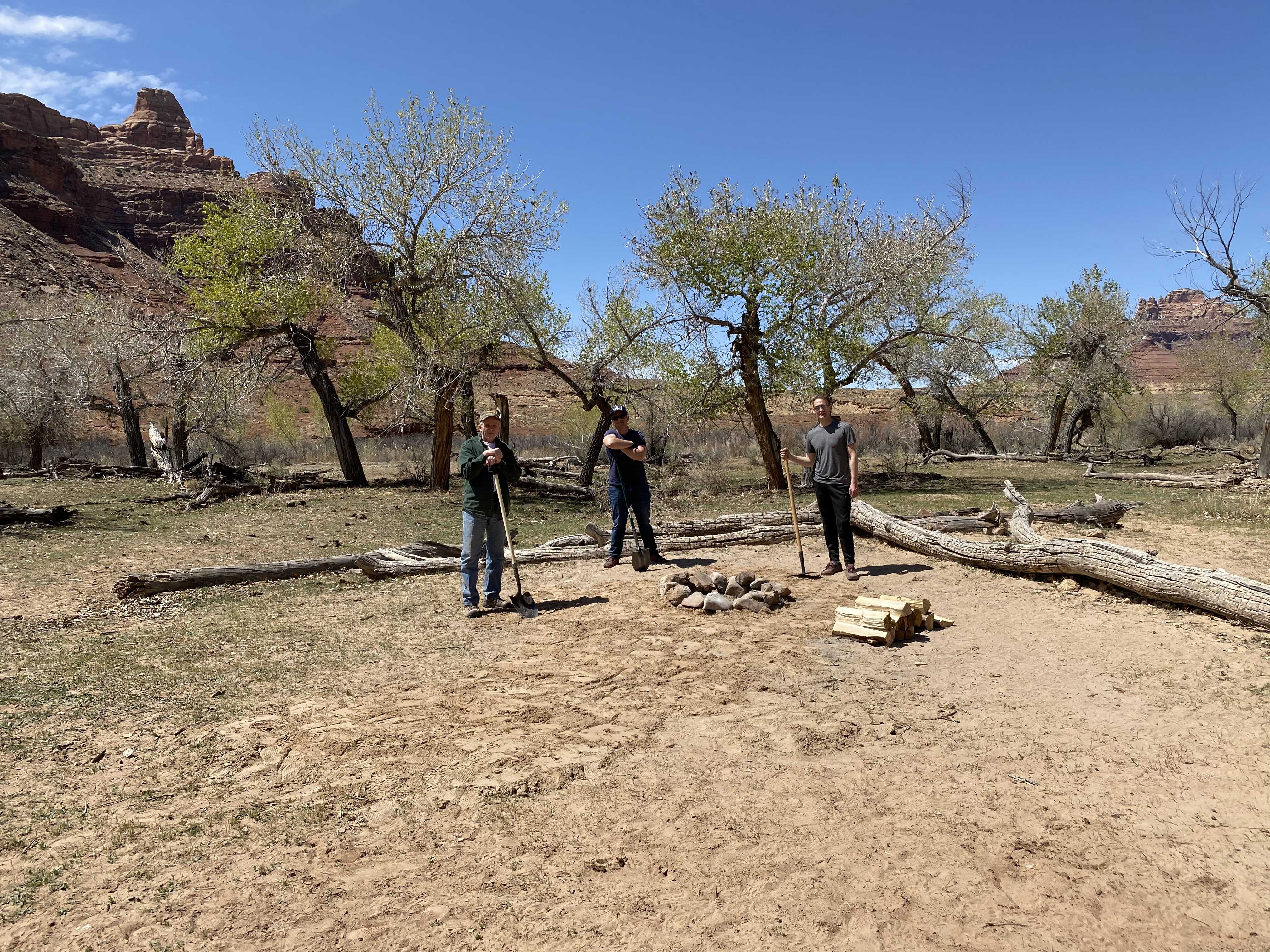
We camped here for one night. There were a lot of cattle in the west camping spot area. Like was previously mentioned, lots of cow pies in the campsites. The cattle have really torn the area up and there are a few spots on the runway that could be worked over. One small rut mid field or a little to the east of mid field and two depressions in the middle of the runway on the west end. The parking areas are firm and the campsites were in good condition. We saw signs again of someone that had ridden a mountain bike in from the trailhead. Also something that was kind of weird. The campsite someone has created across from the windsock had recent burn marks like someone was trying to clear some of the bushes. I’m thinking we need to post online and, and maybe at the site, the BLM’s rules and expectations with the use of the strip.
We haven't written a history for this airstrip yet. If you would like to provide us with some information about this strip, please contact us today!