Airstrip Info
| Frequency | 122.90 |
|---|---|
| Elevation | 4461 ft |
| Lat/Long |
39.0188, -110.4504 39° 1.128' , -110° 27.024' |
| Runway 11/29 |
1900 ft
x 40 ft
Dirt |
| Ownership | BLM WSA |
Amenities
Weather
See more at the National Weather Center
Information updated April 13, 2020 @ 8:12pm
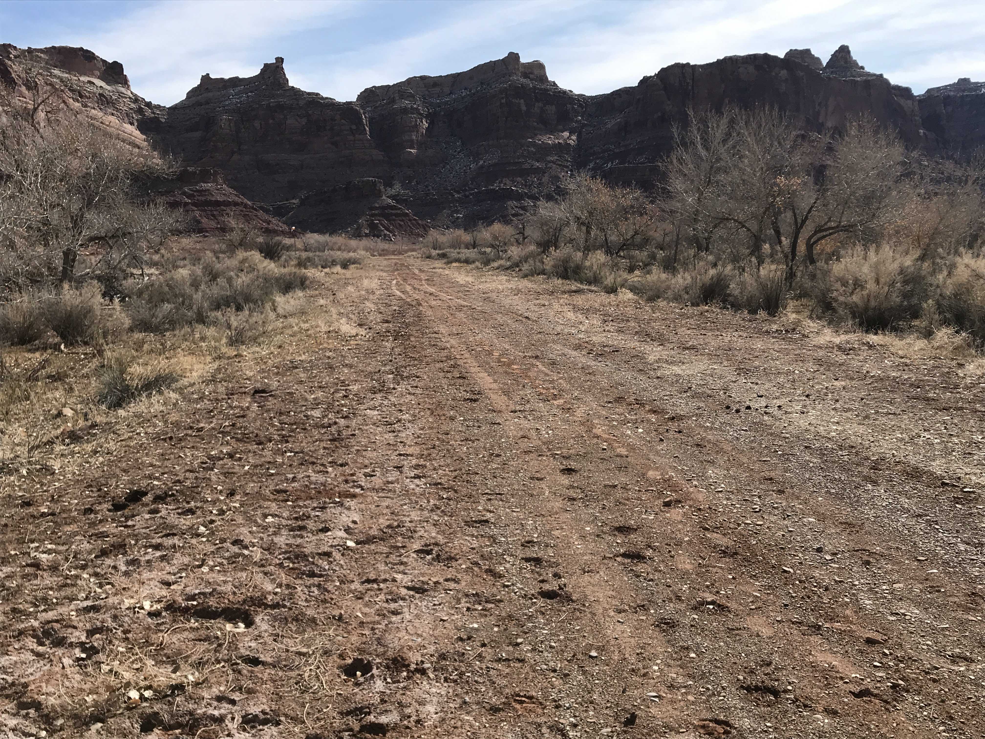
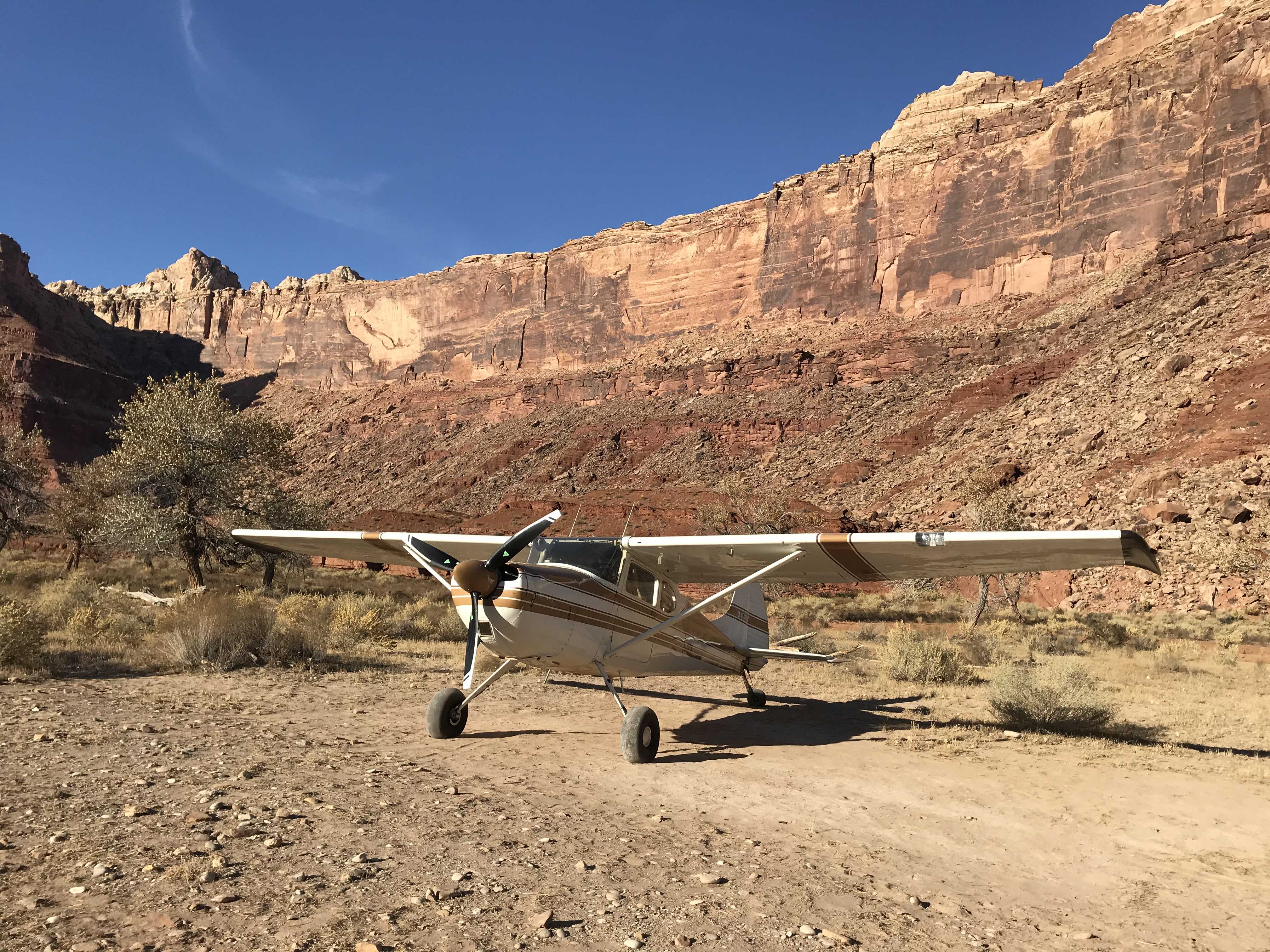
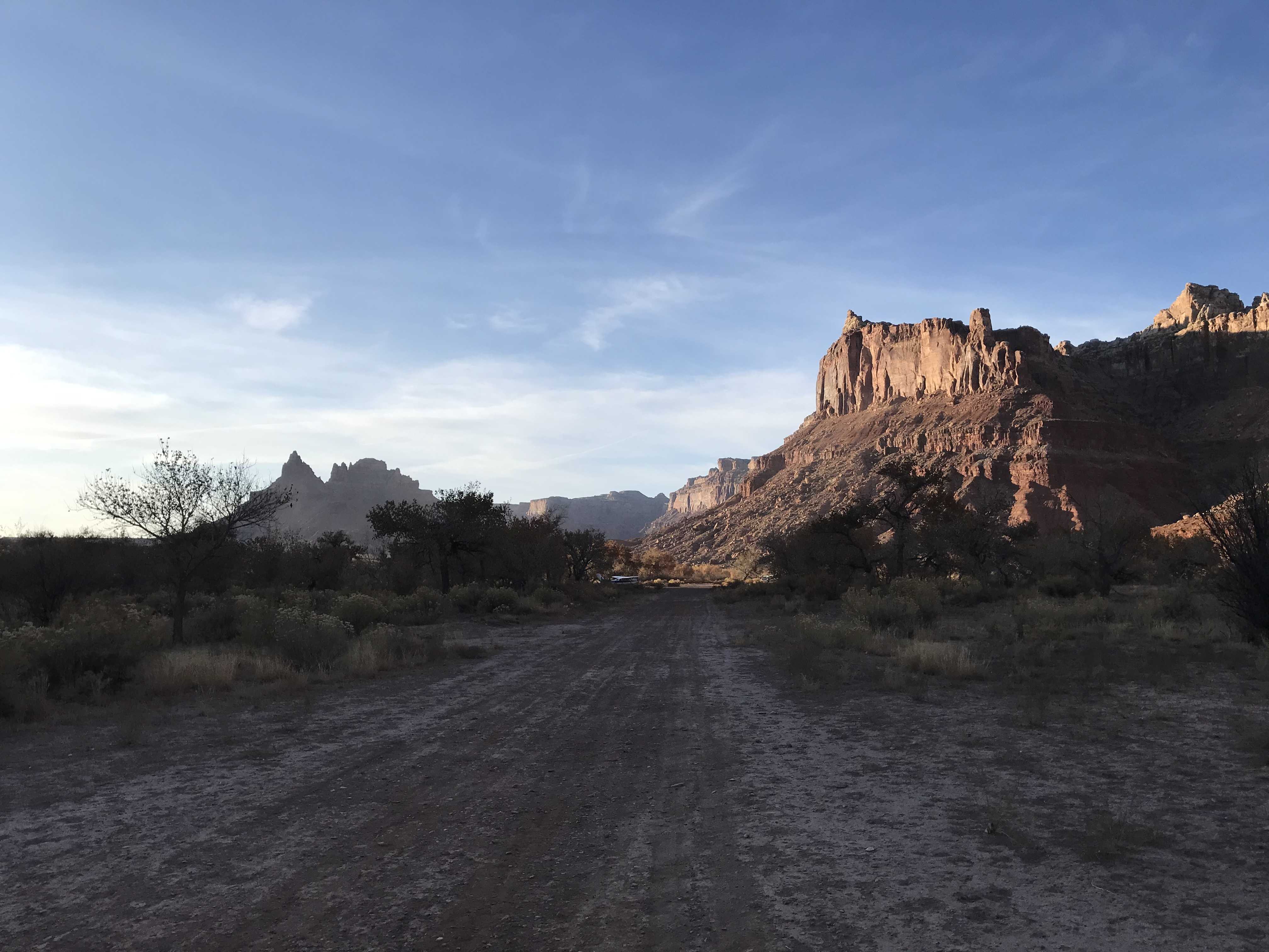
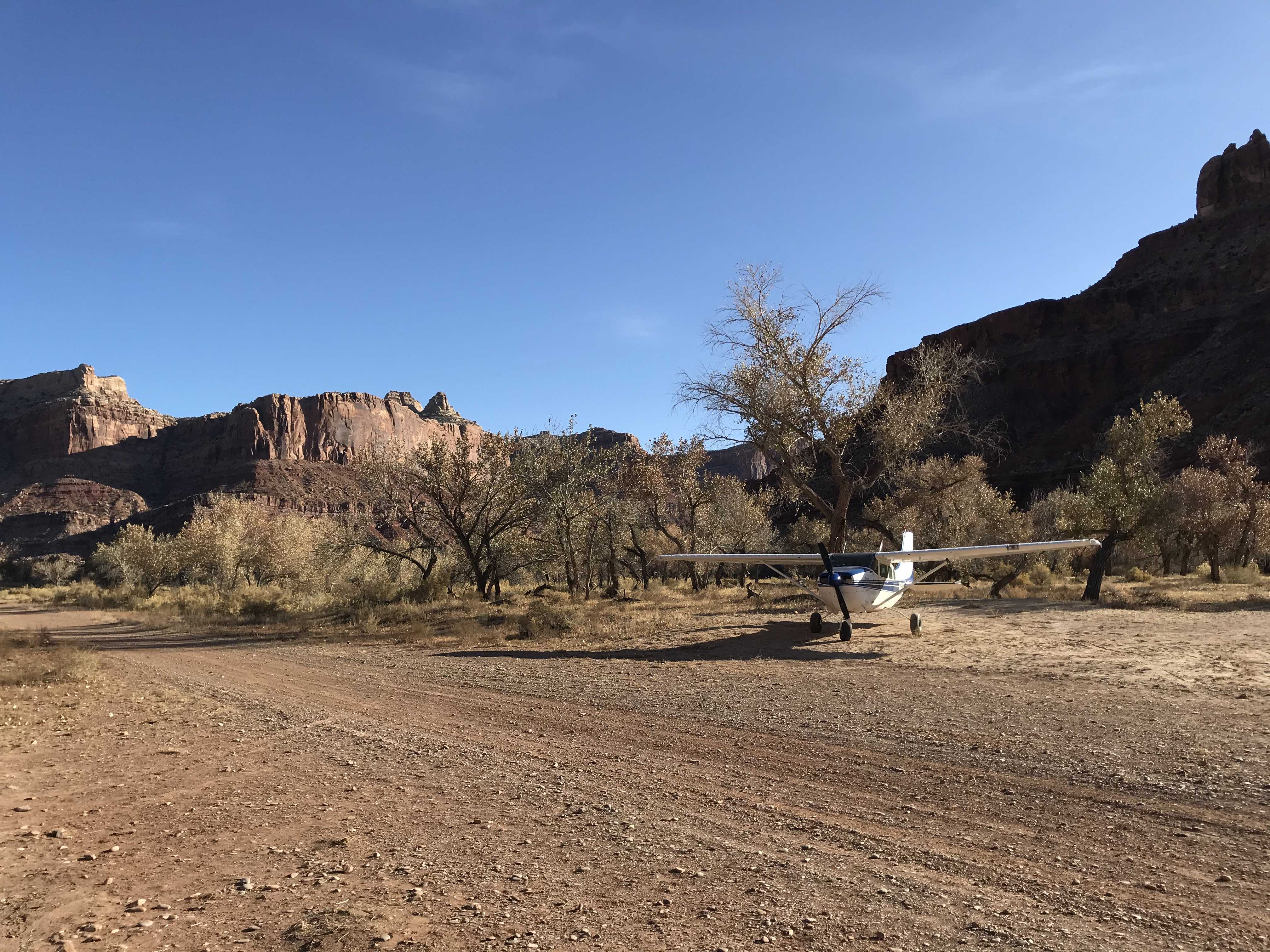
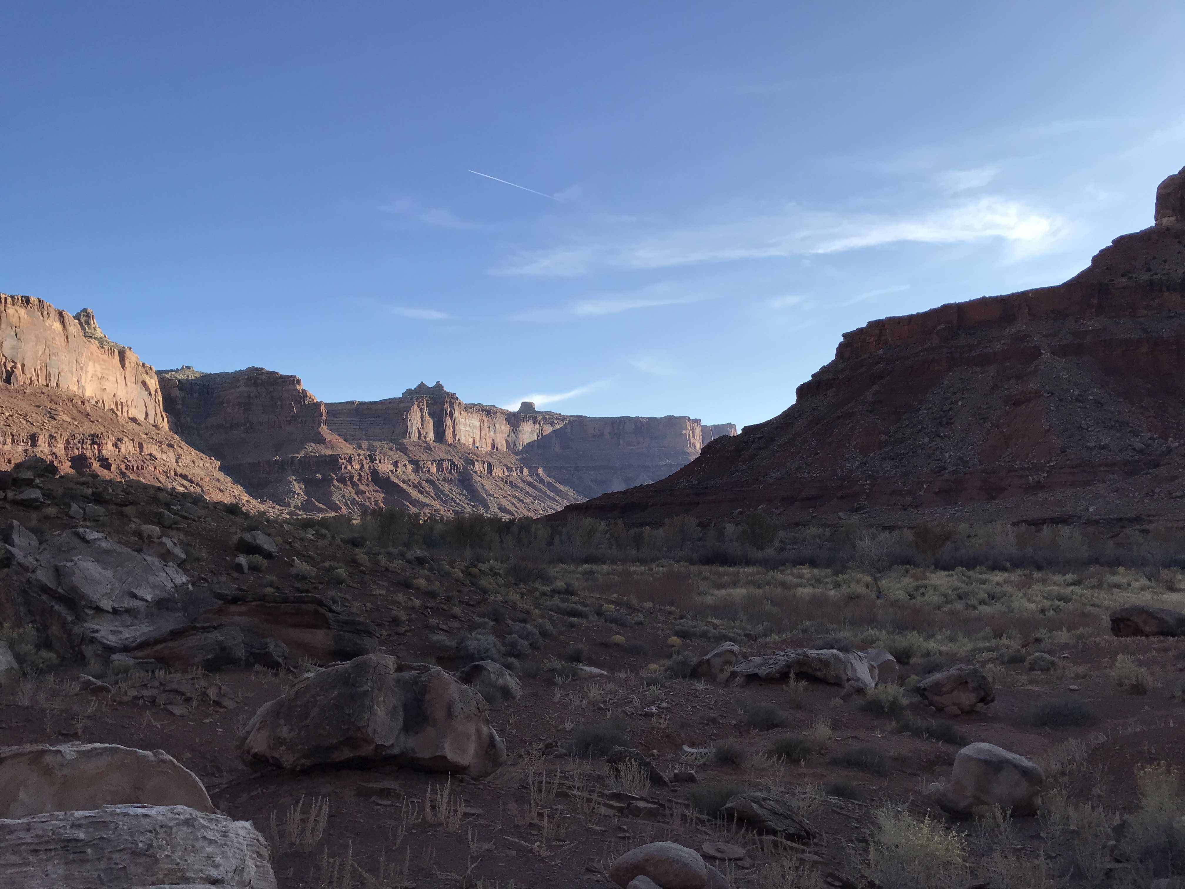
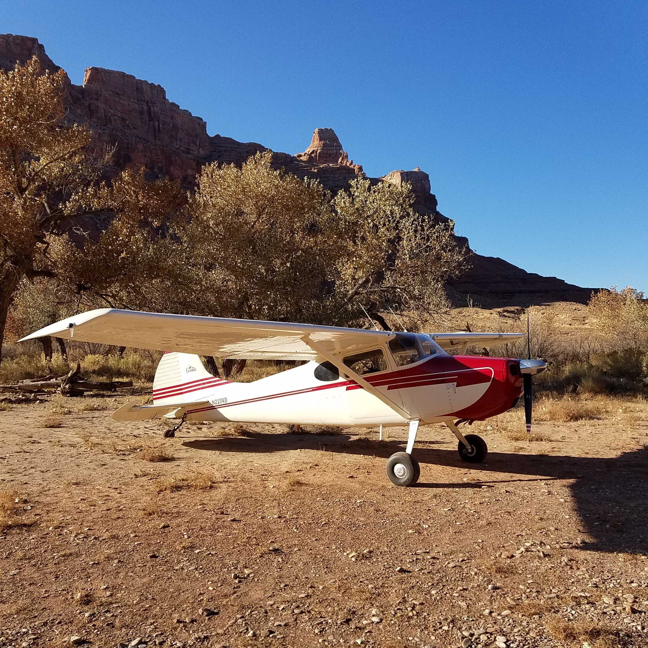
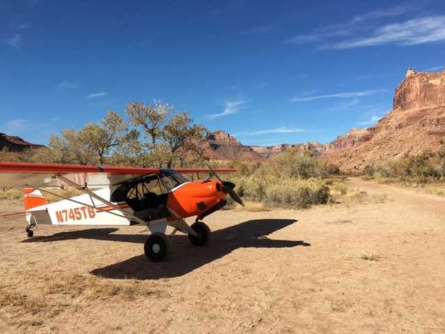
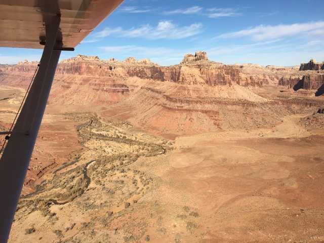
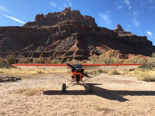
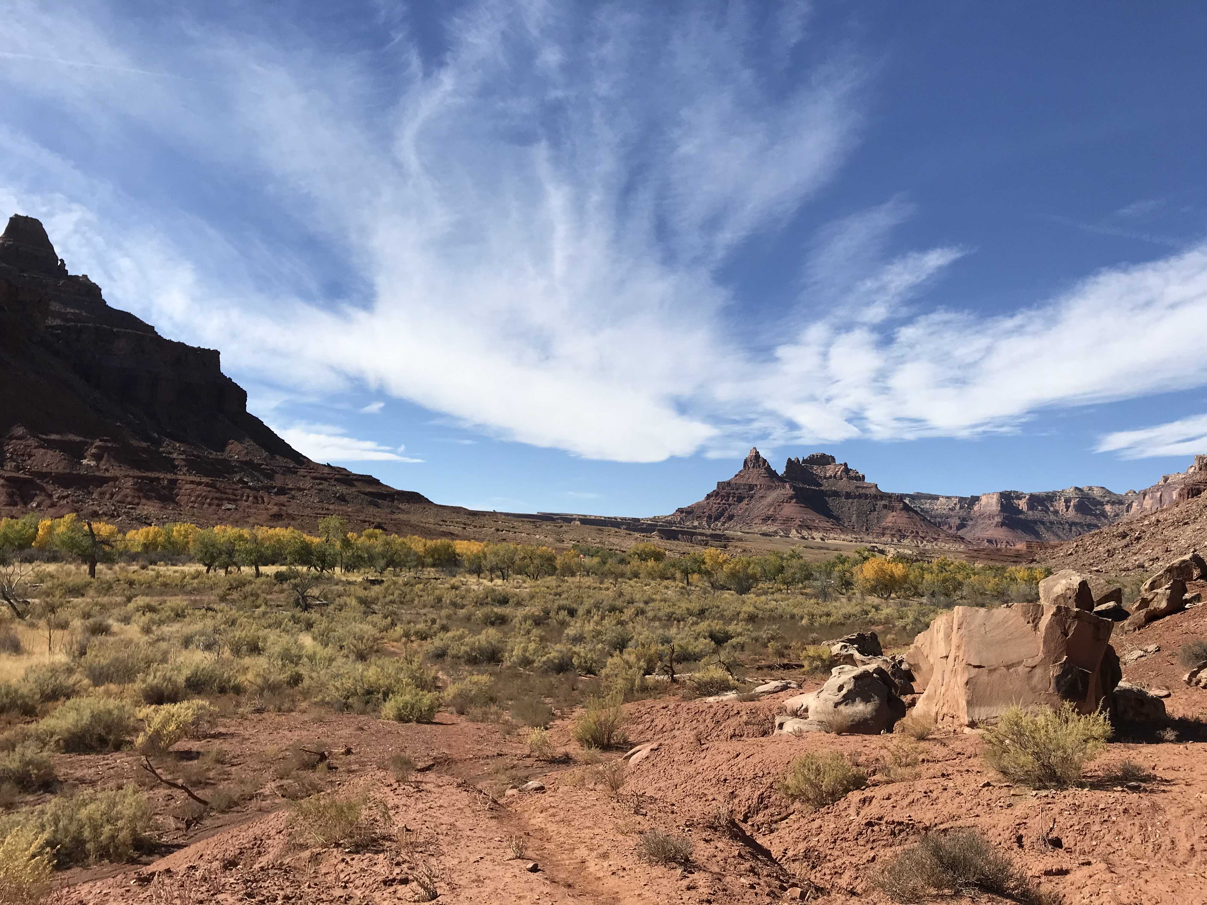
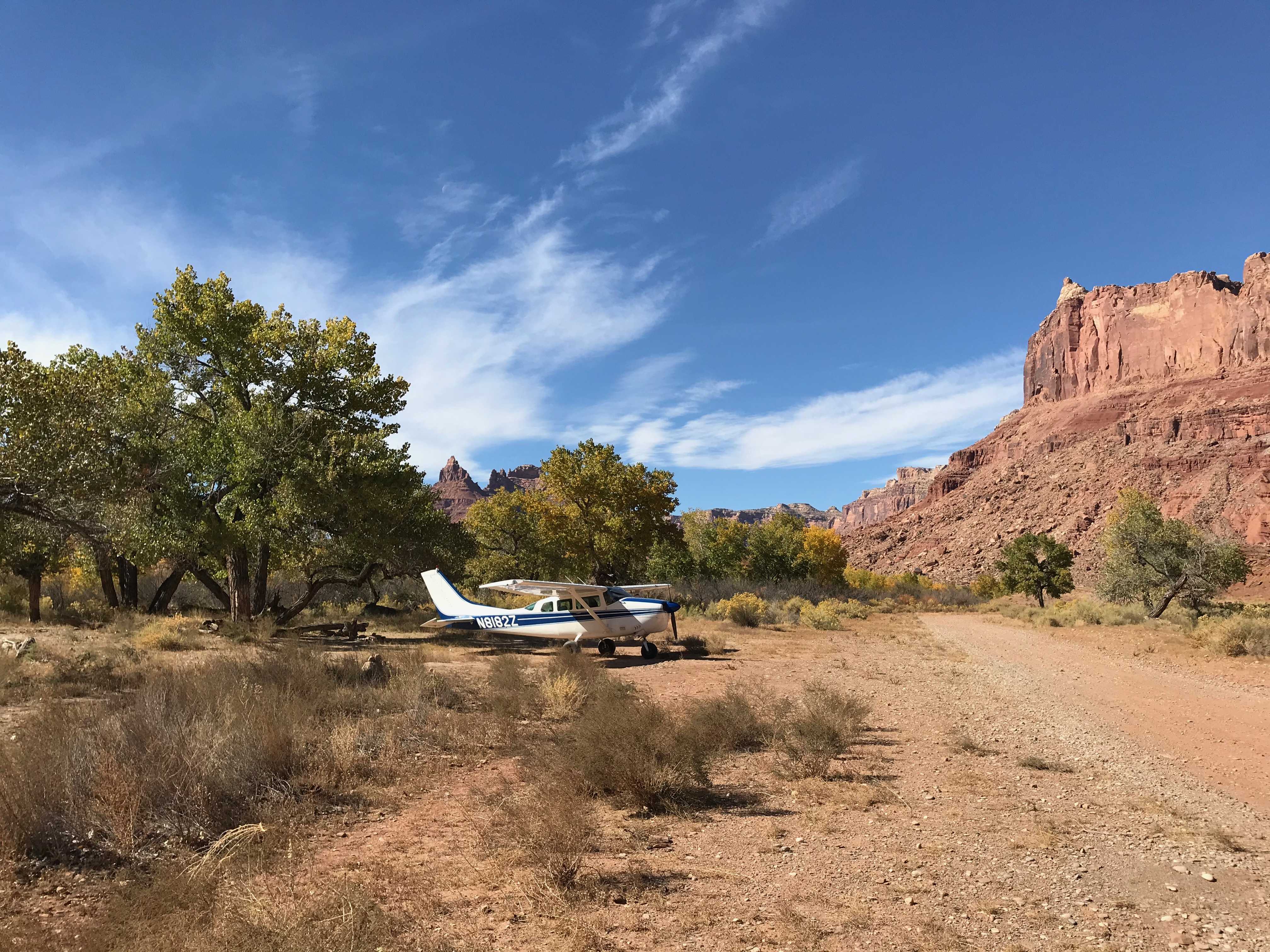
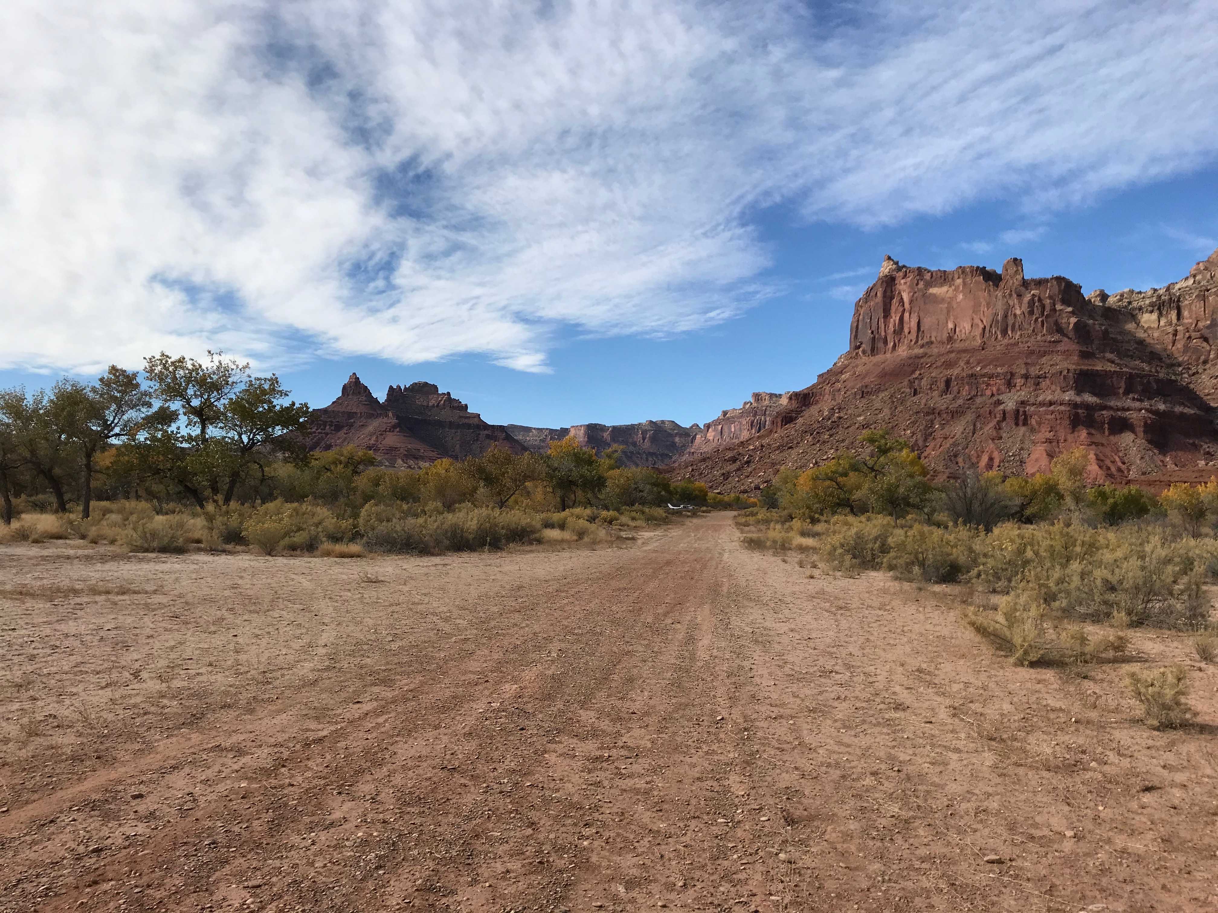
Description: Mexican Mountain's runway is oriented west/east alongside the San Rafael River inside the Mexican Mountain Wilderness Study Area. Due to the sensitive nature of the location, pilots are requested to adhere to the UBCP's Code of Conduct to help us maintain our strong working agreements with the BLM. Reminder to all pilots this airstrip exists within a Wilderness Study Area. Motorized or wheeled conveyances are not to be used on the airstrip or surrounding areas.
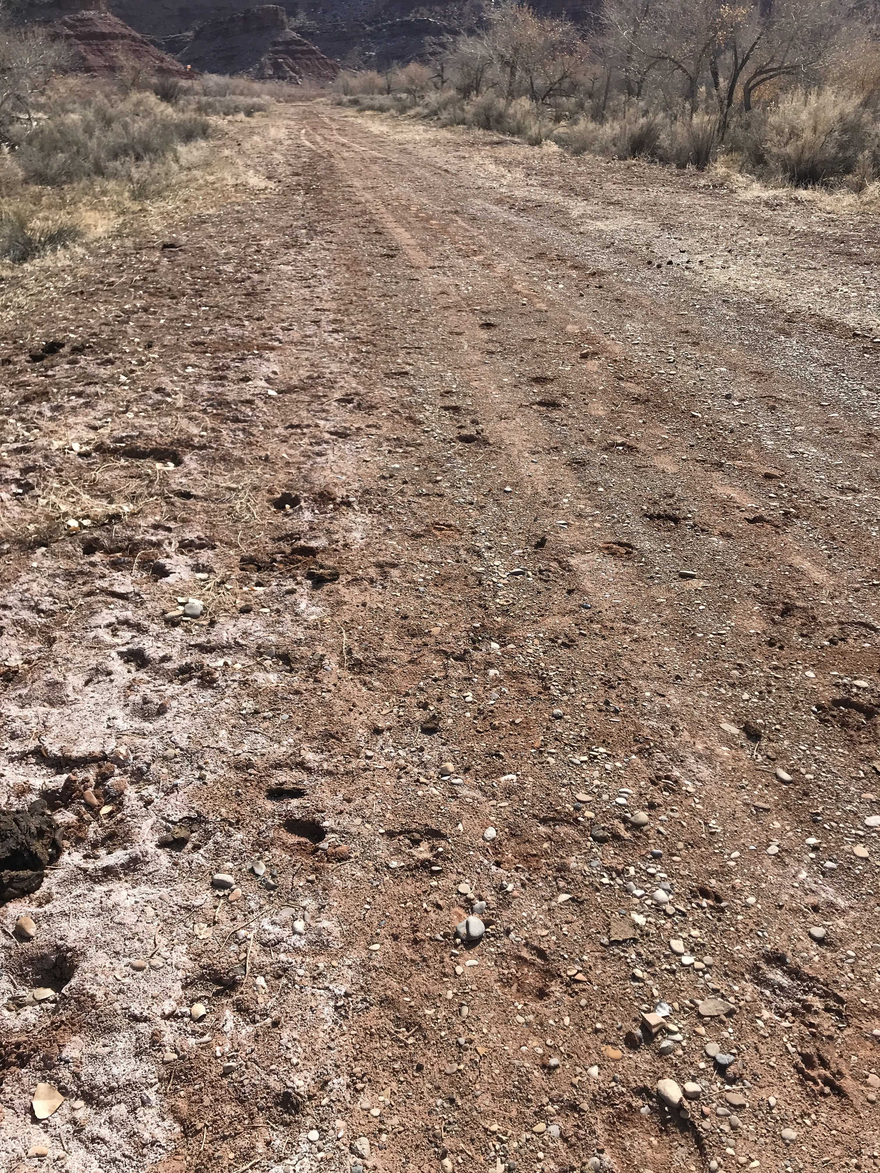
Runway: 1900 ft long x 40 ft wide dirt runway in good condition. Slopes uphill slightly to the west. First 500' from the east is soft and has a "dark spot" that appears wet throughout the year.
Approach Considerations: Tall trees (30+ ft) on both sides of the runway present a hazard when landing to the east (downhill). Typically land to the west and depart to the east.
Amenities: Campgrounds and fire rings (please use already established camping\/parking areas and fire rings).
Windsock: Yes, located east of the runway.
East end of runway was still wet and the cattle have walked across making quite a few ruts. Manure from cattle covering runway. I cleared all the manure but the hoof marks need to be raked out. Surprised that cattle can graze here as there is a lot of damage from the cattle?? West end of runway has a pretty good sandy dip in middle of the runway. Edge of the runway would be the better choice if landing to the East.
As our last stop, we landed here with one of the rec planners from the Price District on our survey flight of the strips in his district. The strip is in great shape. We weren't happy to see that some one had ridden their mountain bike in from the trailhead all the way to the Sheriff Tuttle plaque. So just a reminder to anyone visiting the strip that it is in a wilderness study area and things like bikes aren't allowed. Also, no new fire rings are allowed.
We haven't written a history for this airstrip yet. If you would like to provide us with some information about this strip, please contact us today!