Airstrip Info
| Frequency | 122.90 |
|---|---|
| Elevation | 3946 ft |
| Lat/Long |
38.5293, -109.9946 38° 31.758' , -109° 59.676' |
| Runway 15/33 |
2100 ft
x 25 ft
Dirt |
| Ownership | BLM |
Weather
See more at the National Weather Center
Information updated November 5, 2019 @ 6:49pm
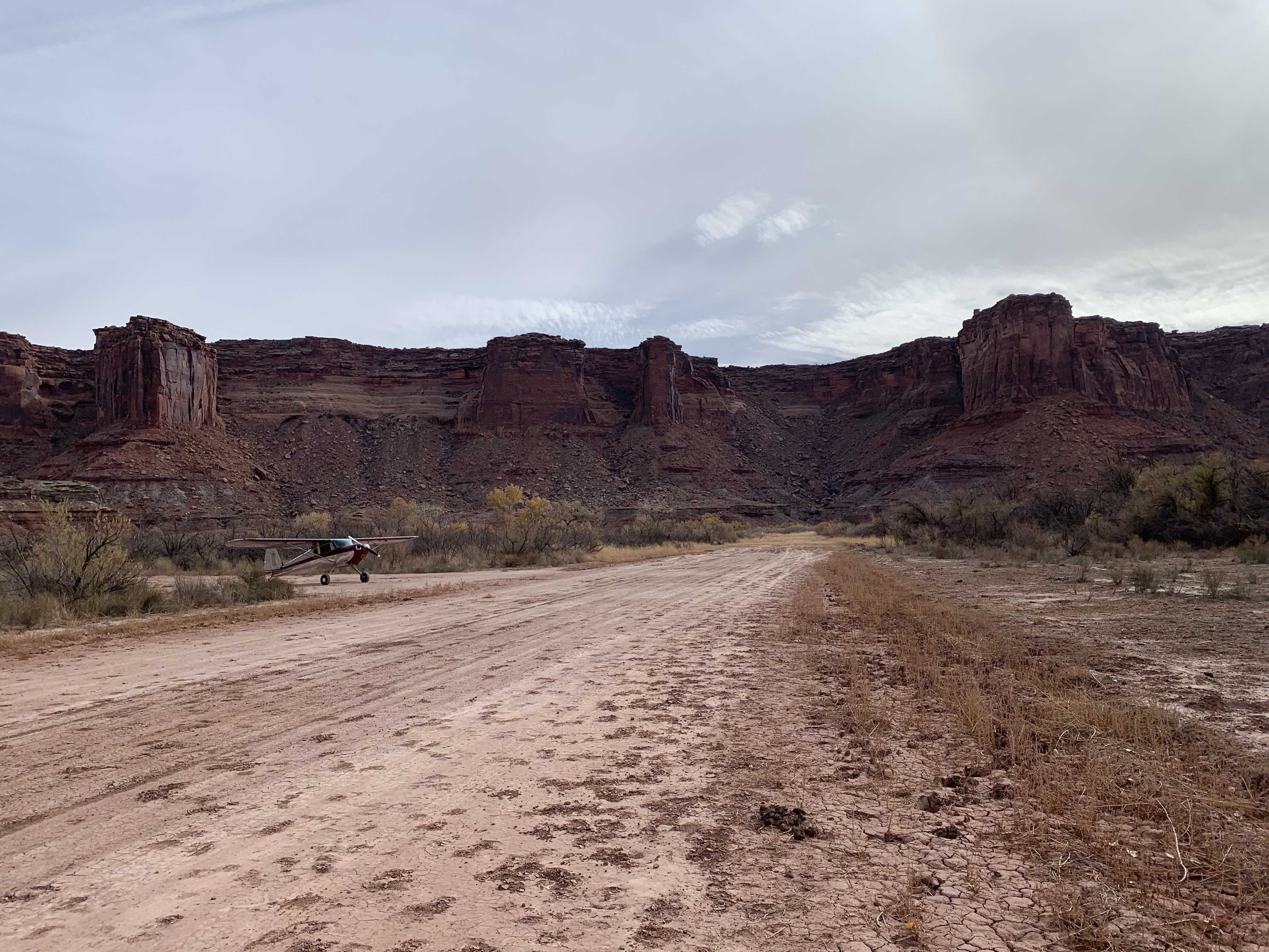
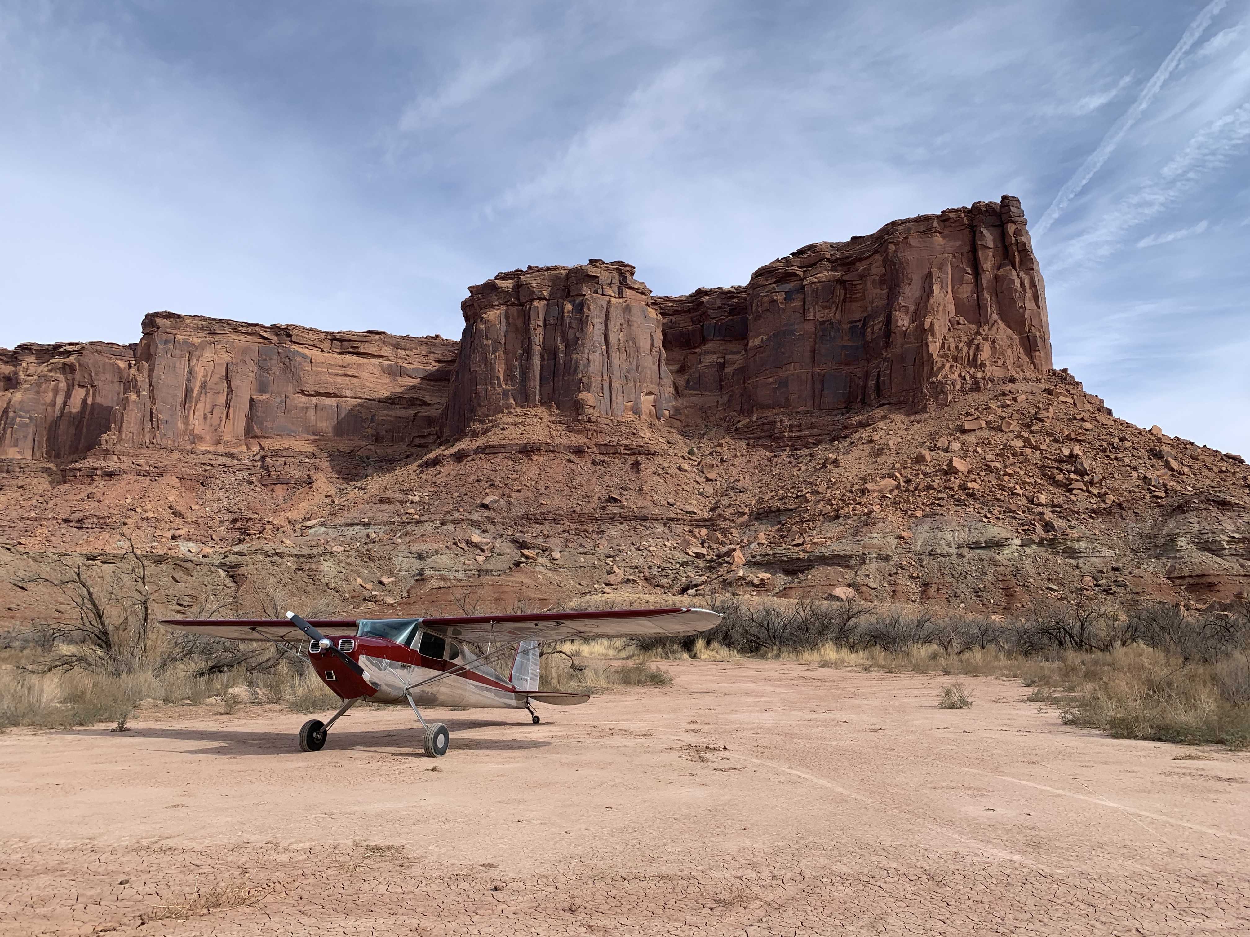
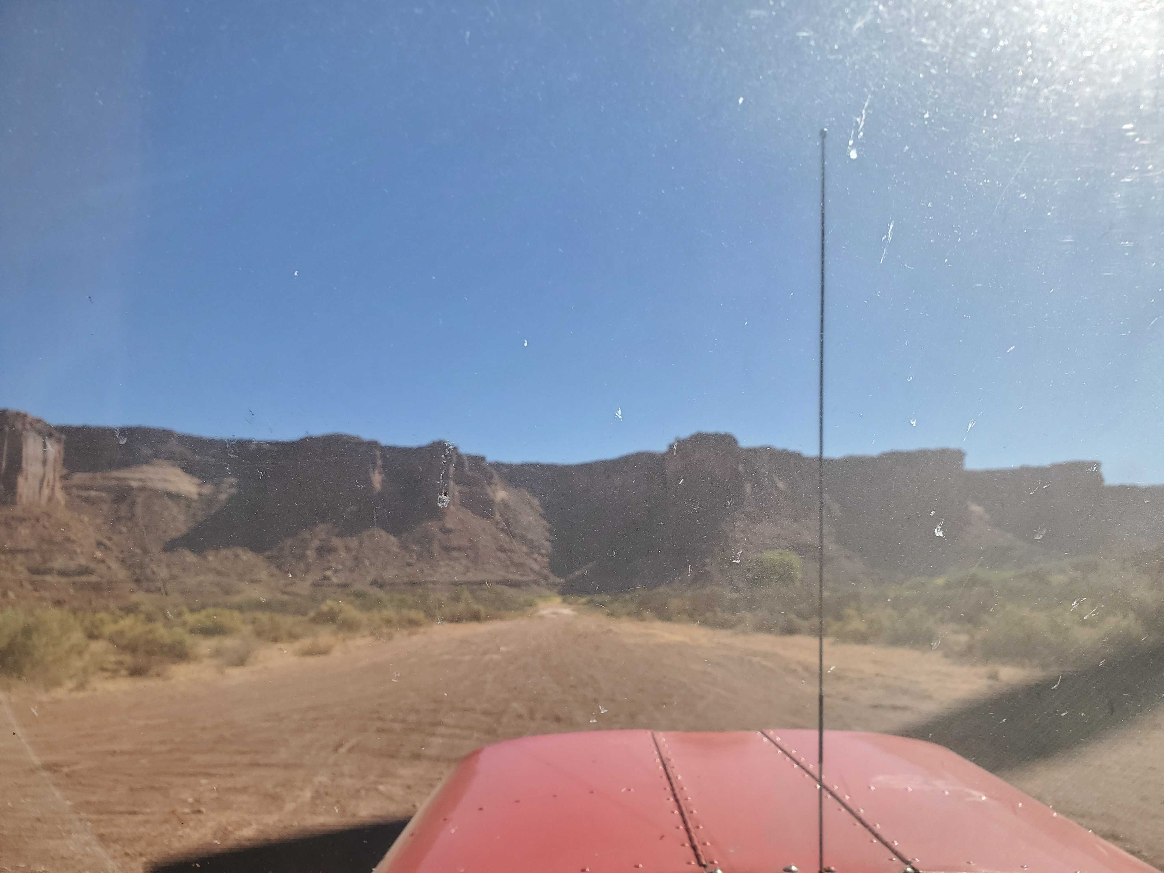
Description: Mineral Canyon's airstrip resides in the Green River canyon just south of the Bowknot Bend. Mineral Canyon is one of the three back country airstrips included in the State's "FLY UTAH Passport Program". To learn more, head to their website.
Runway: 2000 ft long x 40 ft wide dirt runway in good condition.
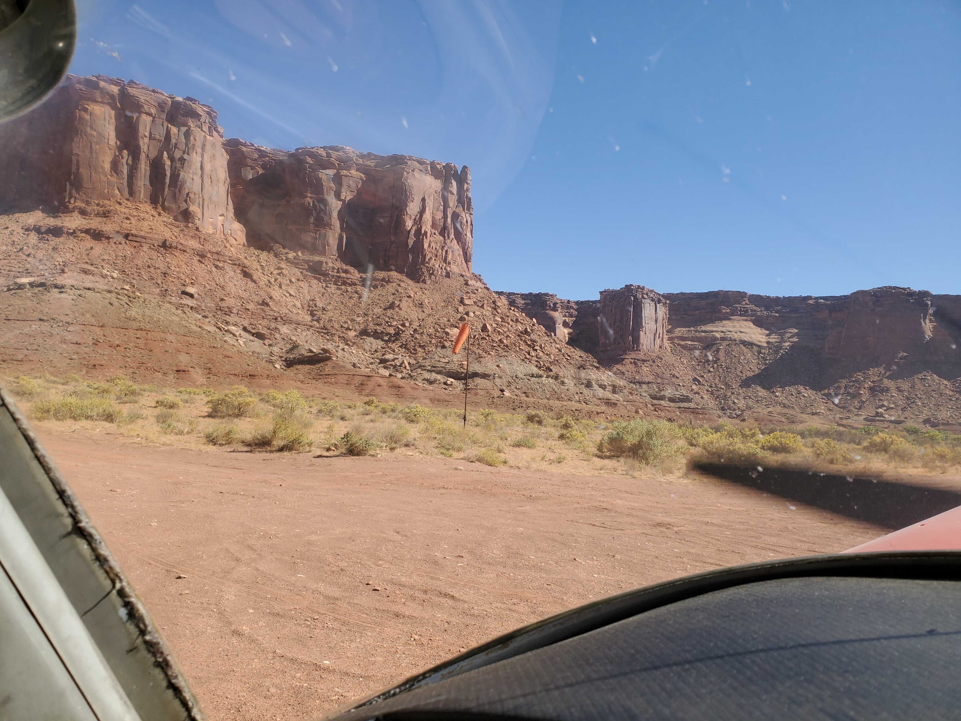
Approach Considerations: Airstrip resides inside a canyon with rapidly rising terrain within 1000 feet of the airstrip rising over 1000 feet above the landing surface.
Amenities: None
Windsock: Yes
We haven't written a history for this airstrip yet. If you would like to provide us with some information about this strip, please contact us today!