All Airstrip Reports
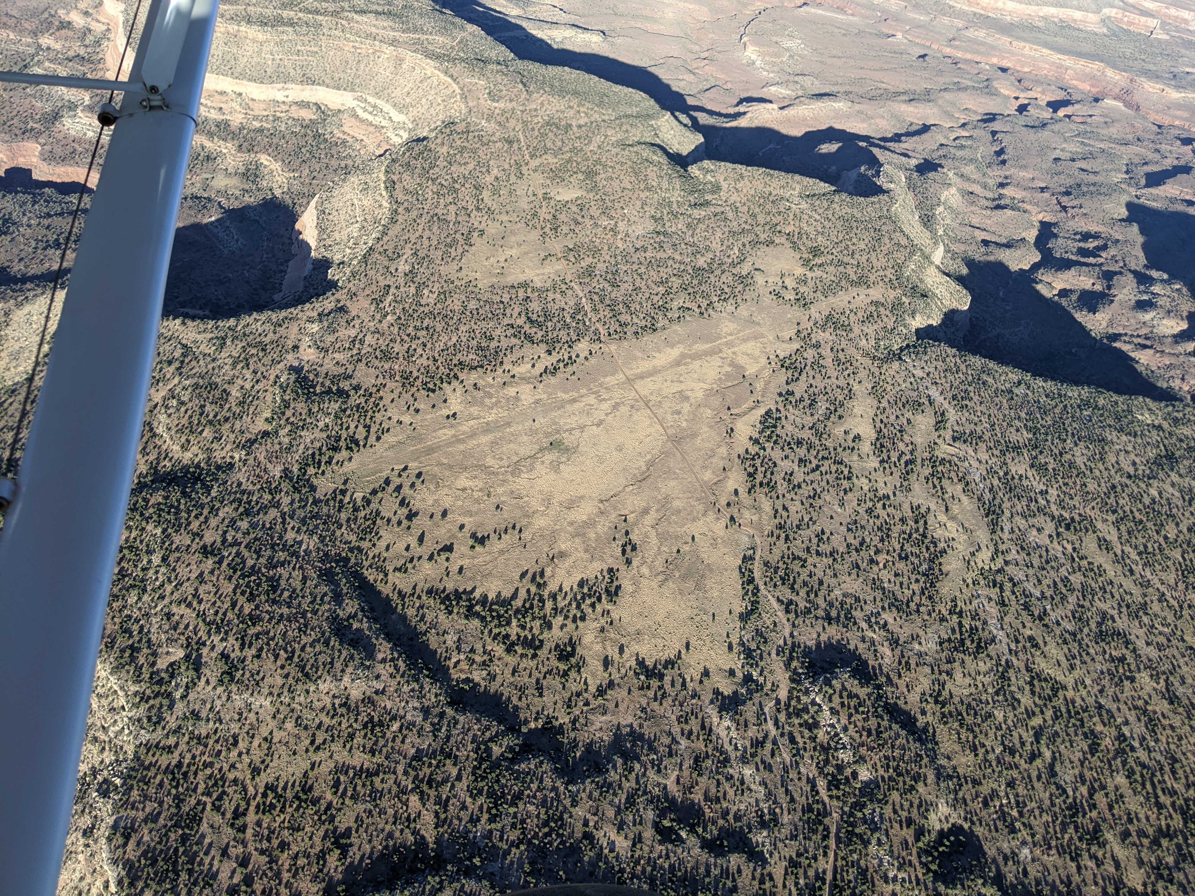
there are 2 strips at or near Dark Canyon. The satellite image associated with this strip (on this site) shows the strip to the south along Woodenshoe RD at 37 49.420N 110 05.341W. The Dark Canyon Plateau strip is north of the canyon at 37 53.772N 110 05.573W and it was pretty rough when I landed there years ago. Which one is going to be fixed up?
The runway is actually a 4 wheeler road that is quite long (>3000 ft). No significant ruts. 850 tires would be just fine. At first I was looking for a 1200ft landing strip and landed on this long "road". Just to the west about 30 yrds is a sand beach with a strip about 1200 ft long. I thought this was the actual landing strip so I cleaned up the area, then tested it out...shazam! It was nice. Beware of a 4ft post on the south approach end. The high water edge is currently usable for about 30 ft out toward the water. Otherwise, > 30 ft the shore looks good but you will sink 1-2 inches walking on the "dry" surface.
Runway width about 20ft (wheel area) with shrubs cleared a good 50+ ft. (wing area). Landed E to W (nicer approach). Departed W to E (lower trees/terrane). Cows seem to visit often...they leave their mark. Overall nice strip and great place to camp. Easier stream access just east of the east end of the runway. Bring bug spray and hiking boots. Had to pick up trash left behind (I always bring a large trash bag-some just have trouble packing their junk out). Beautiful scenery, enjoyed our visit.
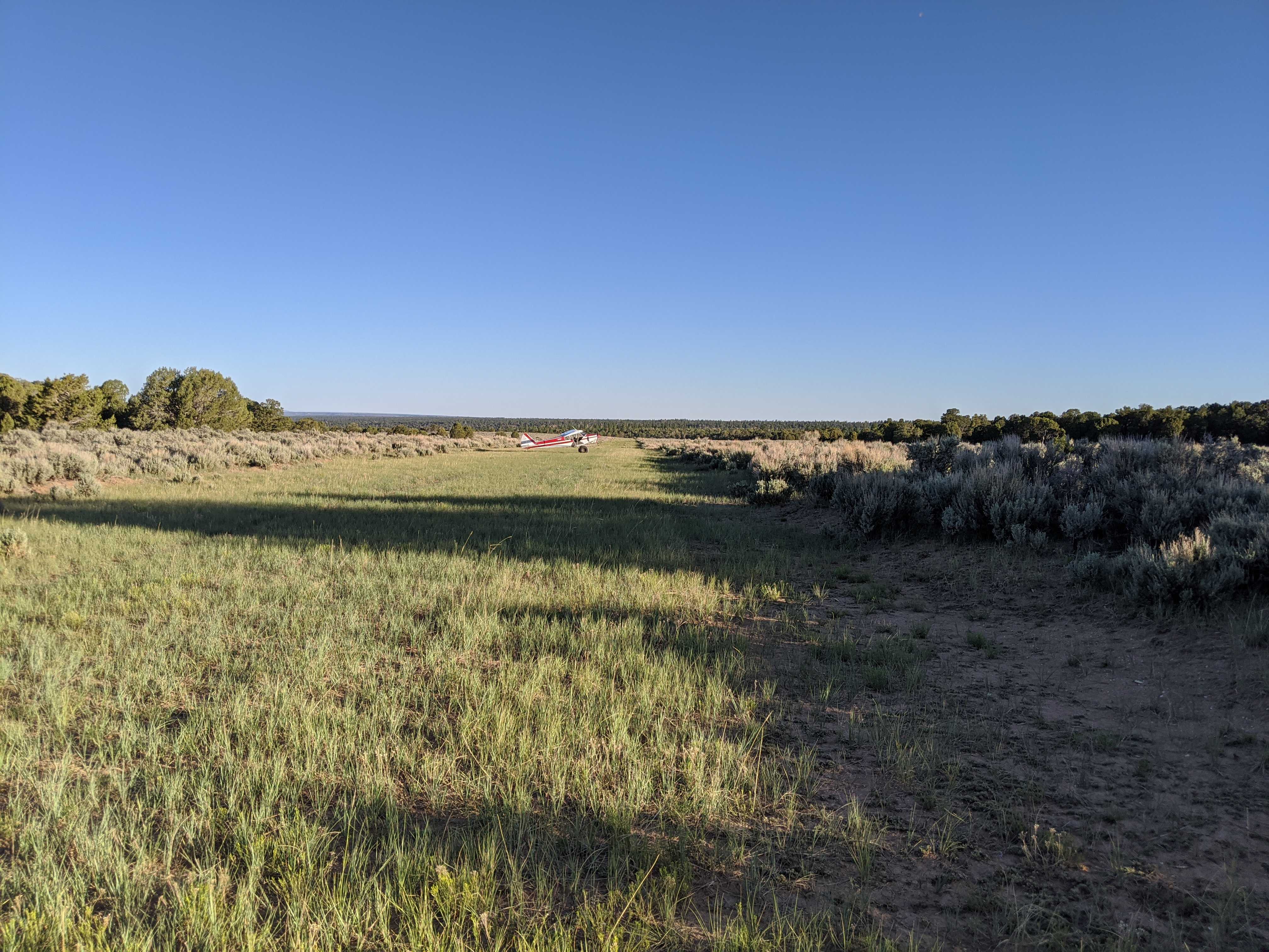
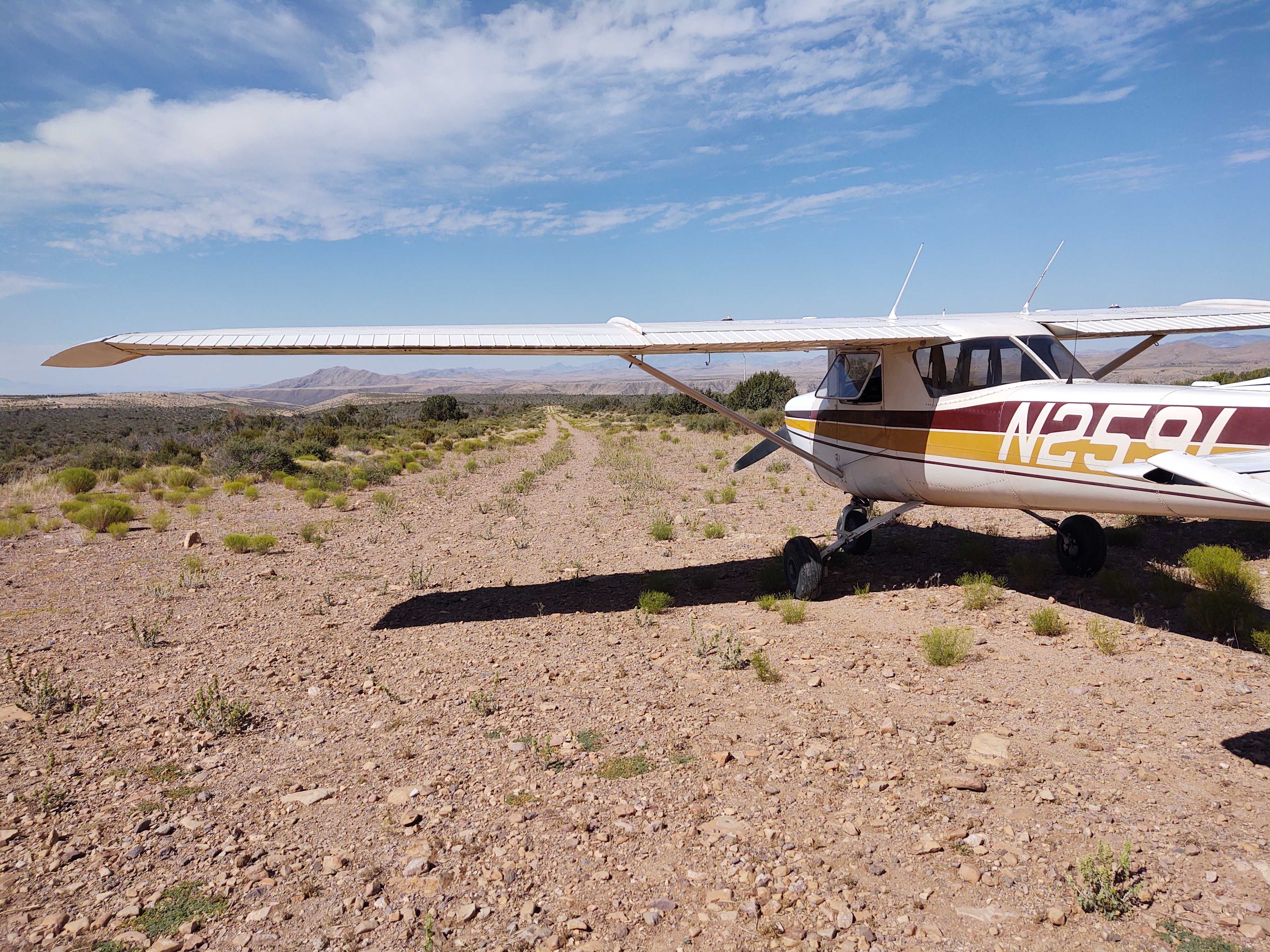
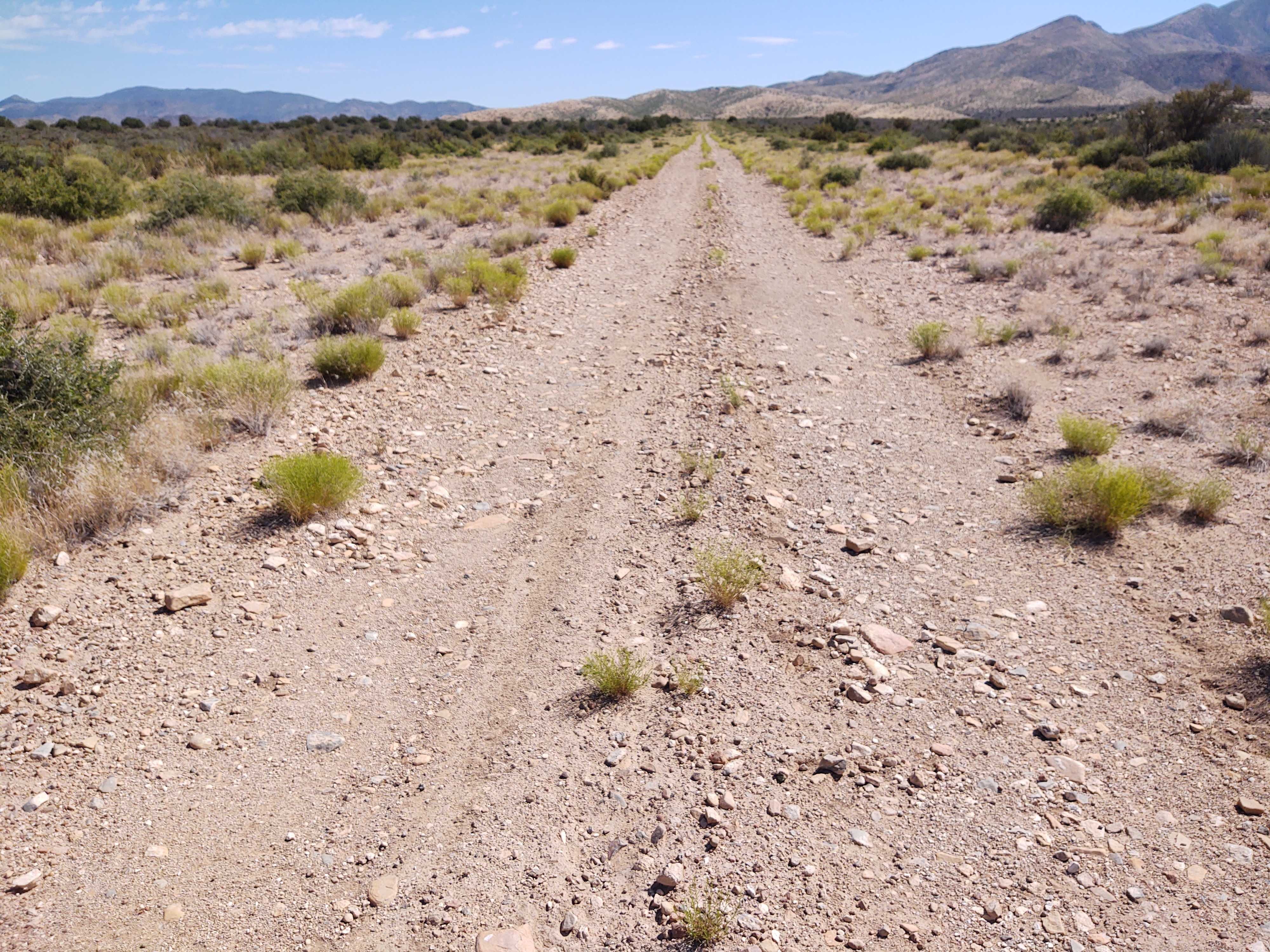
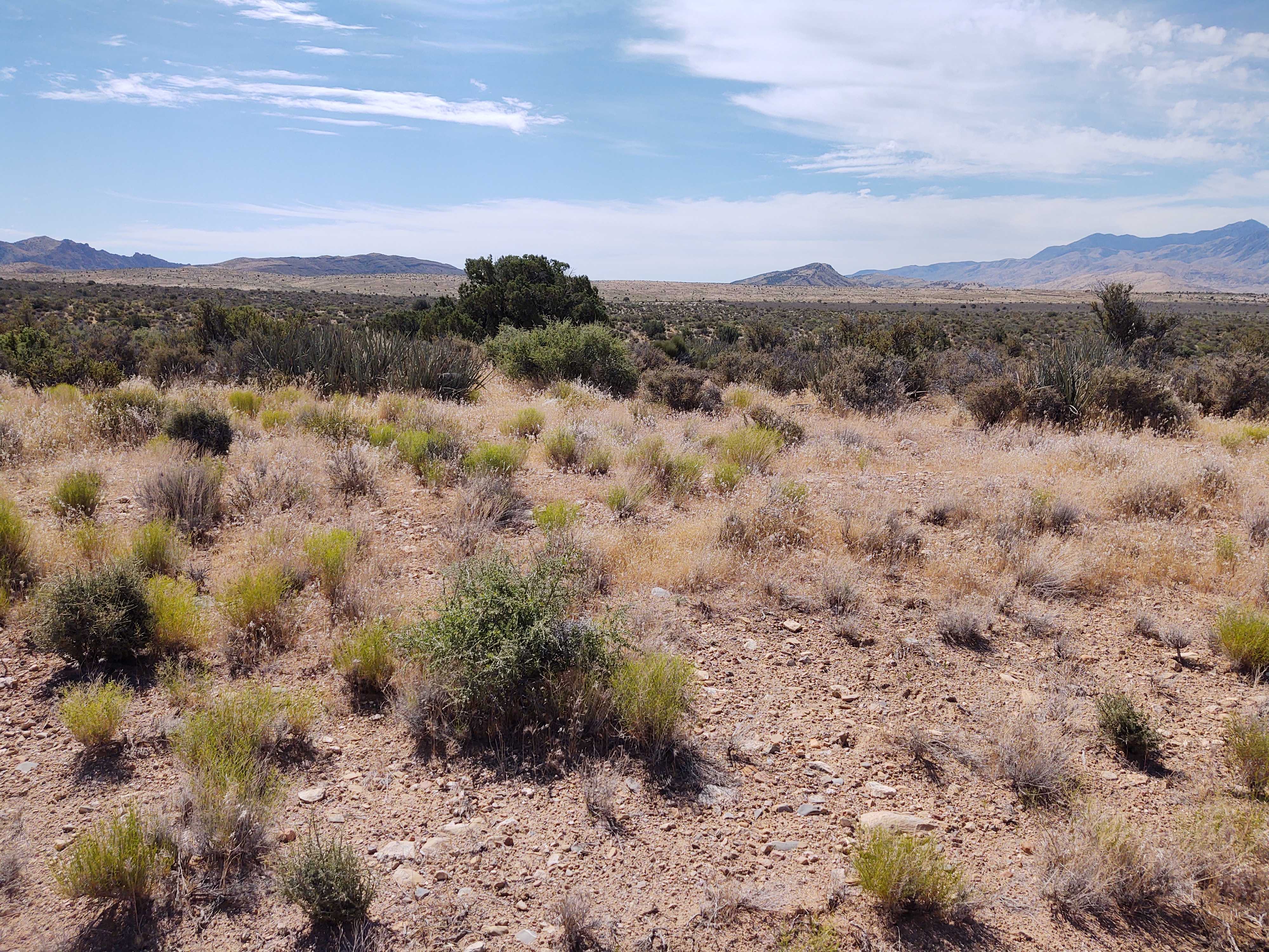
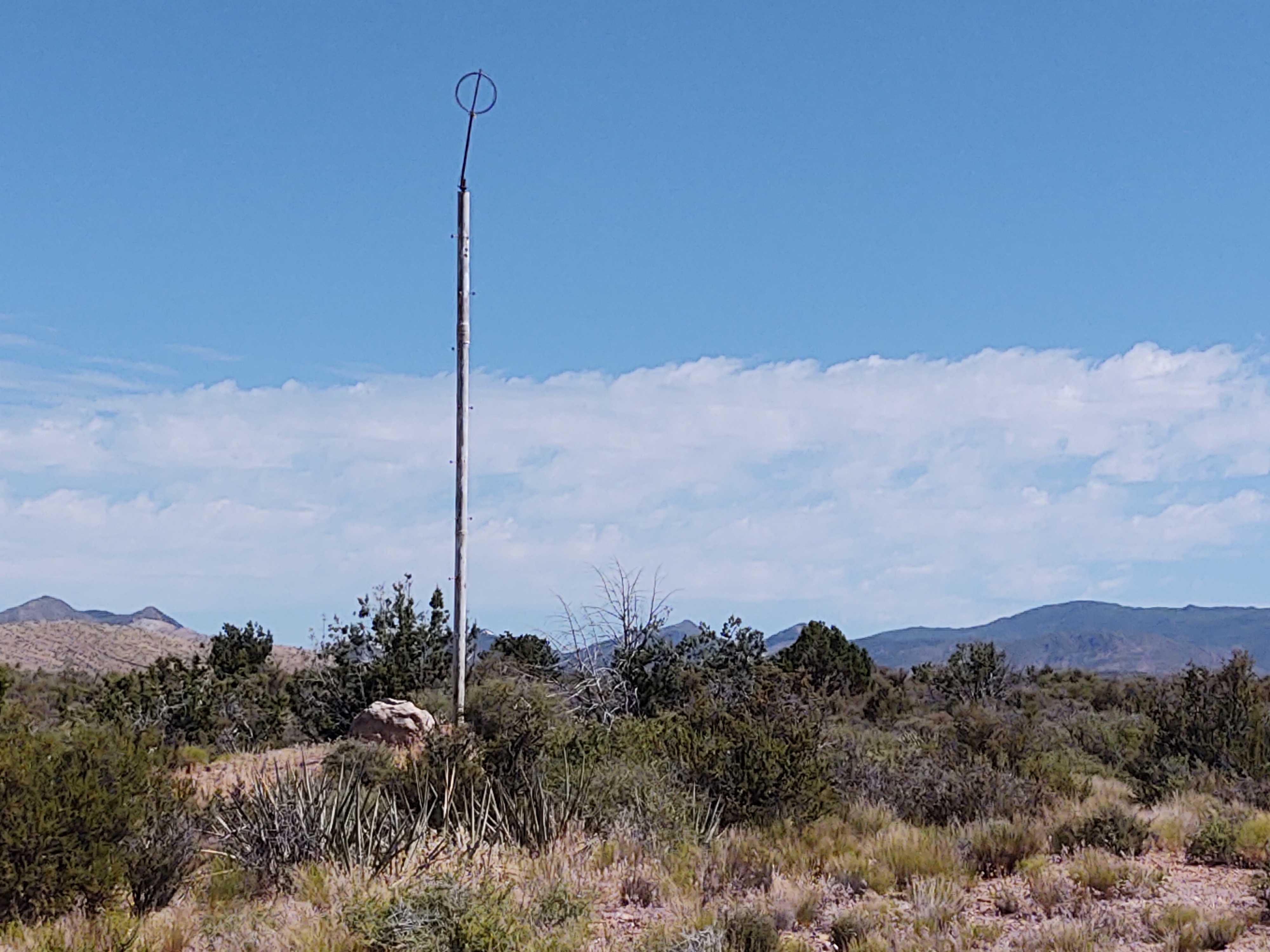
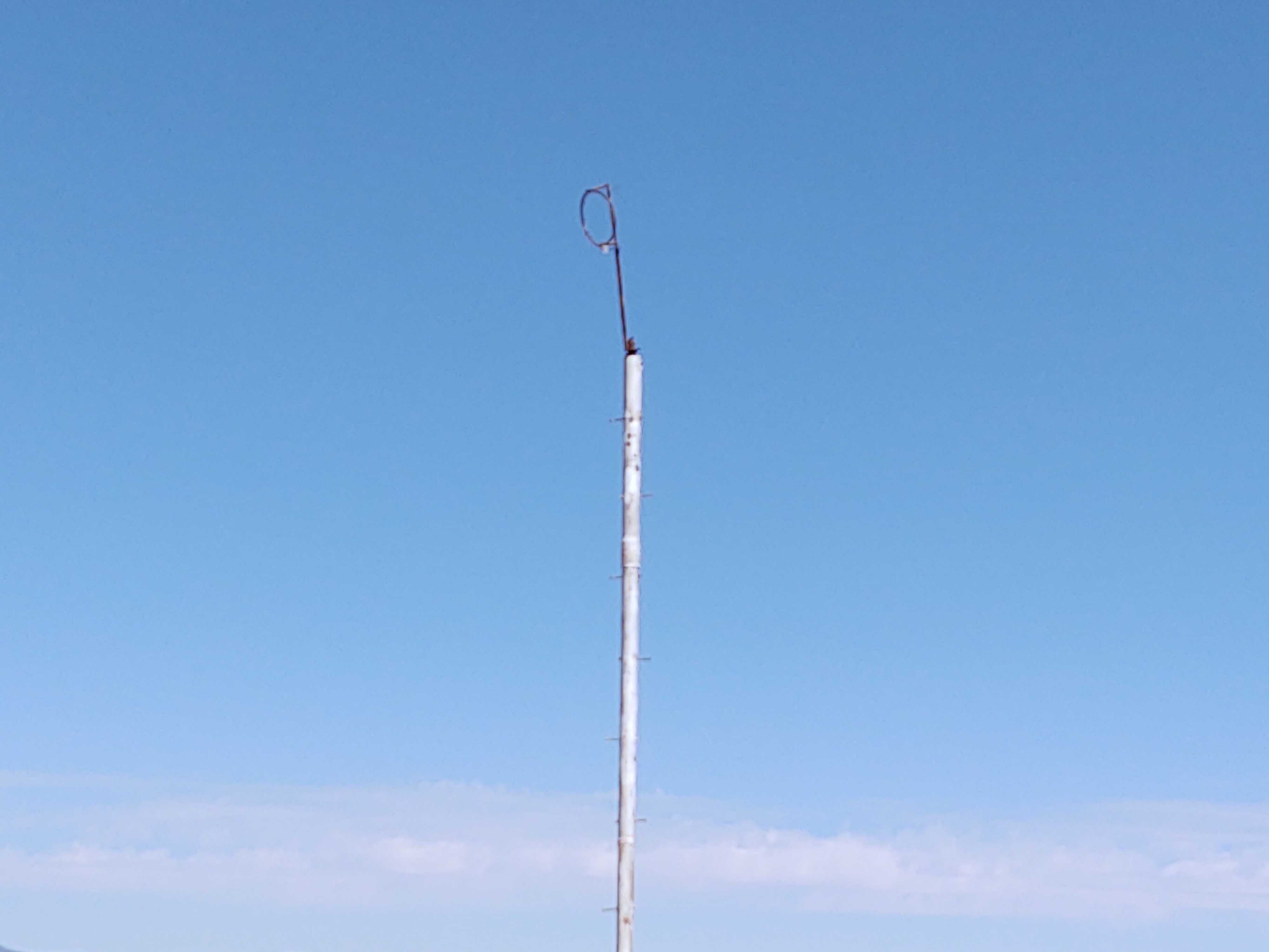
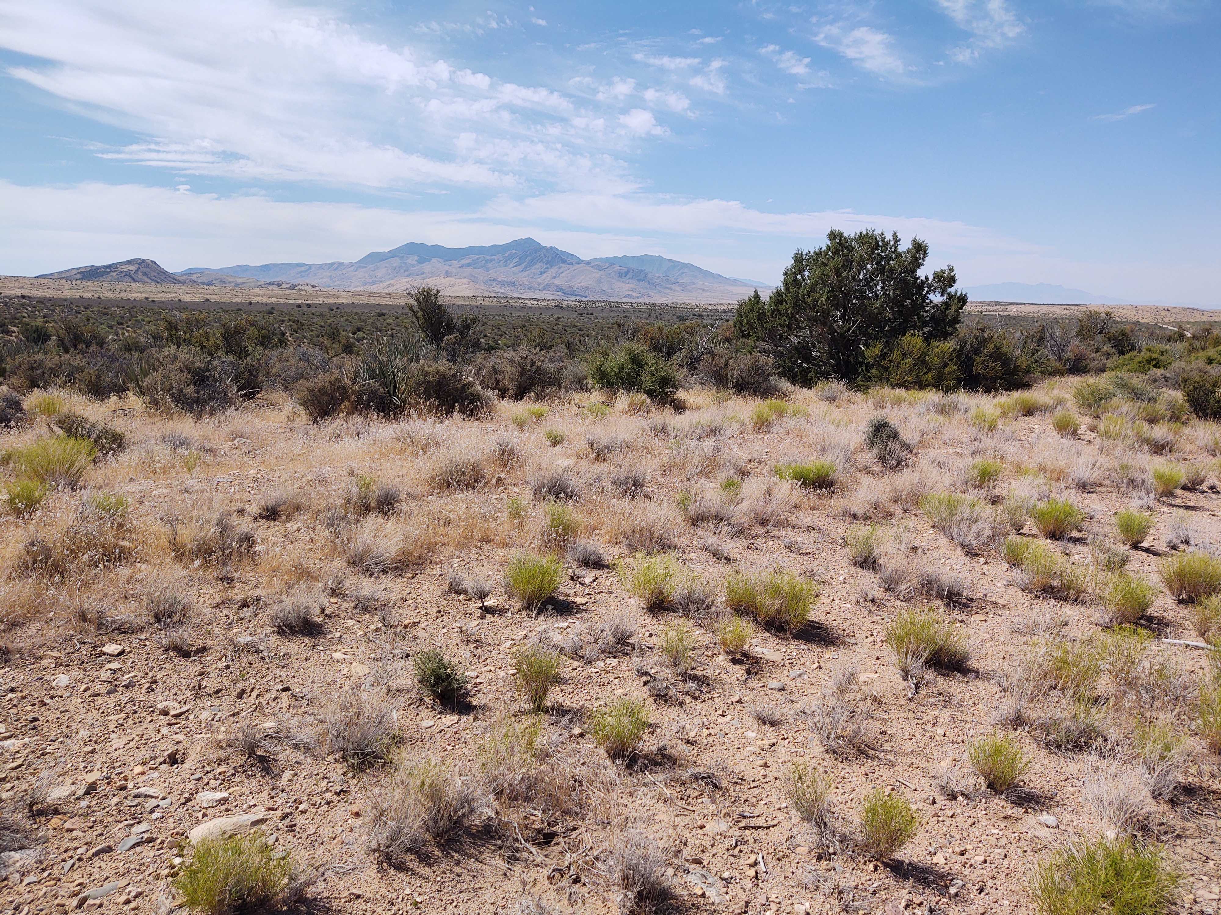
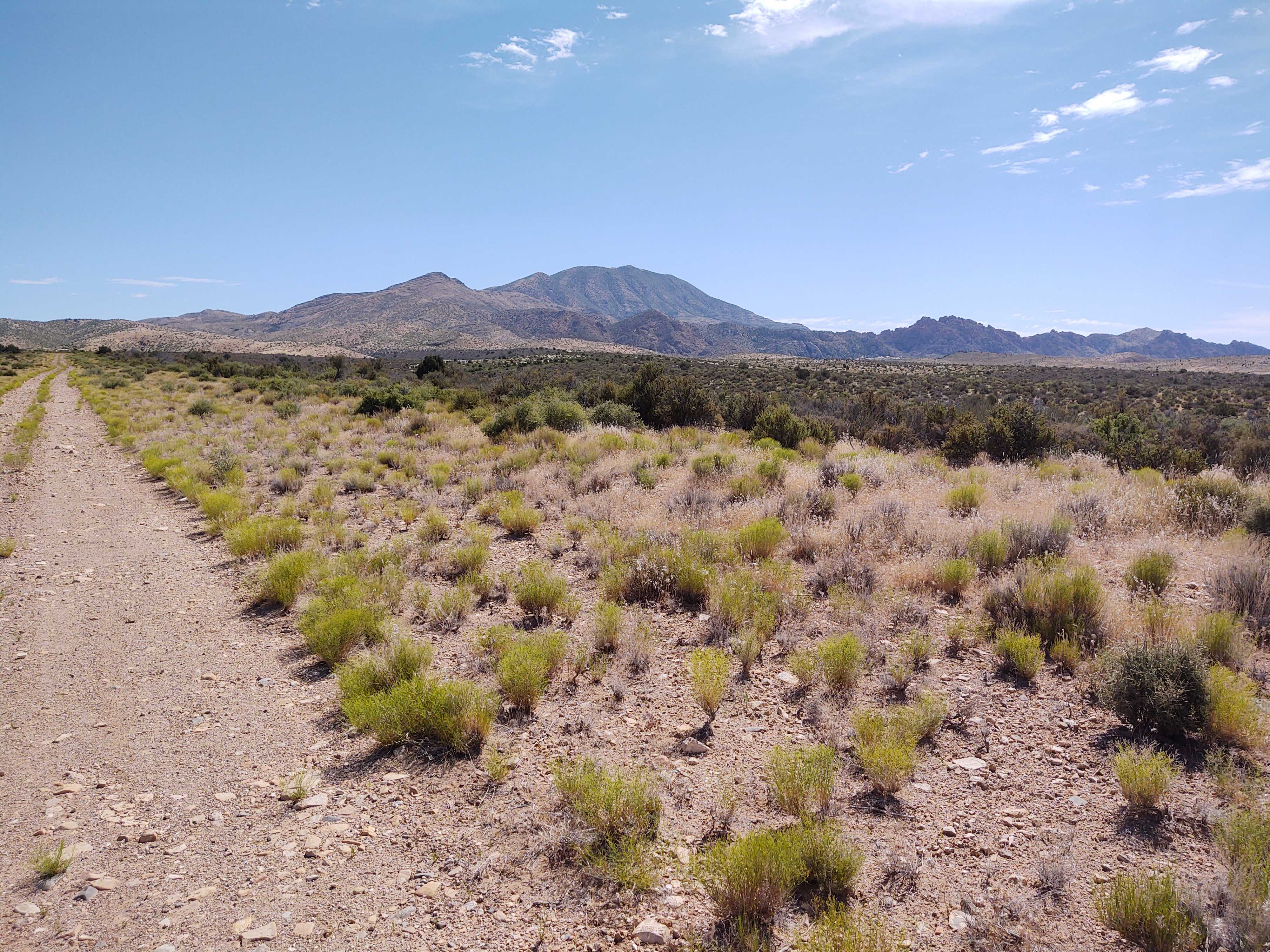
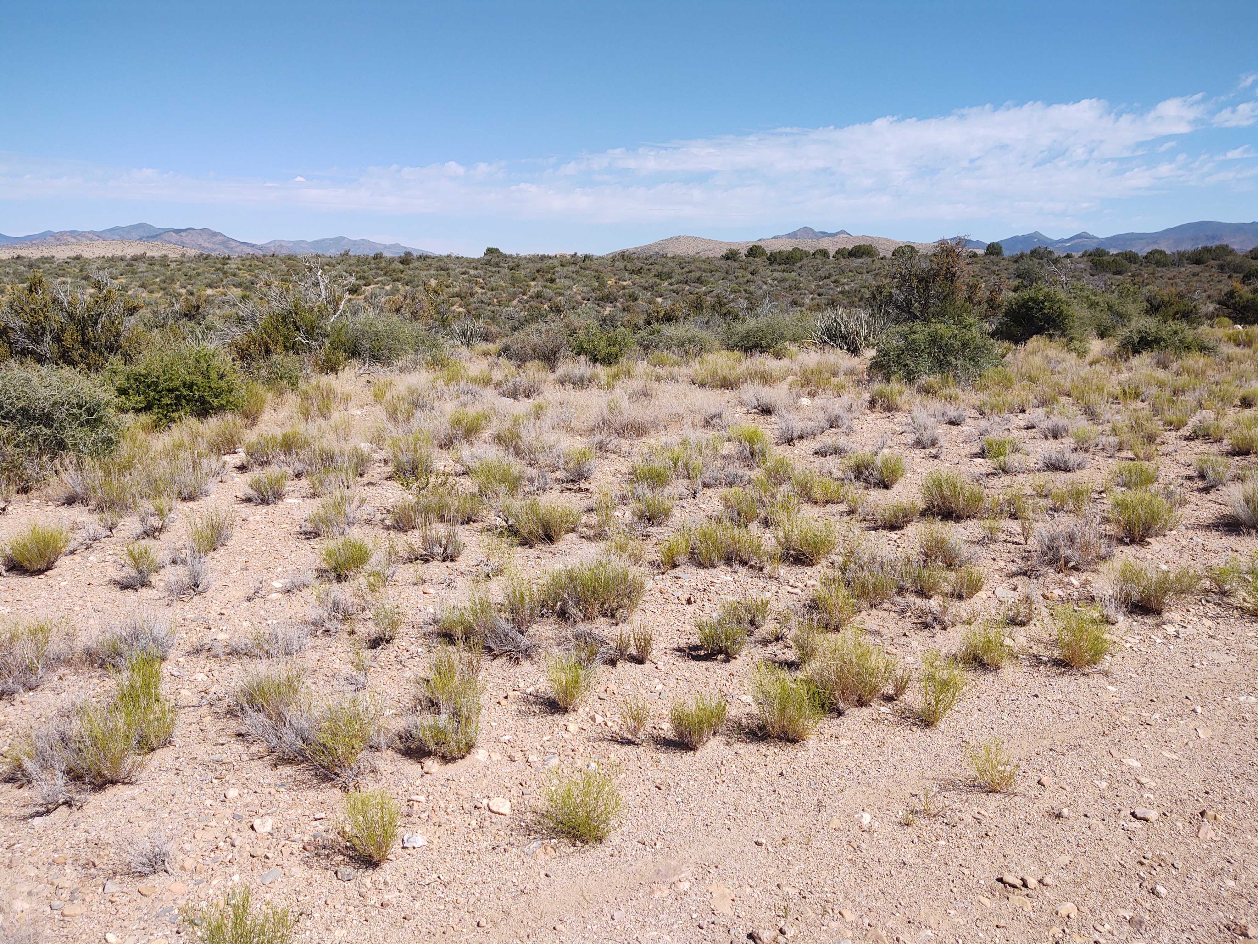
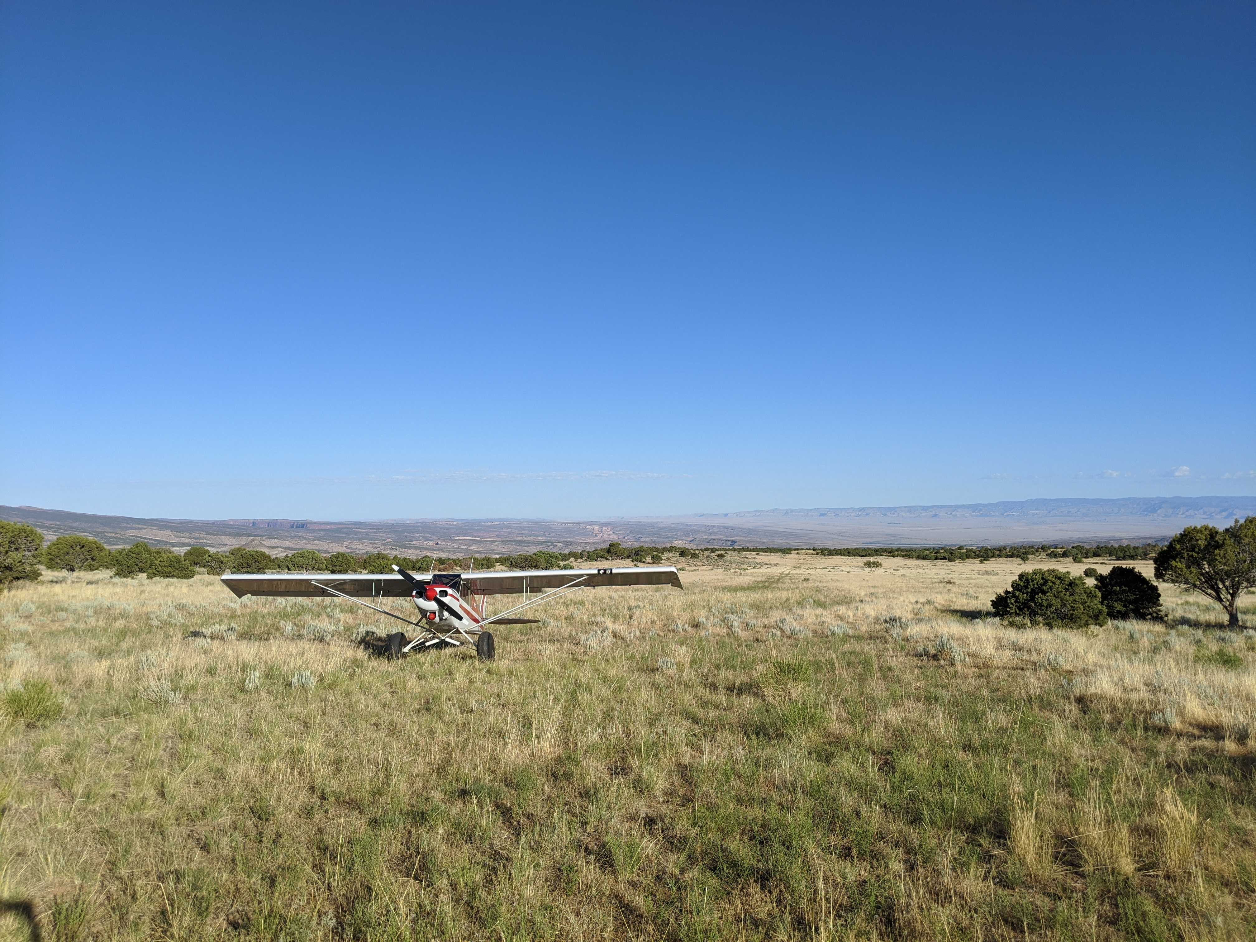
Finally, a backcountry strip on my side of the state. It's just a 20 minute flight from the Hurricane airport rather than the two hours it takes to get from here to most of the strips. Unfortunately this strip isn't what one might call prime real estate. When I got there I had trouble identifying it because it looks just like a two-track used by ATVs. As a matter of fact there were a couple of side-by-sides that showed up just before I took off. I finally decided that what I was looking at was indeed the airstrip when I saw a tall white pole that looked like it may have carried a wind sock at one time. The strip is mainly rocky terrain with stones that range from golf ball size to grapefruit and larger size. Very bumpy the say the least. There is short brush and some 10 to 15 feet high juniper trees on either side. There is a noticeable grade with the south end being about 89 feet lower than the north end. About 200 to 300 feet south of the north end there is a slight jog in the strip. My handheld GPS indicated the the north end of the strip is at 37.3255 degrees N latitude and 113.9538 degrees W longitude with and elevation of 4258 feet. The south end of the runway is at 37.3209 degrees N latitude and 113.9586 degrees W longitude with an elevation of 4169 feet. That resolves to magnetic headings of 4 degrees and 220 degrees and an overall length of 2175 feet.