Airstrip Info
| Frequency | 122.90 |
|---|---|
| Elevation | 7538 ft |
| Lat/Long |
39.191, -110.6056 39° 11.46' , -110° 36.336' |
| Runway 15/33 |
2050 ft
x 47 ft
Dirt/Gravel |
| Ownership | BLM |
Weather
See more at the National Weather Center
Information updated November 5, 2019 @ 3:12pm
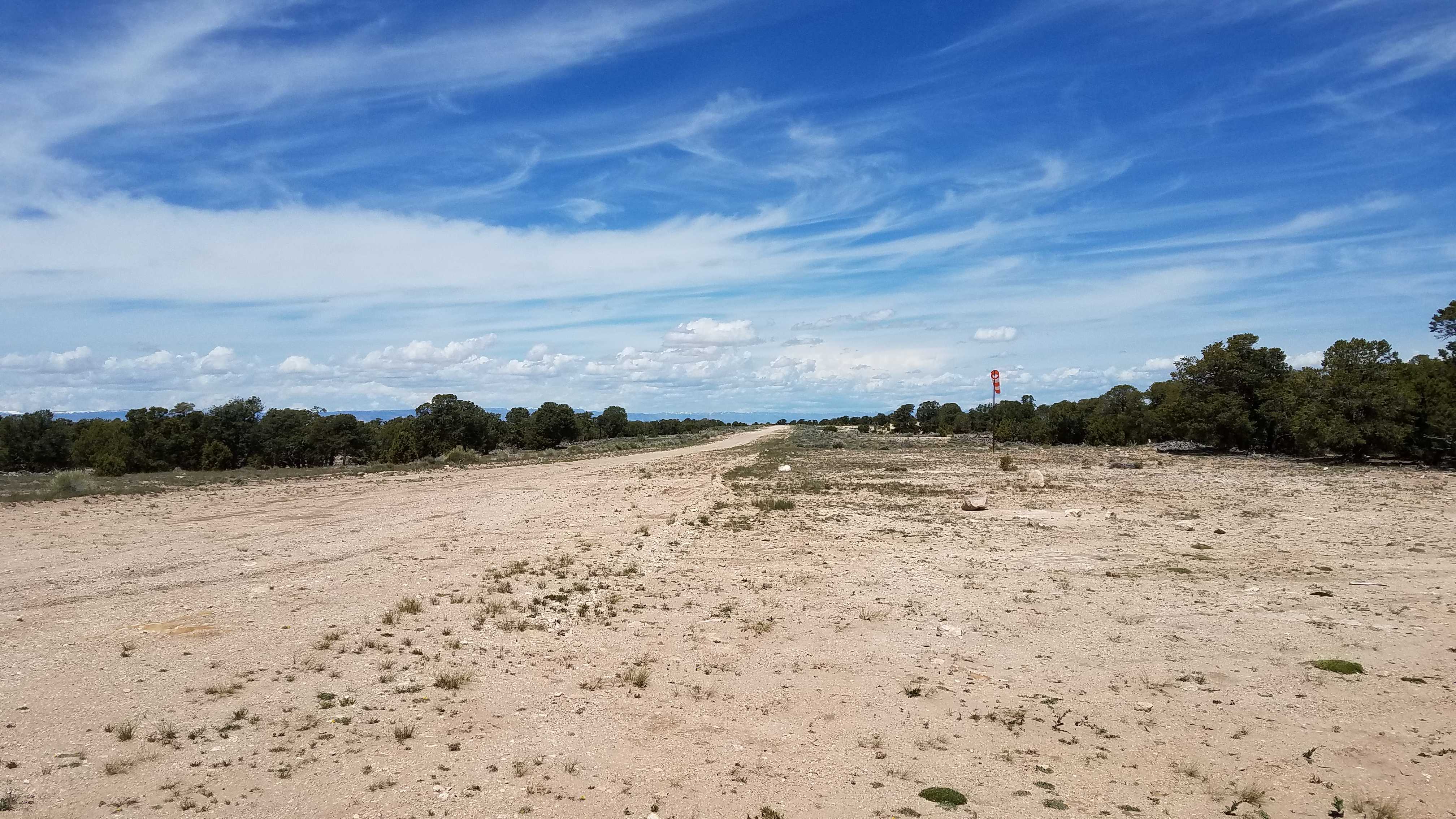
Description: Cedar Mountain's airstrip rests atop the similarly named Cedar Mountain, providing panoramic views of the Wasatch Plateau, Book Cliffs, Henry and La Sal Mountains.
Runway: 2000 feet long x 40 feet wide, well maintained gravel and dirt.
Approach Considerations: Southern end of the runway ends with a nice 1,500 feet vertical drop. Runway slopes to the south.
Amenities: None
Windsock: None
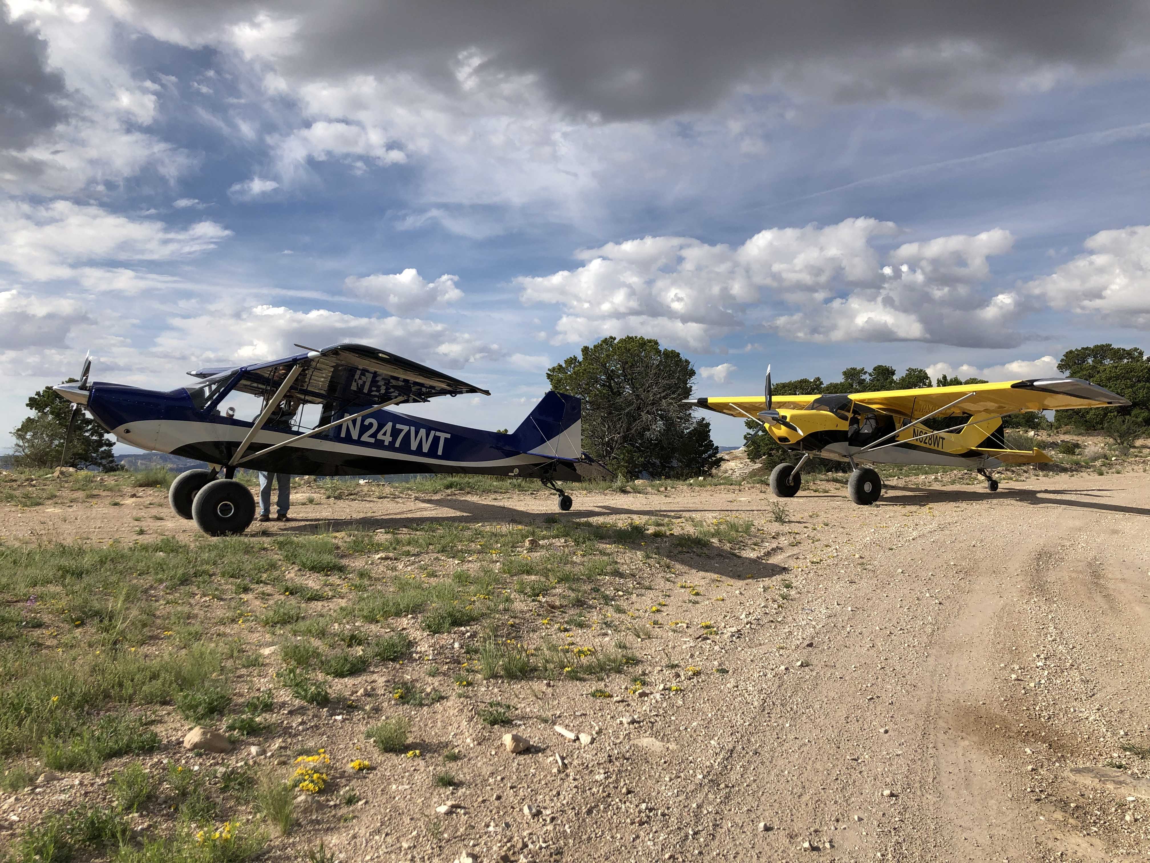
I flew low over the airstrip. There were multiple ruts along most of the runway. It looked like a skilled pilot might be able to land between the ruts. Instead of relying on the skill that I may not have, I chose to rely on judgment, and didn't land. The damage is probably best repaired with a grader.
We haven't written a history for this airstrip yet. If you would like to provide us with some information about this strip, please contact us today!