Airstrip Info
| Frequency | 122.90 |
|---|---|
| Elevation | 7538 ft |
| Lat/Long |
39.191, -110.6056 39° 11.46' , -110° 36.336' |
| Runway 15/33 |
2050 ft
x 47 ft
Dirt/Gravel |
| Ownership | BLM |
Weather
See more at the National Weather Center
Information updated November 5, 2019 @ 3:12pm
Description: Cedar Mountain's airstrip rests atop the similarly named Cedar Mountain, providing panoramic views of the Wasatch Plateau, Book Cliffs, Henry and La Sal Mountains.
Runway: 2000 feet long x 40 feet wide, well maintained gravel and dirt.
Approach Considerations: Southern end of the runway ends with a nice 1,500 feet vertical drop. Runway slopes to the south.
Amenities: None
Windsock: None
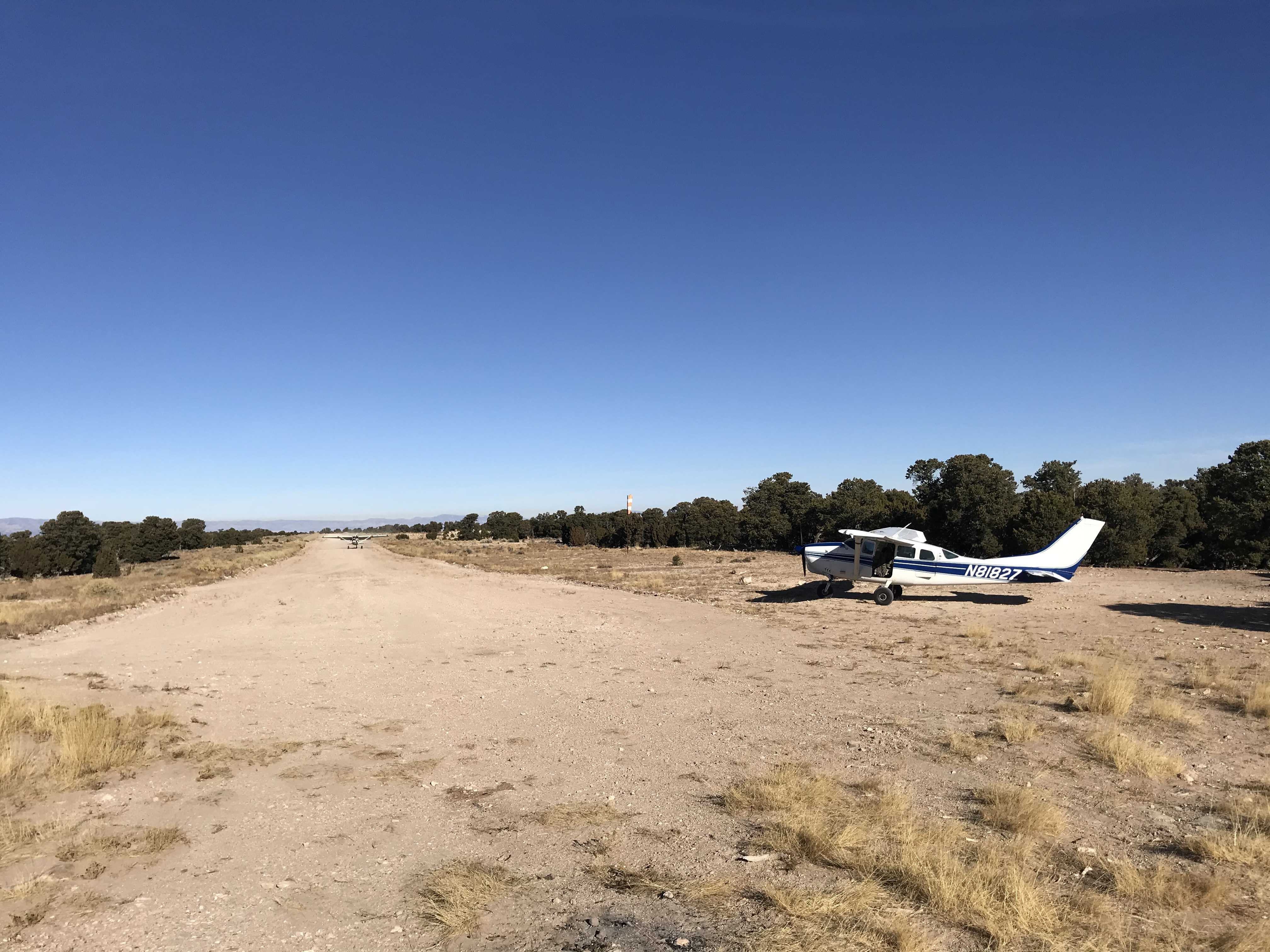
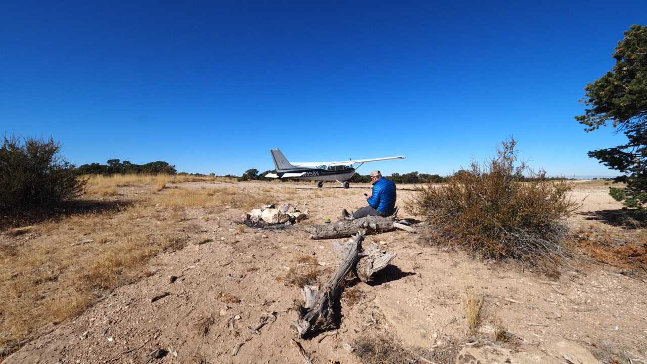
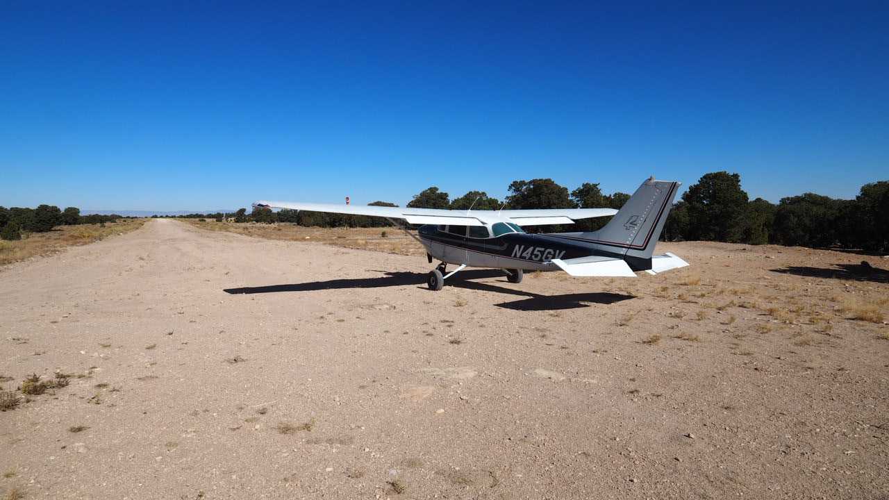
If possible, recommend landing uphill on 13. Wind favored 13 this day. If landing 31, keep in mind that the far end of 31 (apch end of 13) is steeper, so if you’re long landing 31, you’ll be downhill quickly. That said, the runway is long and wide. Must have been graded recently ... very smooth. High altitude strip at 7538’, so DA can be a problem. Good campsites off the N side of runway. Very nice strip.
We haven't written a history for this airstrip yet. If you would like to provide us with some information about this strip, please contact us today!