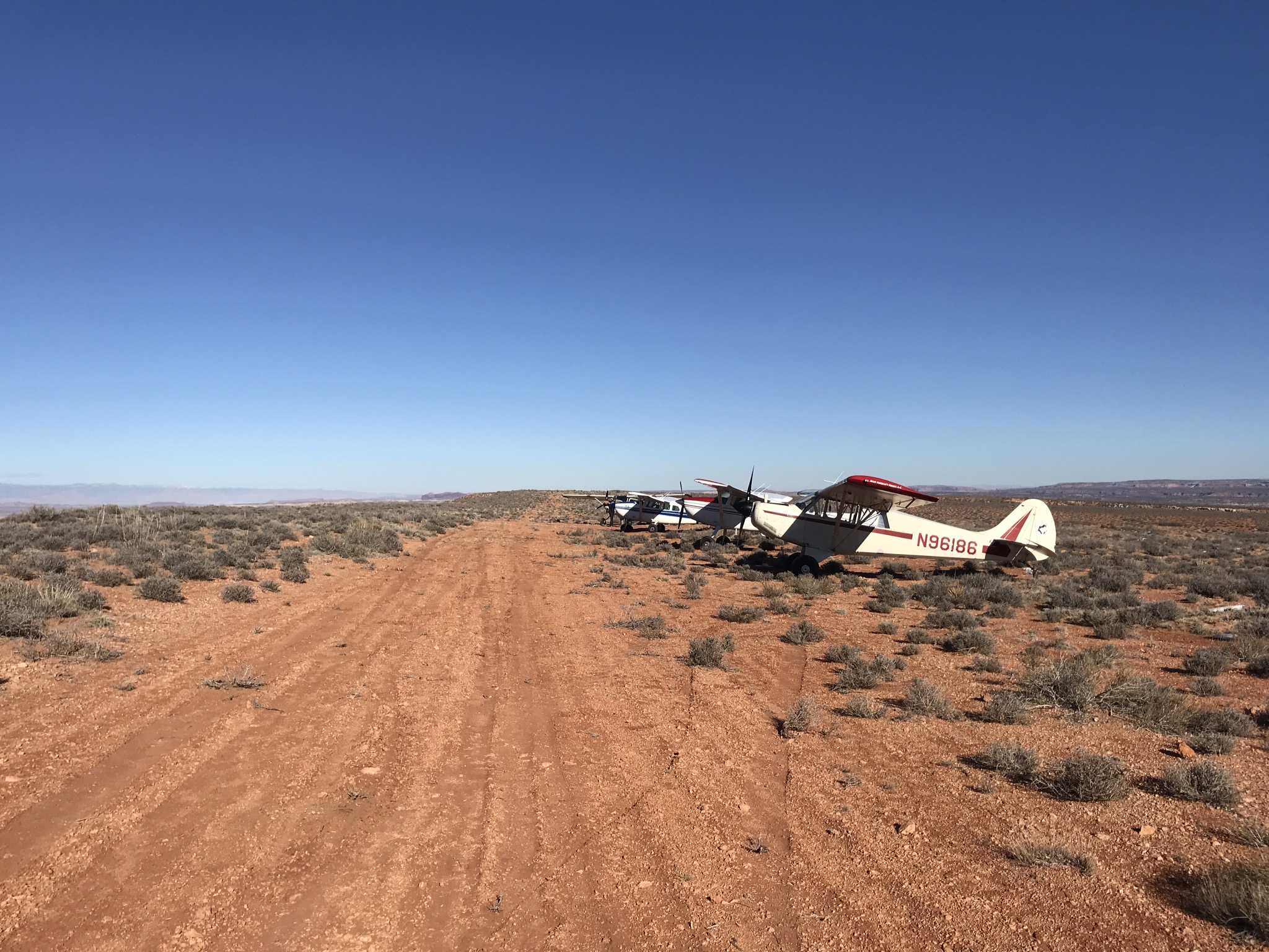
Airstrip Info
| Frequency | 122.90 |
|---|---|
| Elevation | 5244 ft |
| Lat/Long |
38.5675, -110.1005 38° 34.05' , -110° 6.03' |
| Runway 05/23 |
1200 ft
x 12 ft
Soft Dirt / Brush |
| Ownership | BLM |
Weather
See more at the National Weather Center
Information updated November 5, 2019 @ 3:13pm
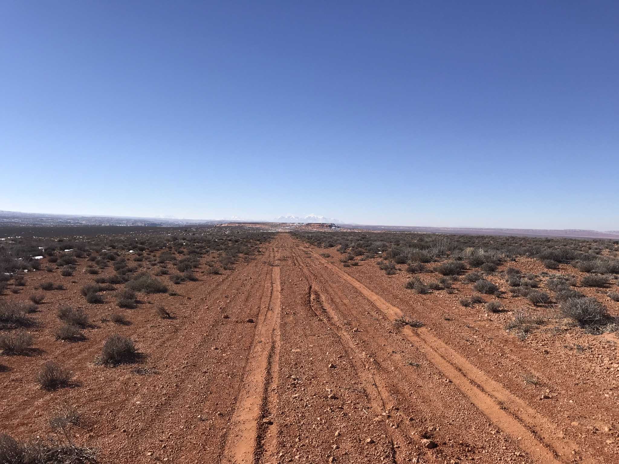
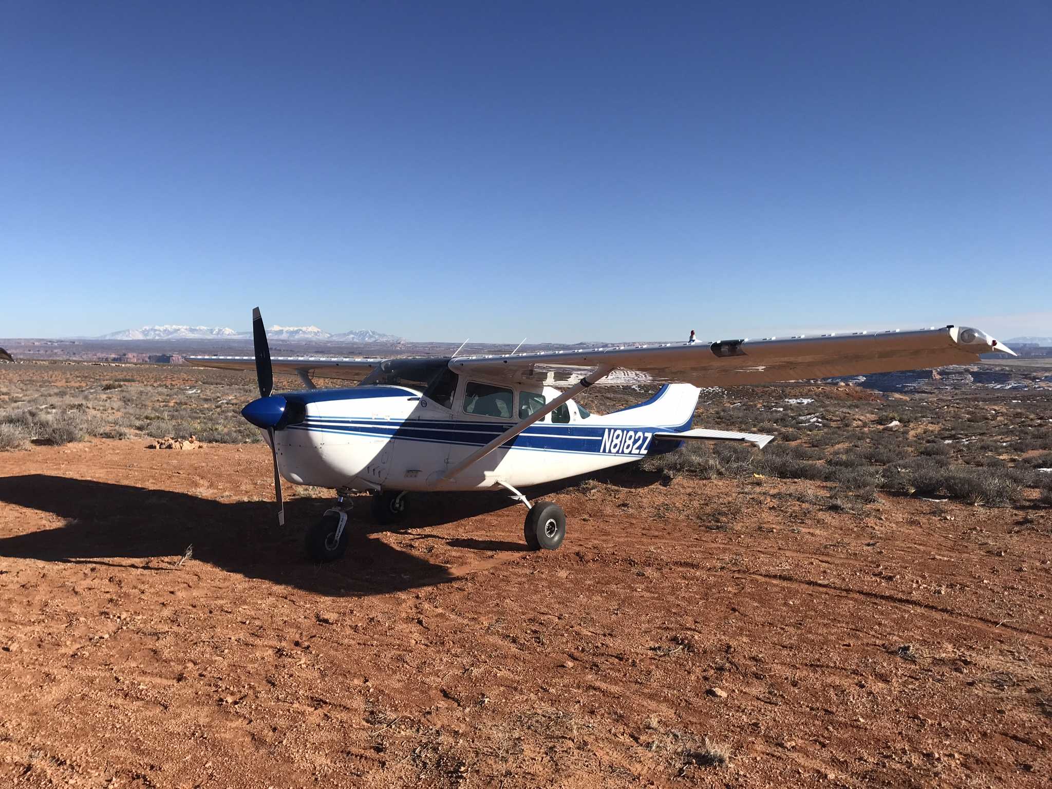
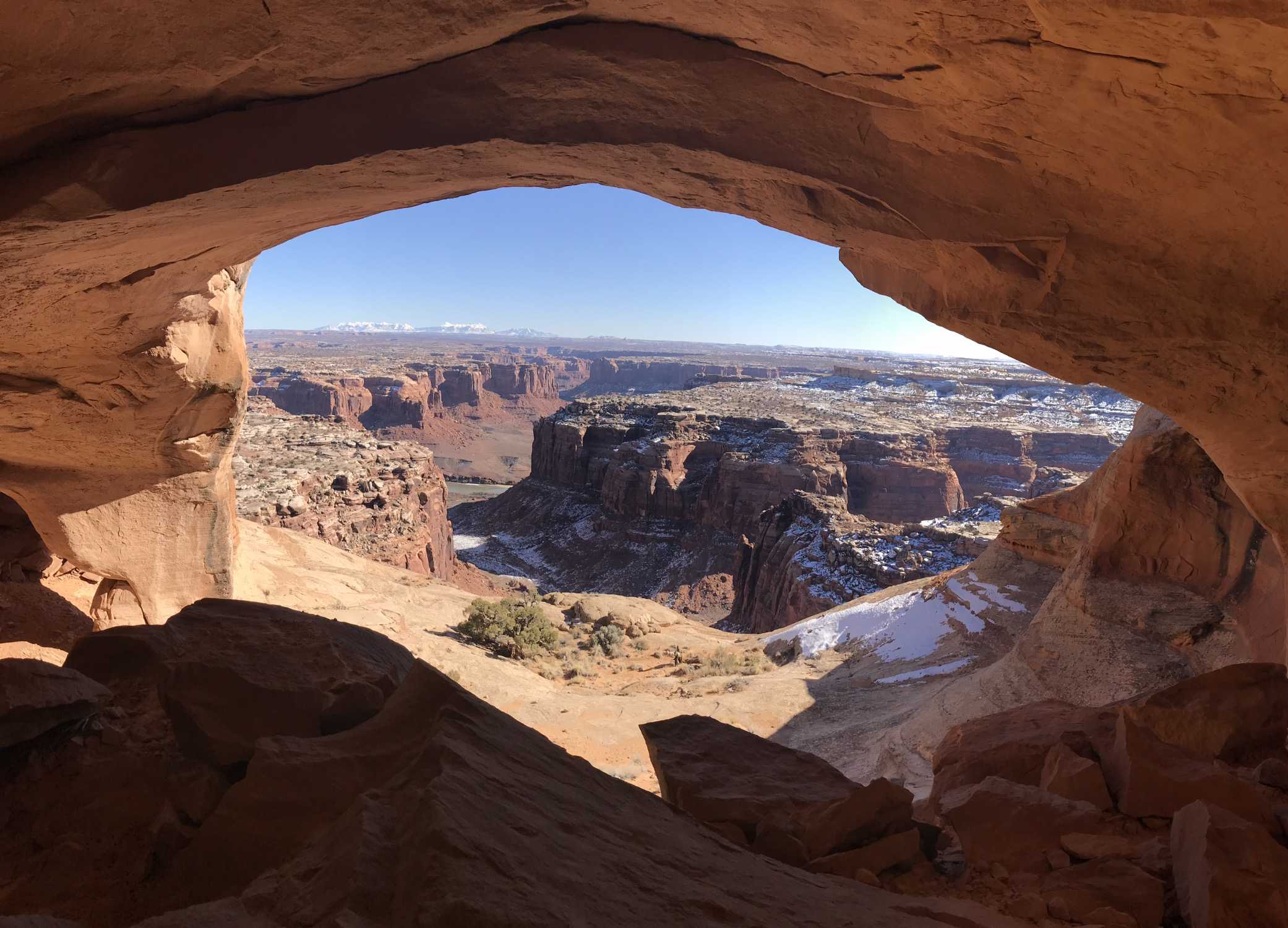
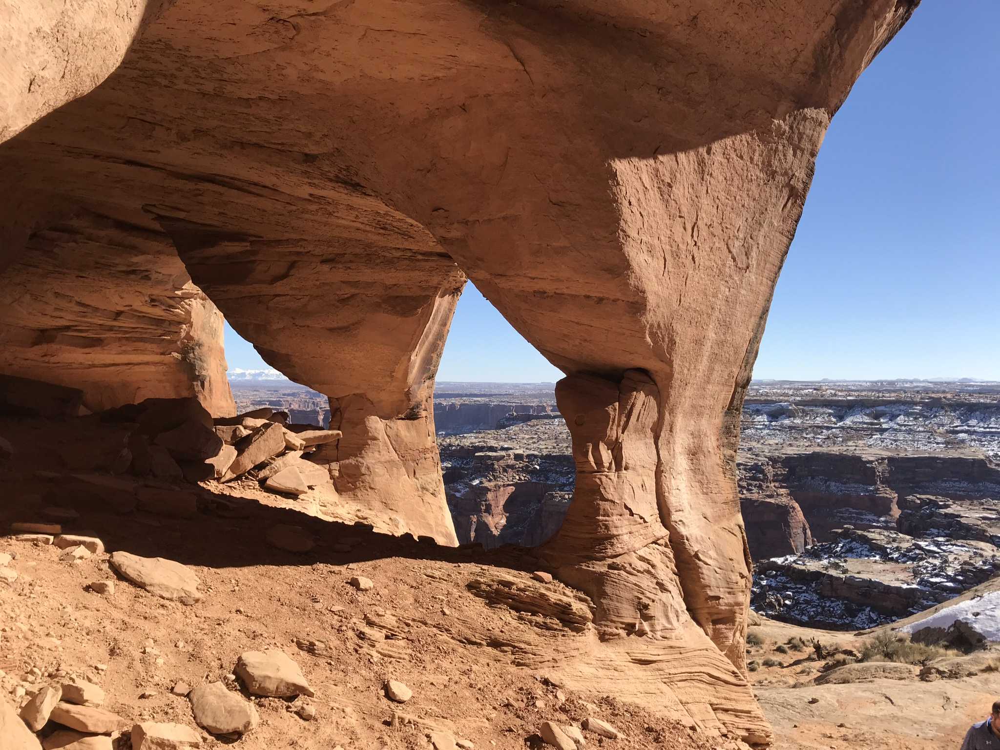
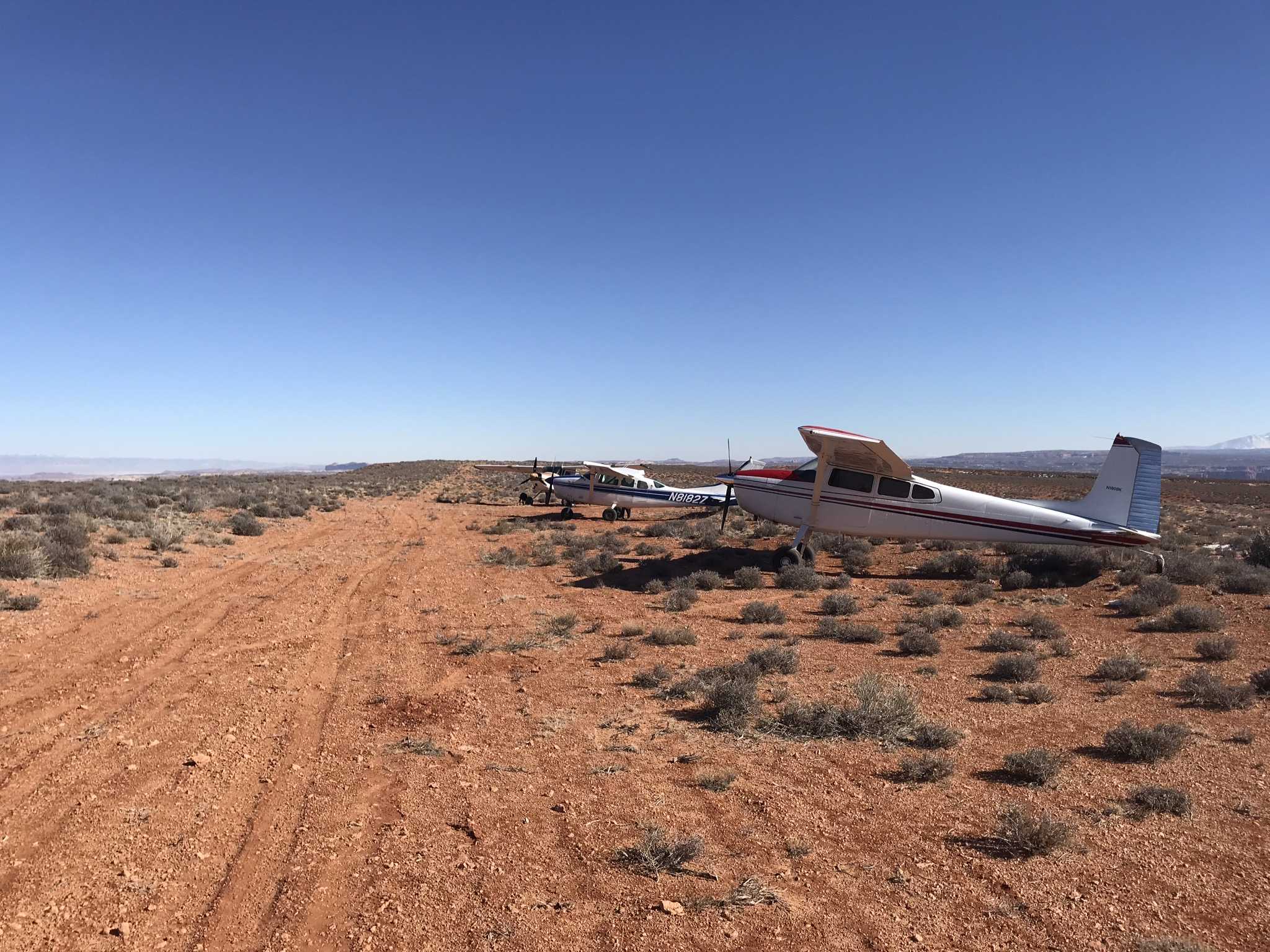
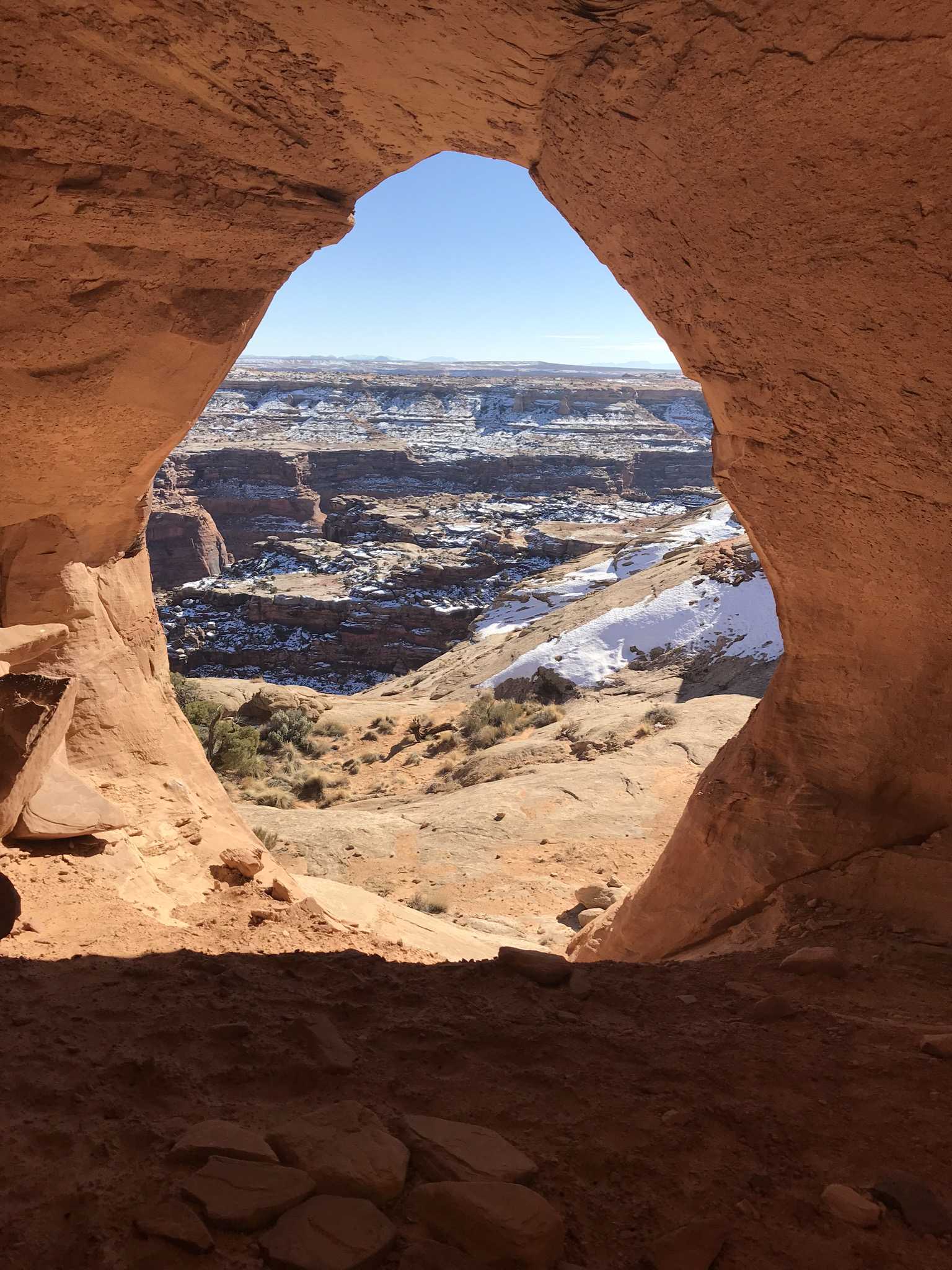
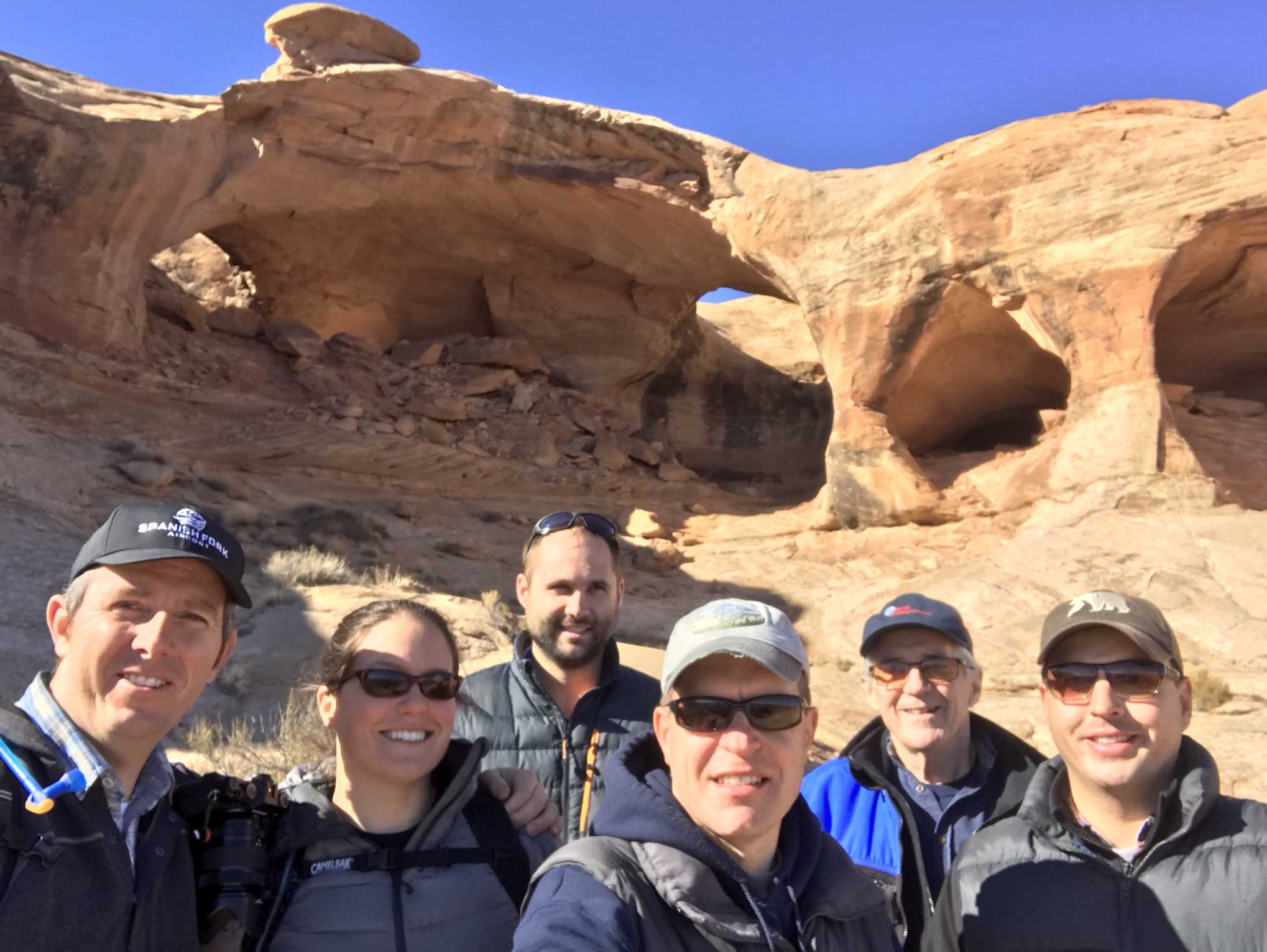
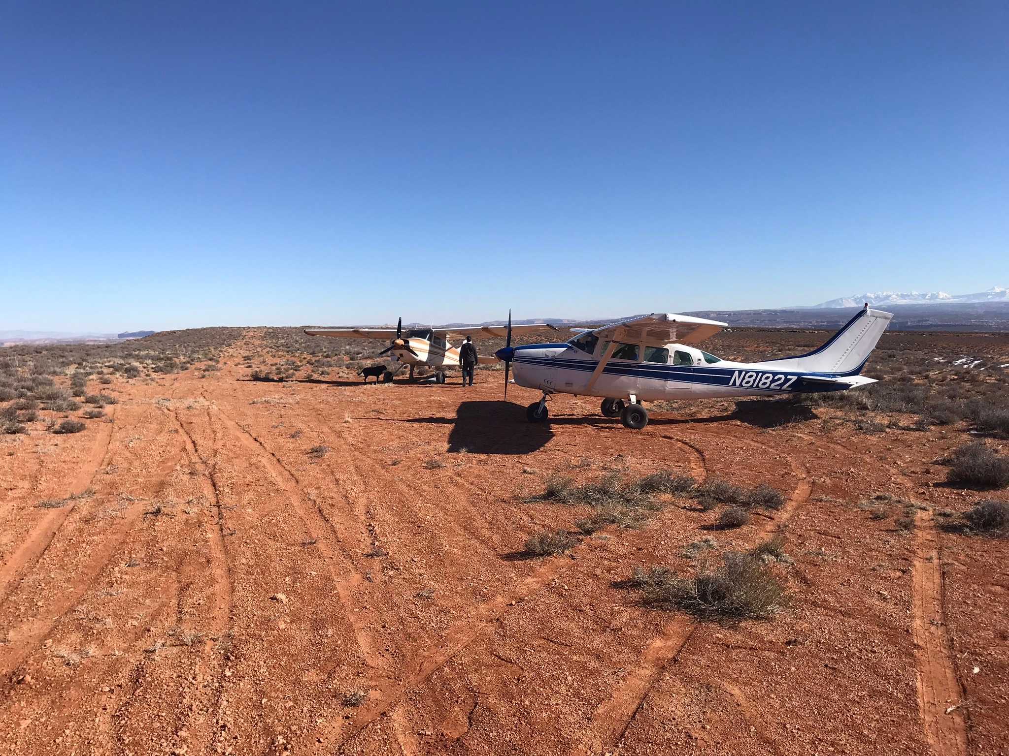
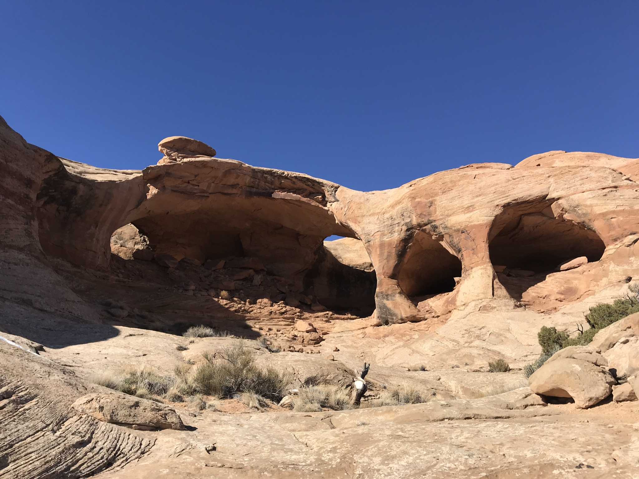
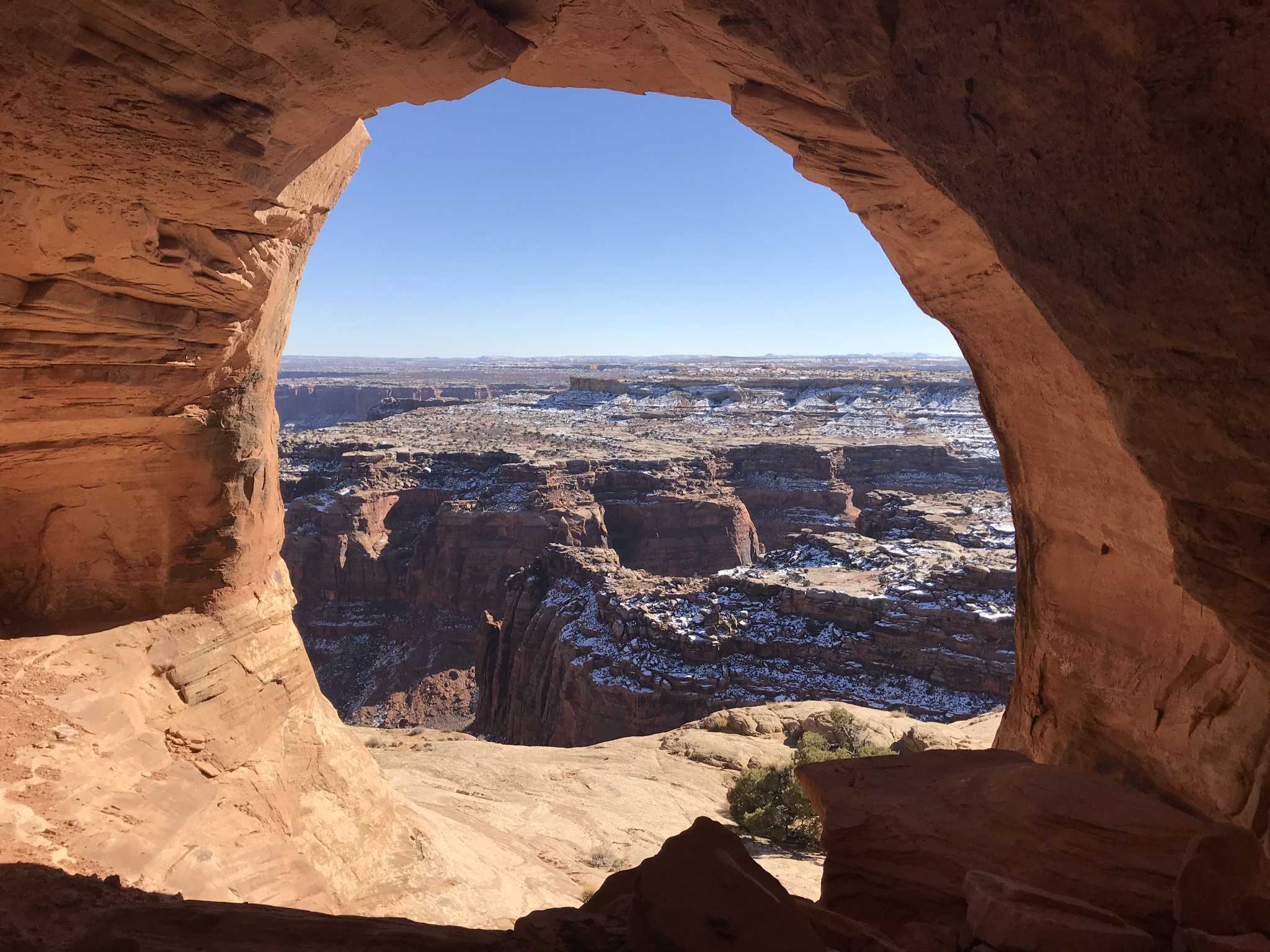
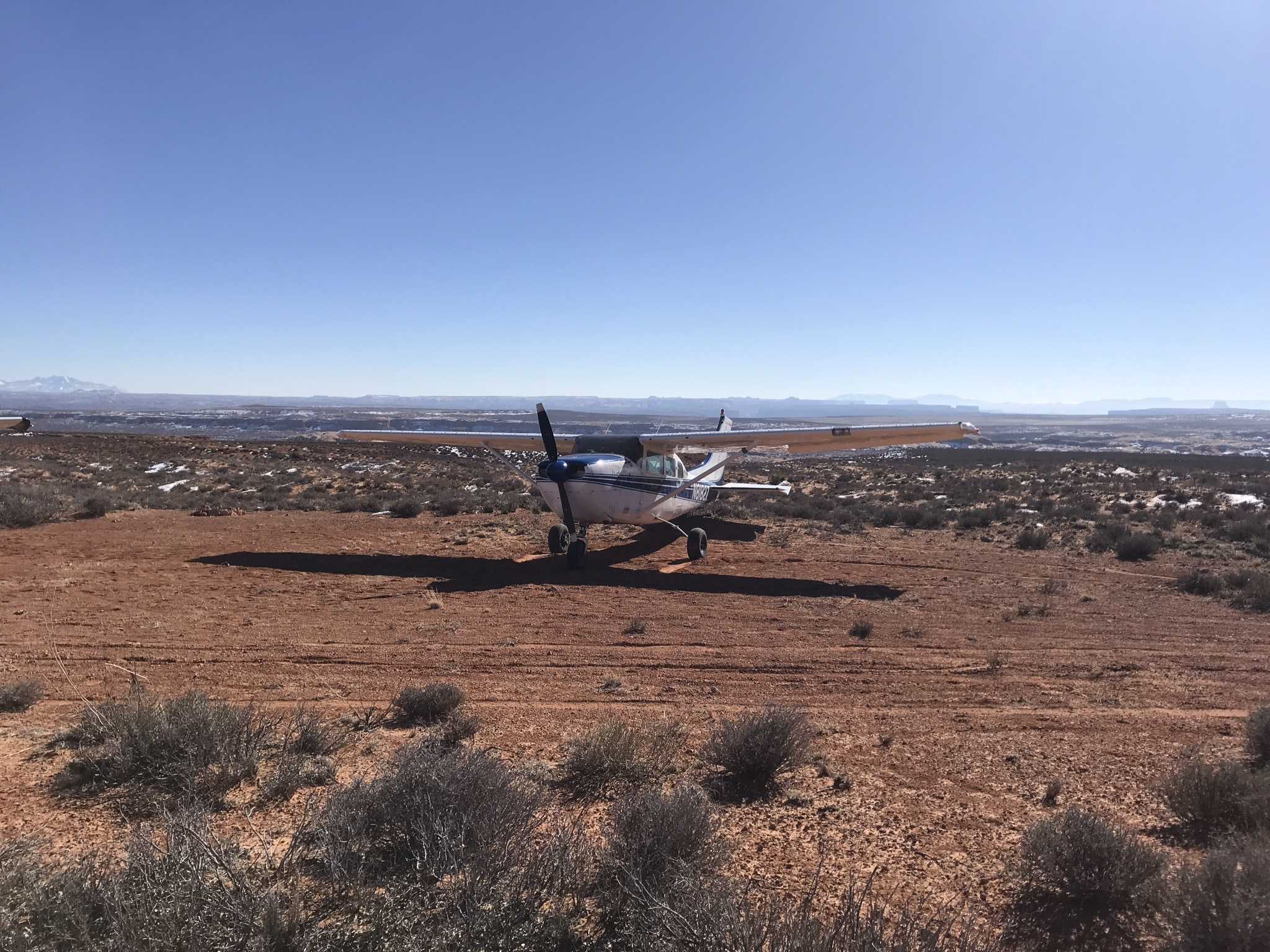
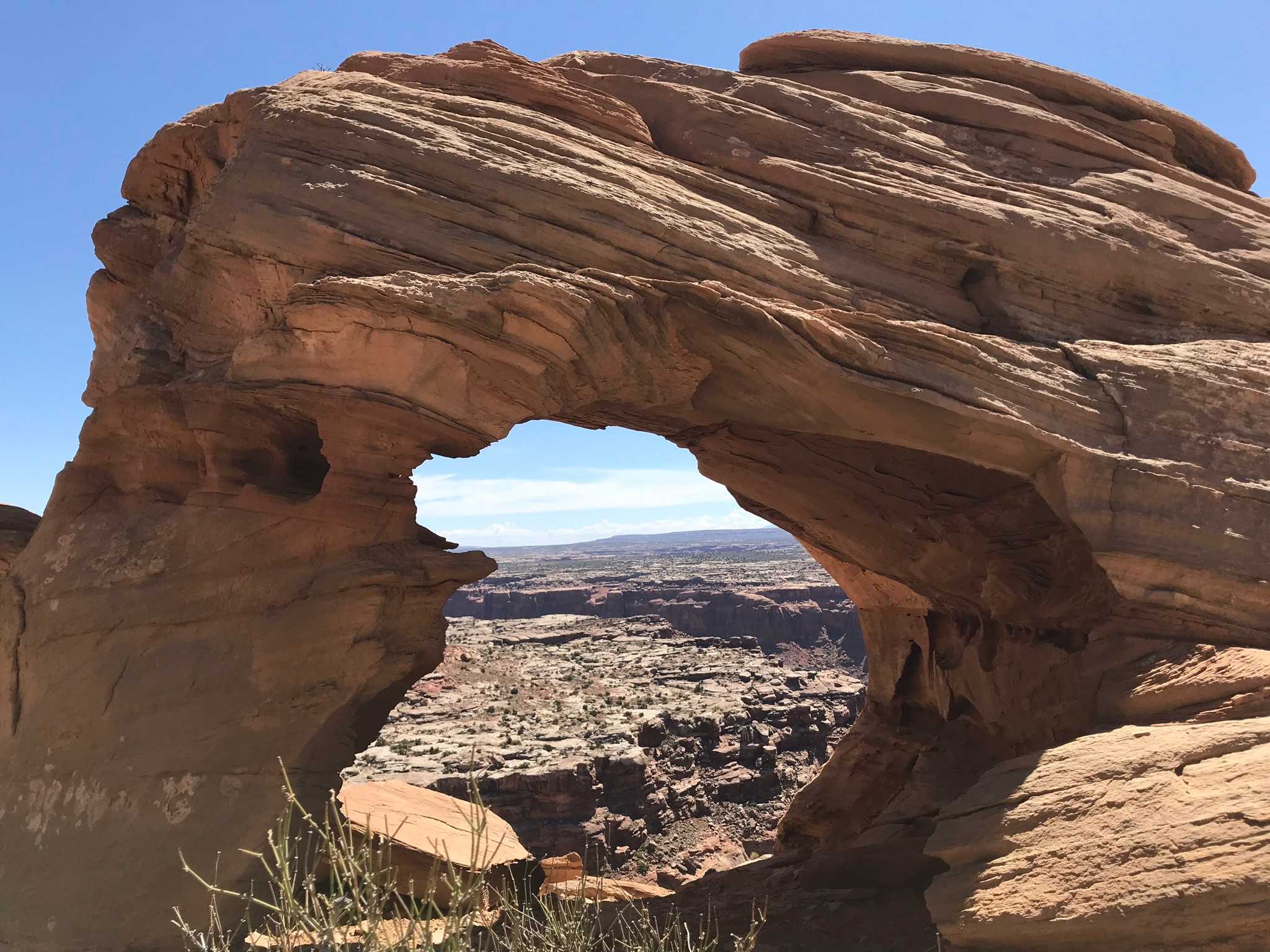
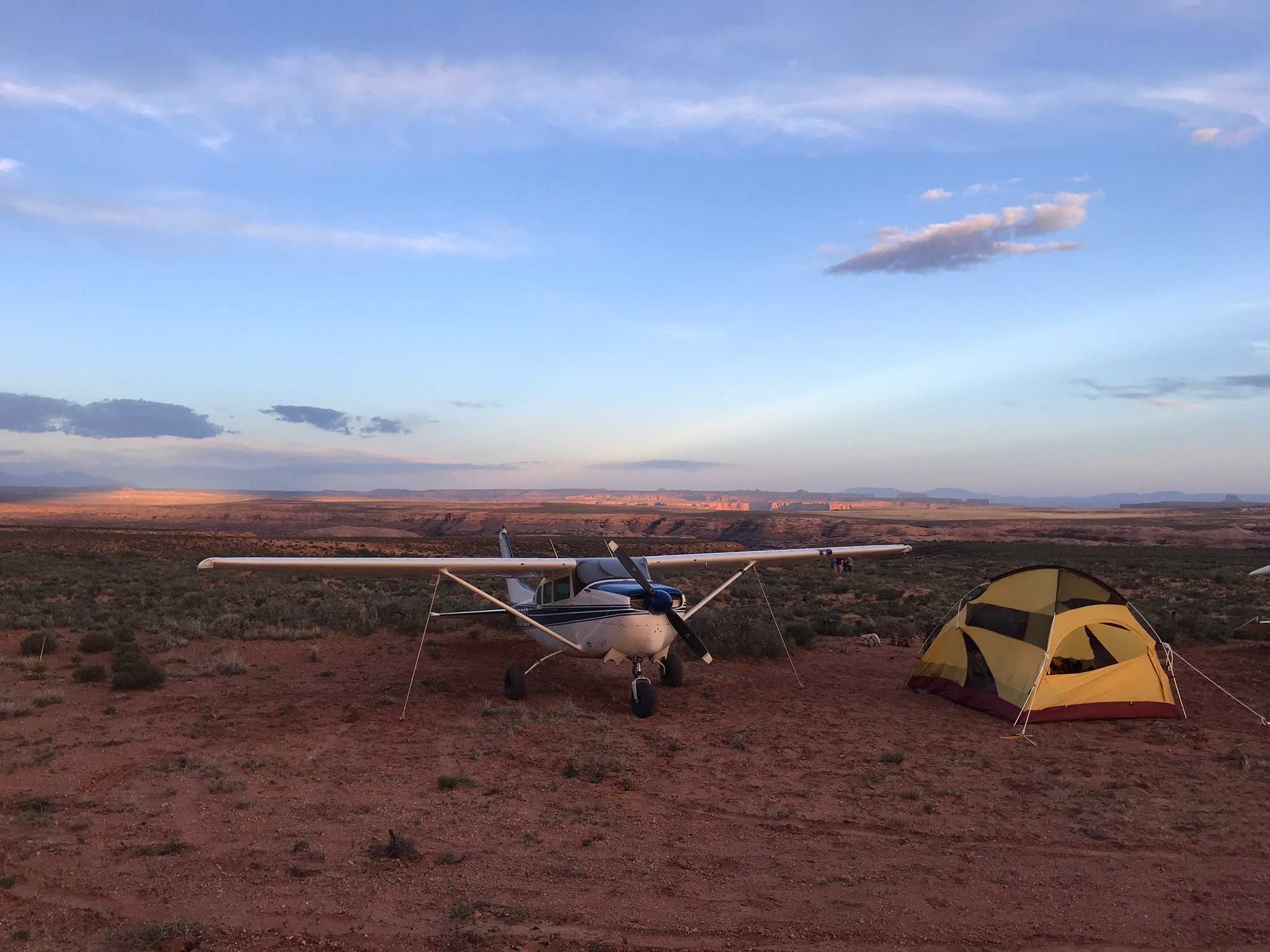
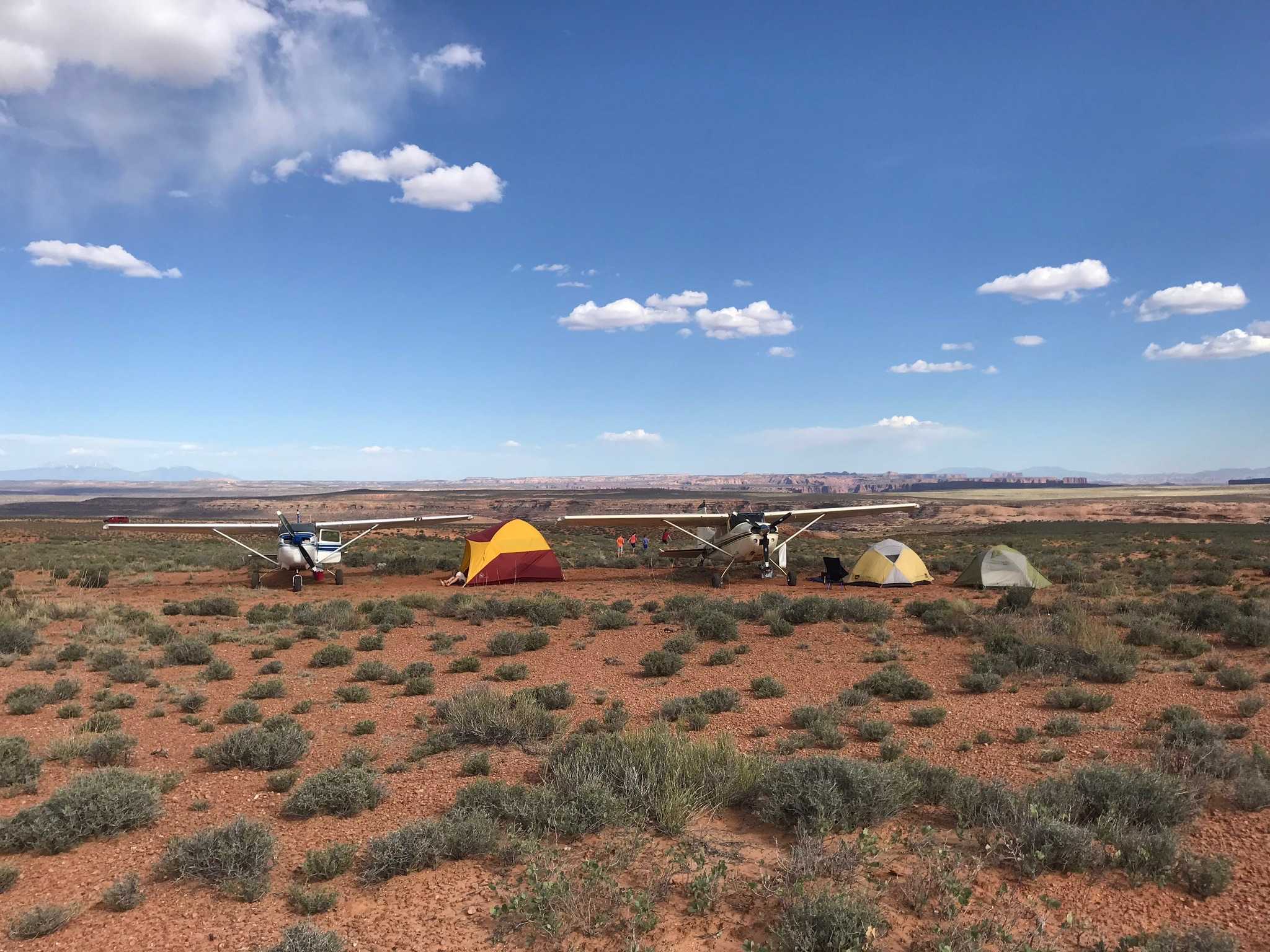
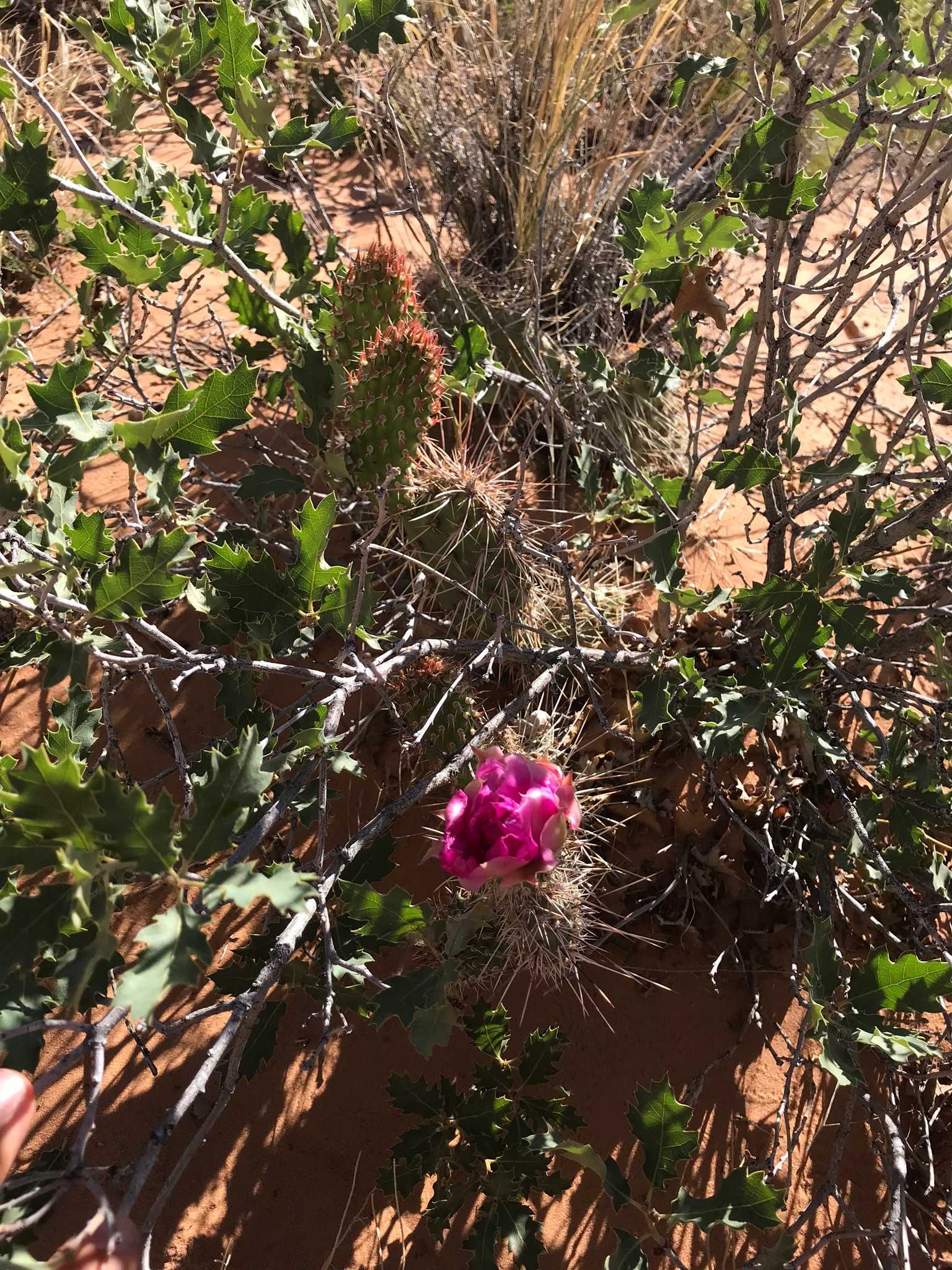
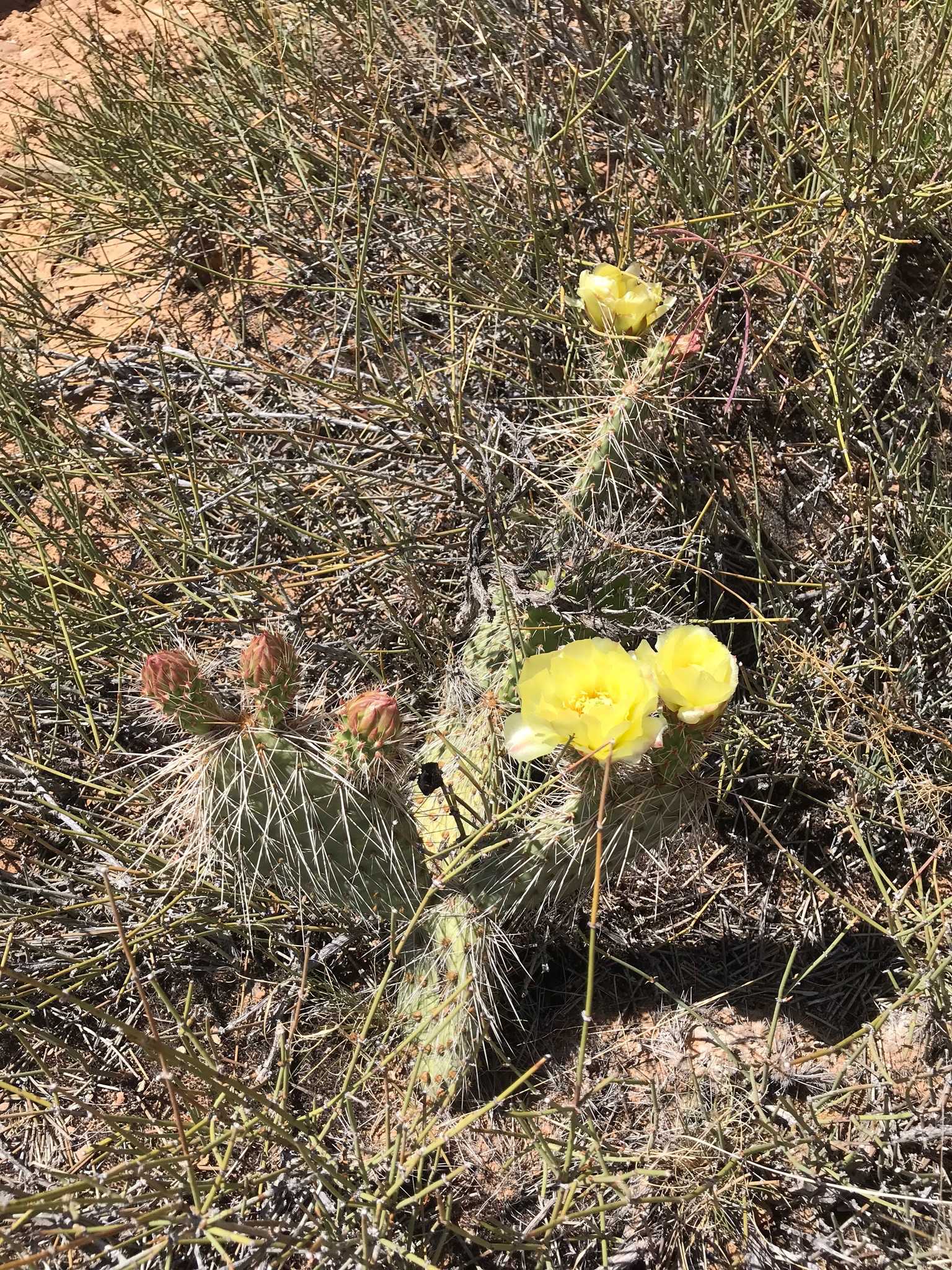
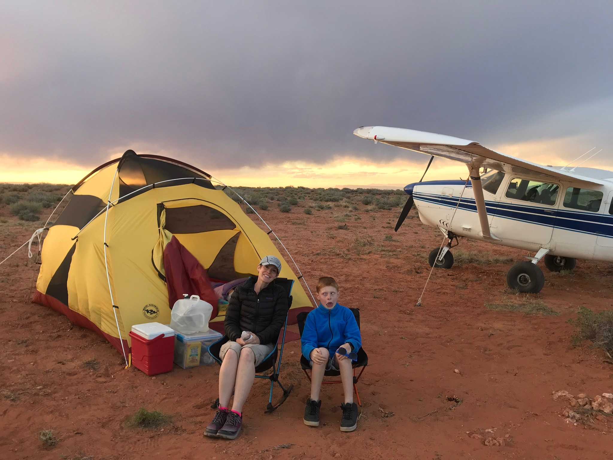
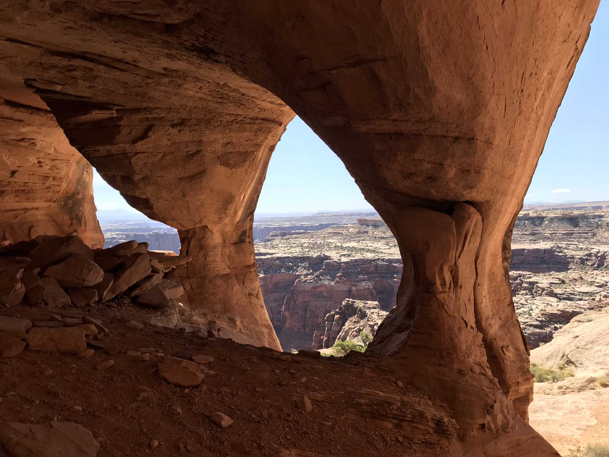
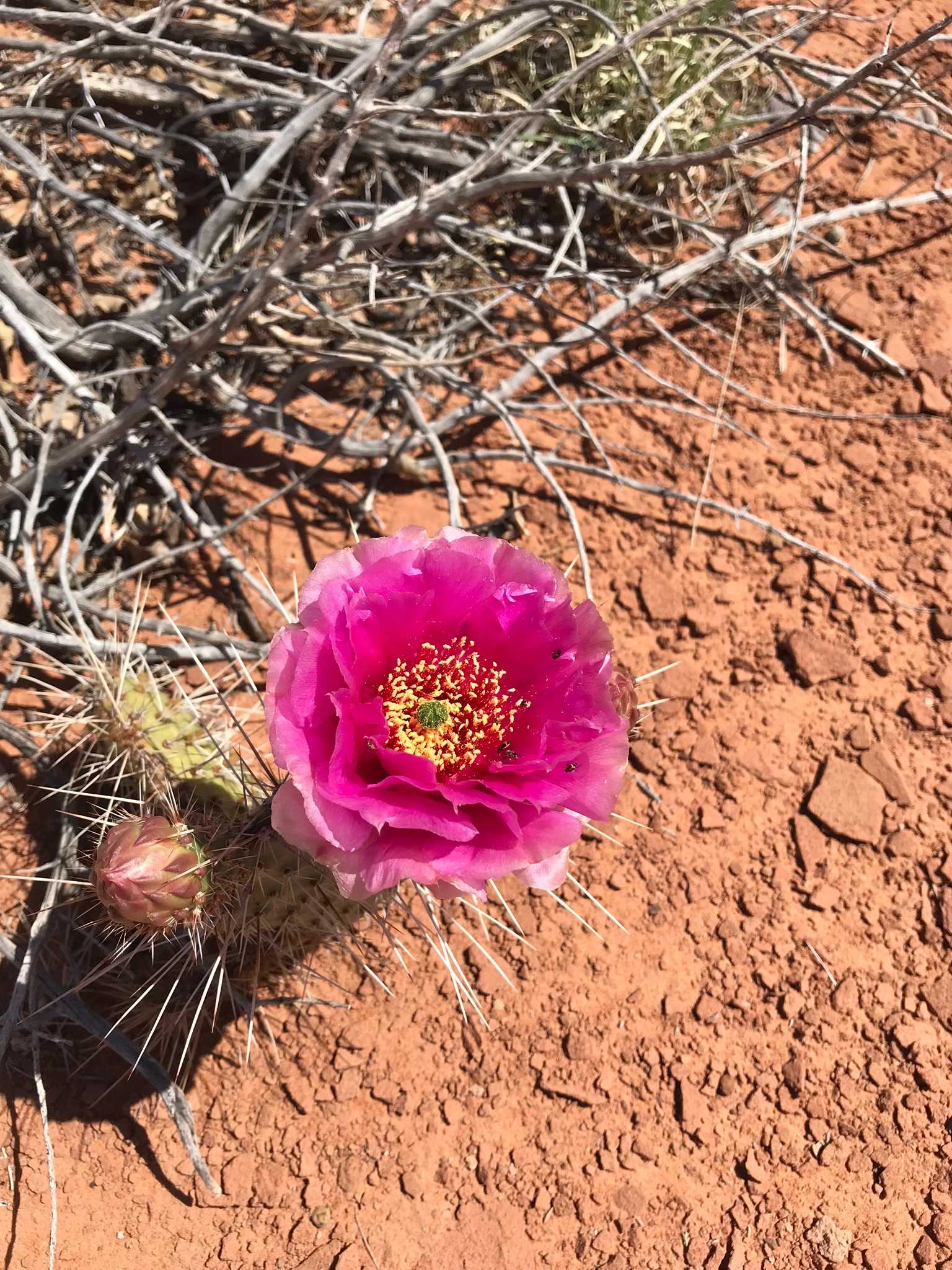
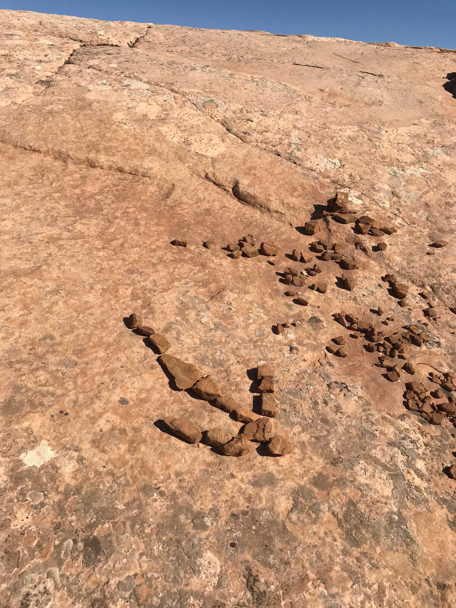
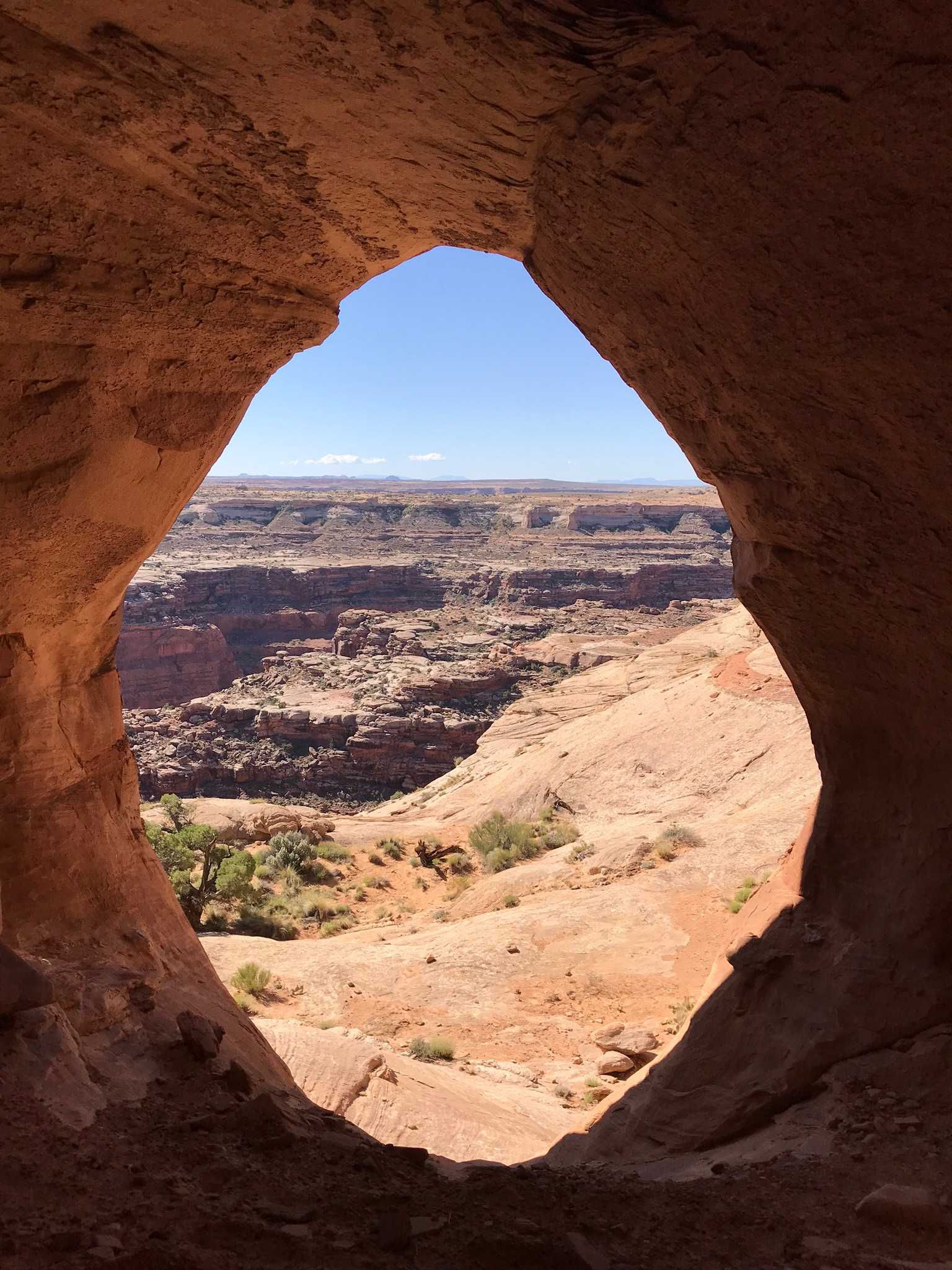
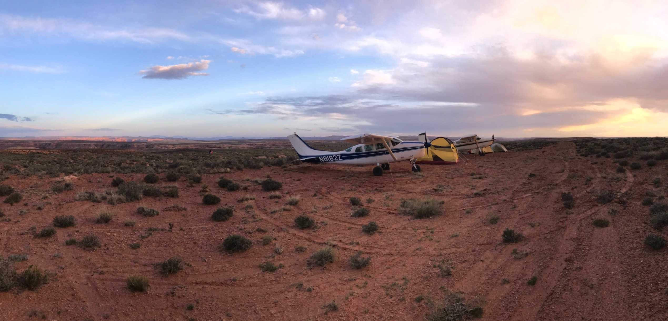
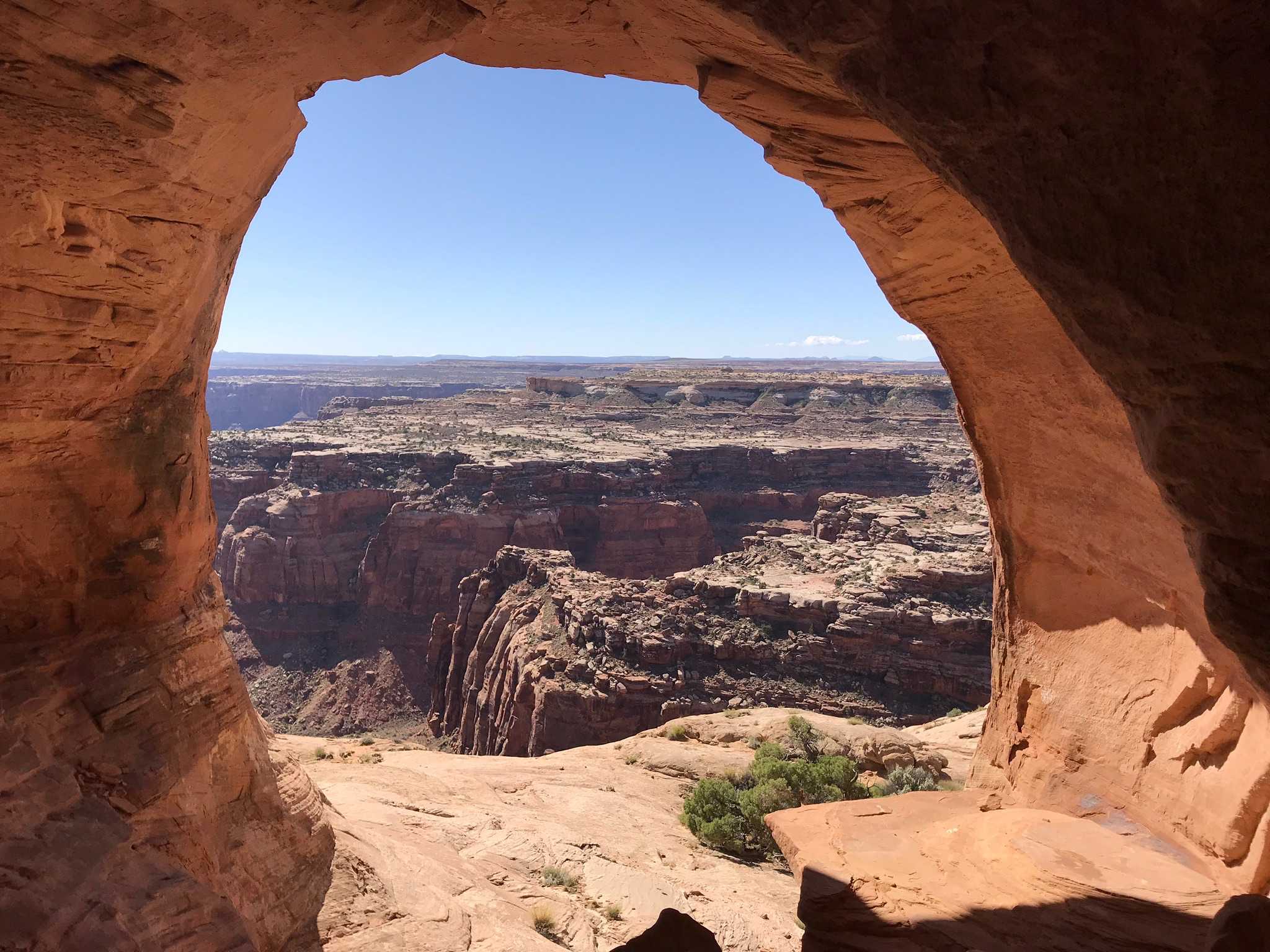
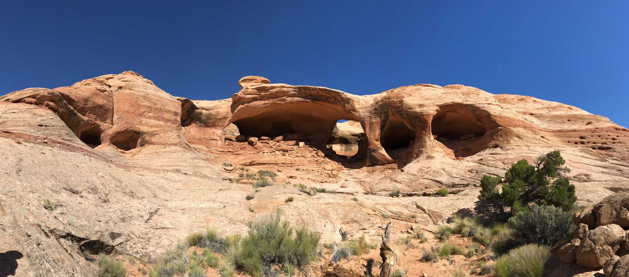
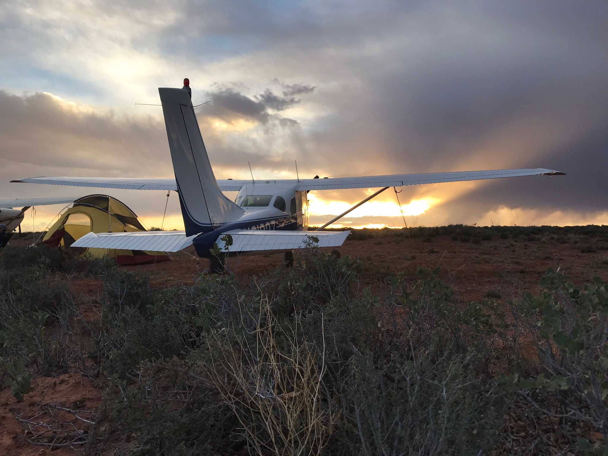
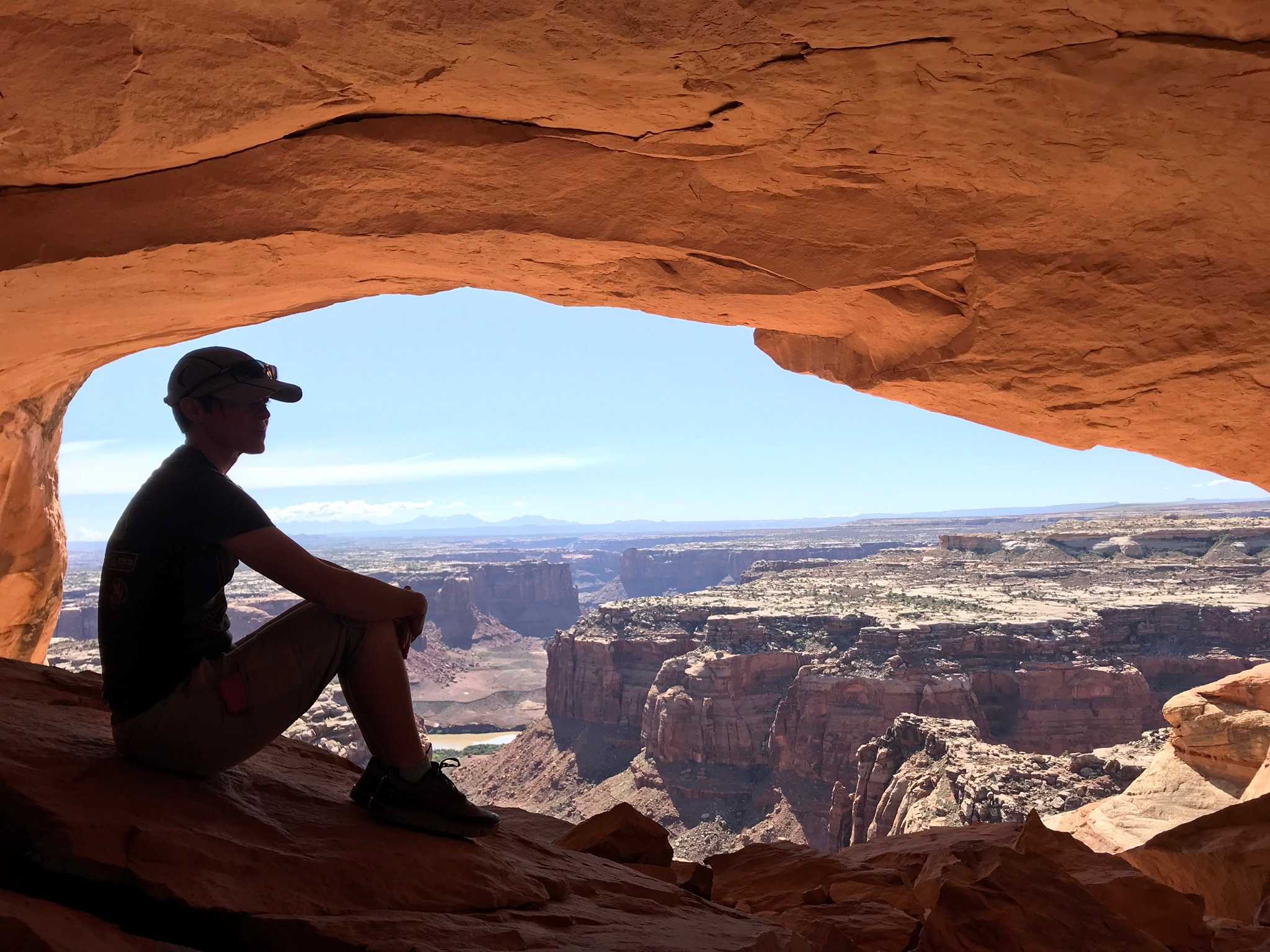
Description: Keg Knoll's airstrip is quite soft and covered with brush. Access point for Colonnade Arch (Five Hole Arch) trail. This airstrip is one of the airstrips that has been included in the Emery County Public Land Management Act of 2019 residing in the proposed Labyrinth Canyon Wilderness Area. The UBCP is currently working with our contacts at the BLM and the County regarding access to this airstrip.
Runway: Roughly 1800 ft long x 18 ft wide dirt runway in good condition. Slopes uphill slightly to the east. Last 1,000 feet or so on the east end more clear than the west end. Definitely a soft runway that is covered with brush.
Approach Considerations: Typically land uphill to the east and depart downhill to the west.
Amenities: None. Slight parking area south of landing surface on the east end.
Windsock: No.

We haven't written a history for this airstrip yet. If you would like to provide us with some information about this strip, please contact us today!