Airstrip Info
| Frequency | 122.90 |
|---|---|
| Elevation | 5372 ft |
| Lat/Long |
37.6515, -110.1709 37° 39.09' , -110° 10.254' |
| Runway 14/32 |
3400 ft
x 80 ft
Dirt |
| Ownership | BLM NM |
Amenities
Weather
See more at the National Weather Center
Information updated November 5, 2019 @ 6:34pm
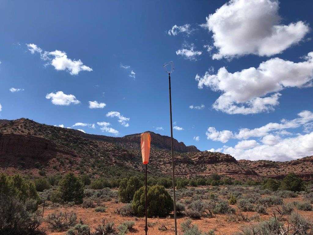
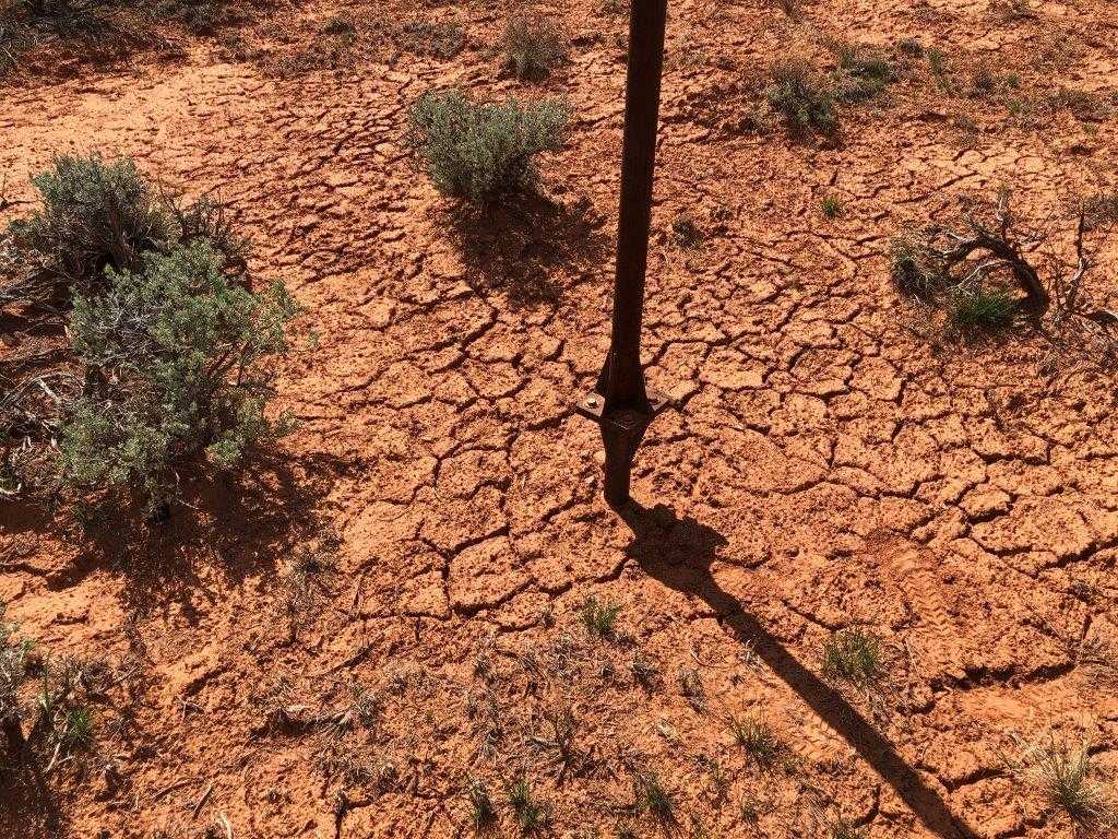
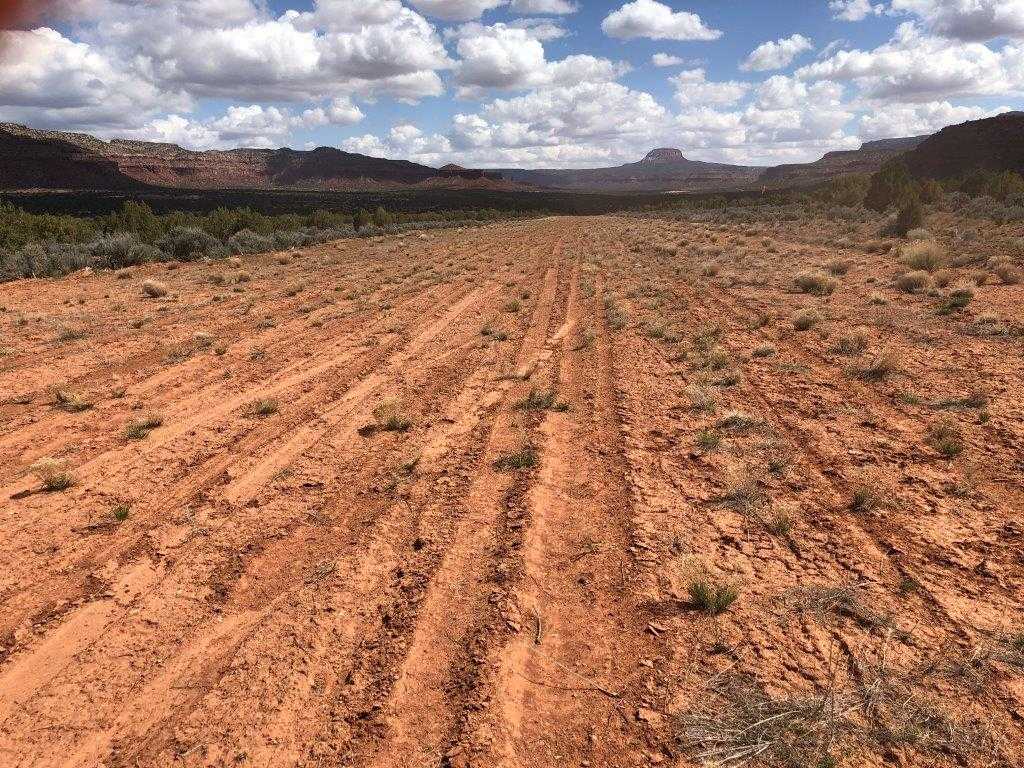
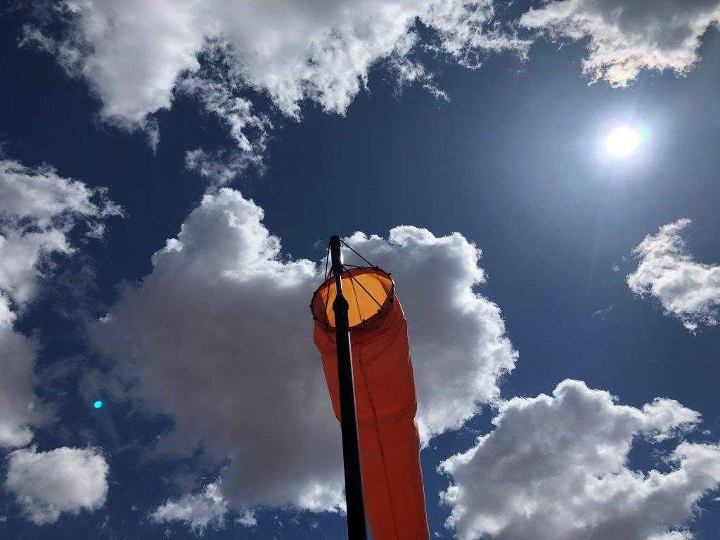
RWY 30 is uphill 1.70%. Caution: RWY 30 has a displaced threshold and is uphill. When conditions allow, it's recommended to land uphill on RWY 30 and to take-off down hill on 12. When landing on RWY 30, land just past the road that crosses the airstrip. Approximately 2,382 ft of the airstrip are NW/up-hill of the road. Usually, airplanes are able to taxi across the road to park downhill from the airstrip. The airstrip is not usable when wet. There is a slot canyon to explore nearby and Anasazi ruins across the canyon. The runway was bladed in 2012. On a 4-3-19 visit it was obvious airplanes had been visiting the airstrip. The windsock was in great condition and for the most part, the airstrip to the NW of the road was smooth with a few small bushes starting.
We were passing by on the highway so we stopped to inspect the airstrip. As long as you treat the road as a displaced threshold and land to the NW it is in good condition. The SE side would be a bit rough for most airplanes. There are a few bushes starting to grow that most pilots would want to avoid but they are sparse enough so you can do so. The sign that used to warn motorists about the runway is no longer visible but was still standing. We did see a piece of thick rusty wire on the runway
We haven't written a history for this airstrip yet. If you would like to provide us with some information about this strip, please contact us today!