Airstrip Info
| Frequency | 122.90 |
|---|---|
| Elevation | 4768 ft |
| Lat/Long |
41.16, -112.3333 41° 9.6' , -112° 19.998' |
| Runway 15/33 |
1900 ft
x 10 ft
Dirt |
| Ownership | Private |
Weather
See more at the National Weather Center
Information updated June 4, 2020 @ 9:16pm
PRIOR PERMISSION REQUIRED
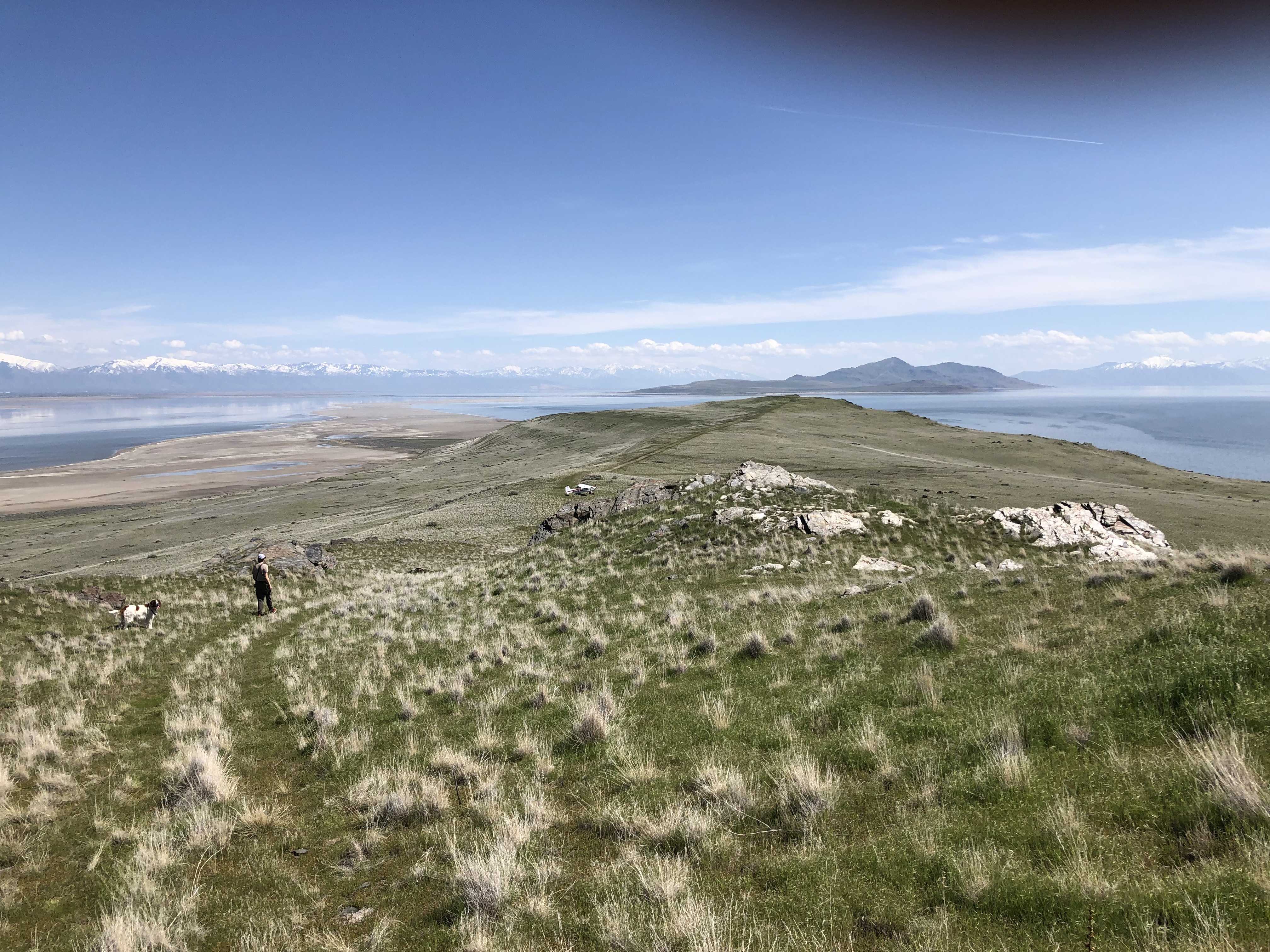
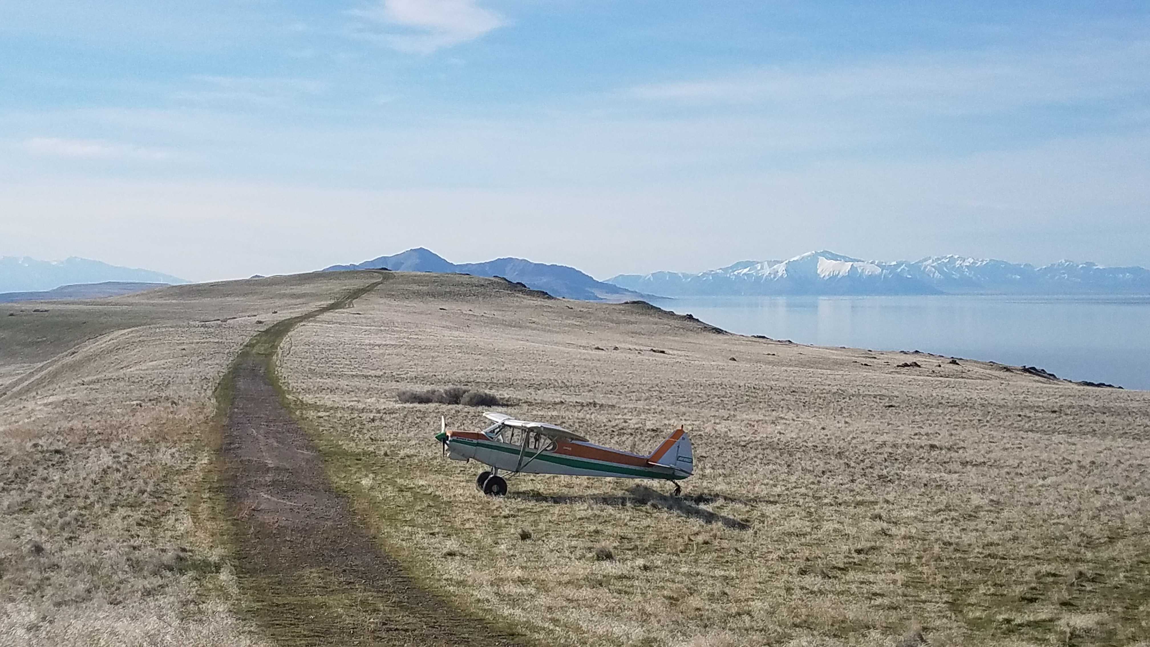
Description: Fremont Island's upper airstrip rests along a ridge that slopes up at both ends, and has downward sloping terrain on both sides of the runway. The airstrip resides on the privately-owned island, who's owners have granted us permission to use provided we use the two approved airstrips on the island ONLY, this one and the lower strip.
Runway: 1900 ft long x 10 ft wide dirt runway that was once a four wheel drive trail that is in good condition. Slopes uphill on both ends. First 500' from the south is rocky.
Approach Considerations: Weather station on the south end of the runway. Typically land to the north and depart to the south.\r\n\r\nAmenities: None.\r\n\r\nWindsock: Yes, located west of the runway at the north end.
We haven't written a history for this airstrip yet. If you would like to provide us with some information about this strip, please contact us today!