Airstrip Info
| Frequency | 122.90 |
|---|---|
| Elevation | 4215 ft |
| Lat/Long |
41.1757, -112.3808 41° 10.542' , -112° 22.848' |
| Runway 09/27 |
2000 ft
x 10 ft
Dirt |
| Ownership | Private |
Weather
See more at the National Weather Center
Information updated June 4, 2020 @ 9:16pm
PRIOR PERMISSION REQUIRED
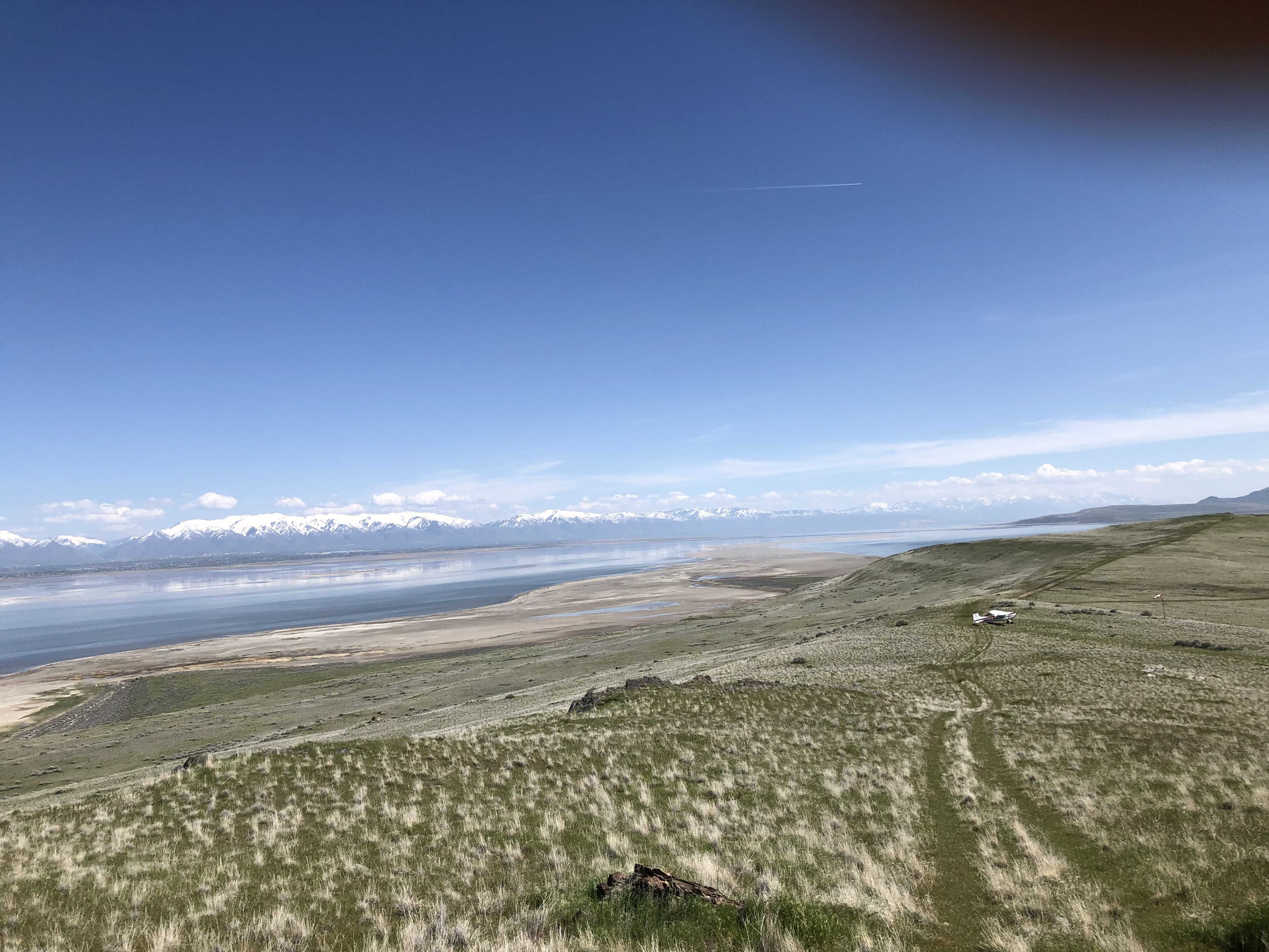
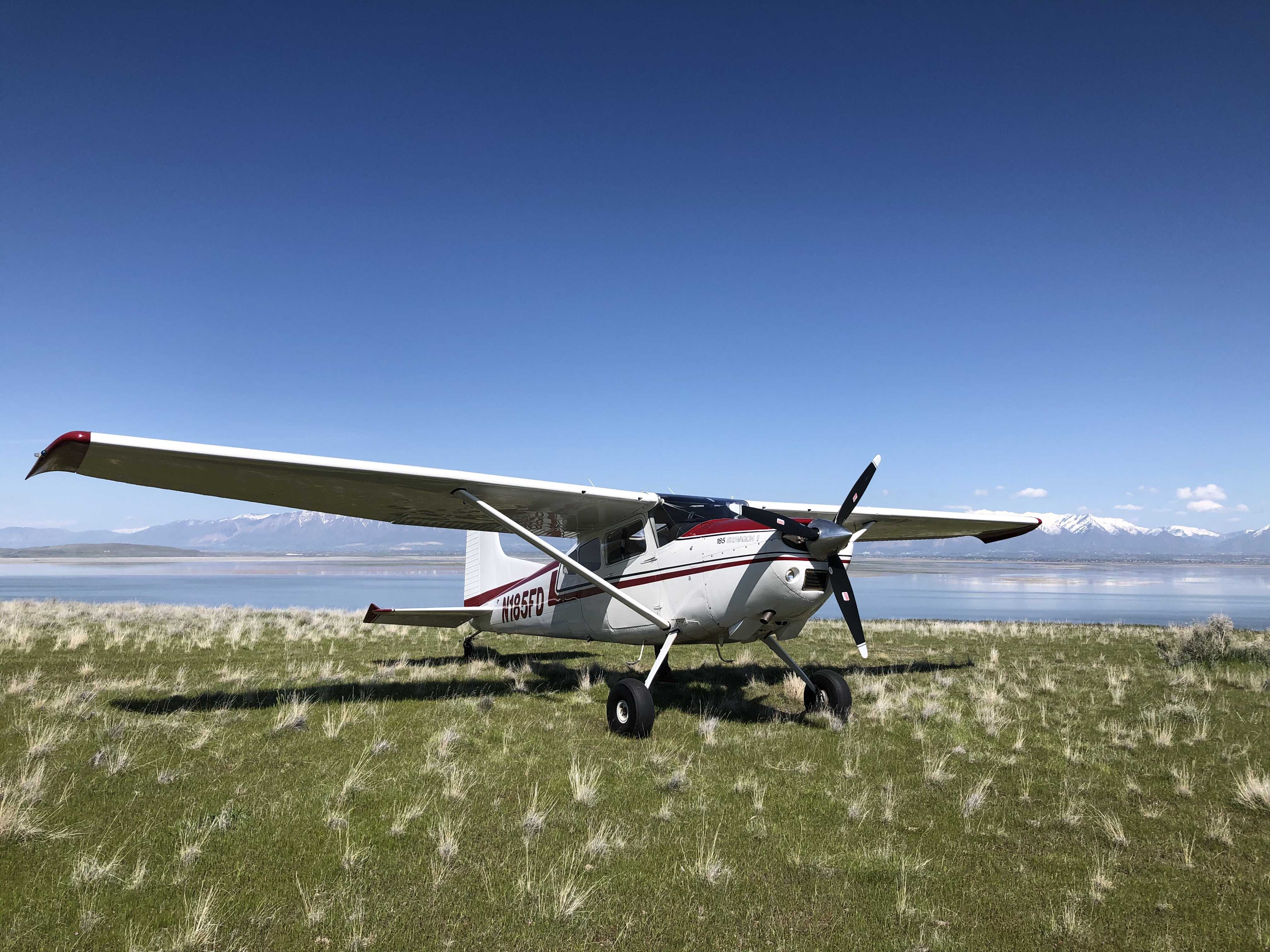
Description: Fremont Island's lower airstrip rests along the northern shoreline of the island. The airstrip resides on the privately-owned island, who's owners have granted us permission to use provided we use the two approved airstrips on the island ONLY, this one and the upper strip.
Runway: 2000 ft long x 10 ft wide dirt runway that was once a four wheel drive trail that is in good condition.
Approach Considerations: Terrain on final approach landing west requires a short approach. Rising terrain just south of the airstrip.
Amenities: None.
Windsock: Yes, located west of the runway.

We haven't written a history for this airstrip yet. If you would like to provide us with some information about this strip, please contact us today!